Black Hills …Iron Mountain Road
date: October, 15, 2021
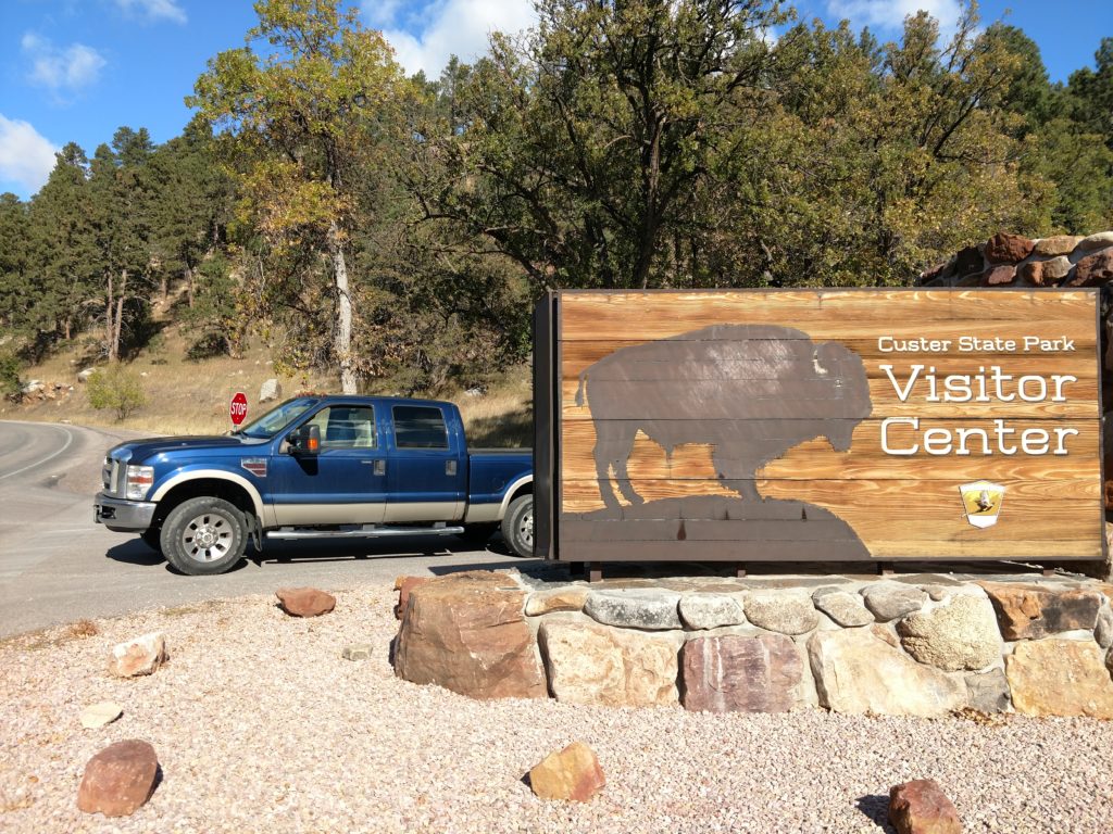
Custer State Park was going to be a nice stop where I could rest and get water and electricity before heading on to Moab. Like Wall Drug, I haven’t been here in years and I wanted to visit the area.
My first destination, was Mount Rushmore. Because of all the snow that had fallen in the Black Hills, not all the roads were open. So my first stop was at the visitor center to find out which roads were open and which were not. Including whether I could even get to Mount Rushmore.
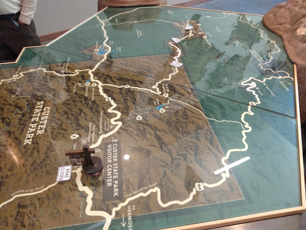
Inside they had a three-dimensional representation of the park and the Black Hills area nearby. The roads were the main factor. The ranger was filling us all in on which roads were open and which ones were not. The Needles Drive, unfortunately, was now closed for the season. It is too difficult to use any equipment to clear those roads.
With the help of the ranger and of the gps, I planned my route to Mount Rushmore. There are good directions all the way anyway, as there aren’t a lot of Road choices. 😯
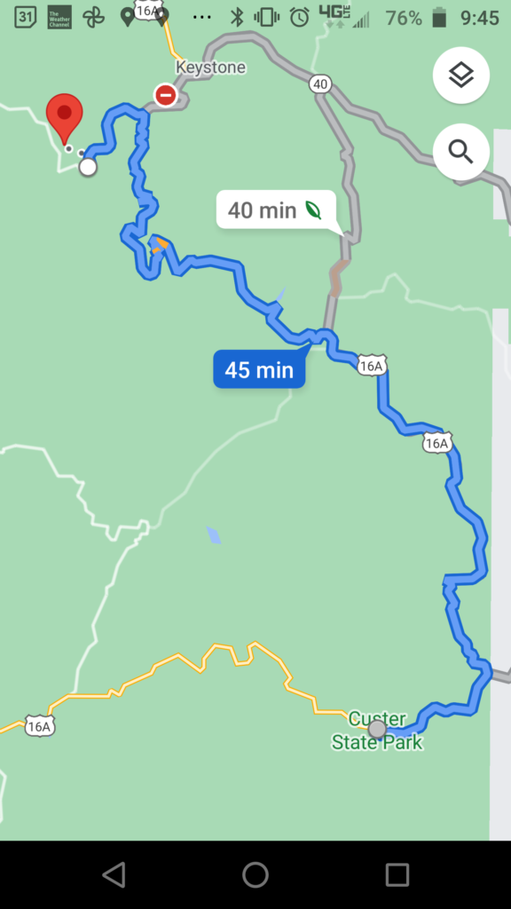
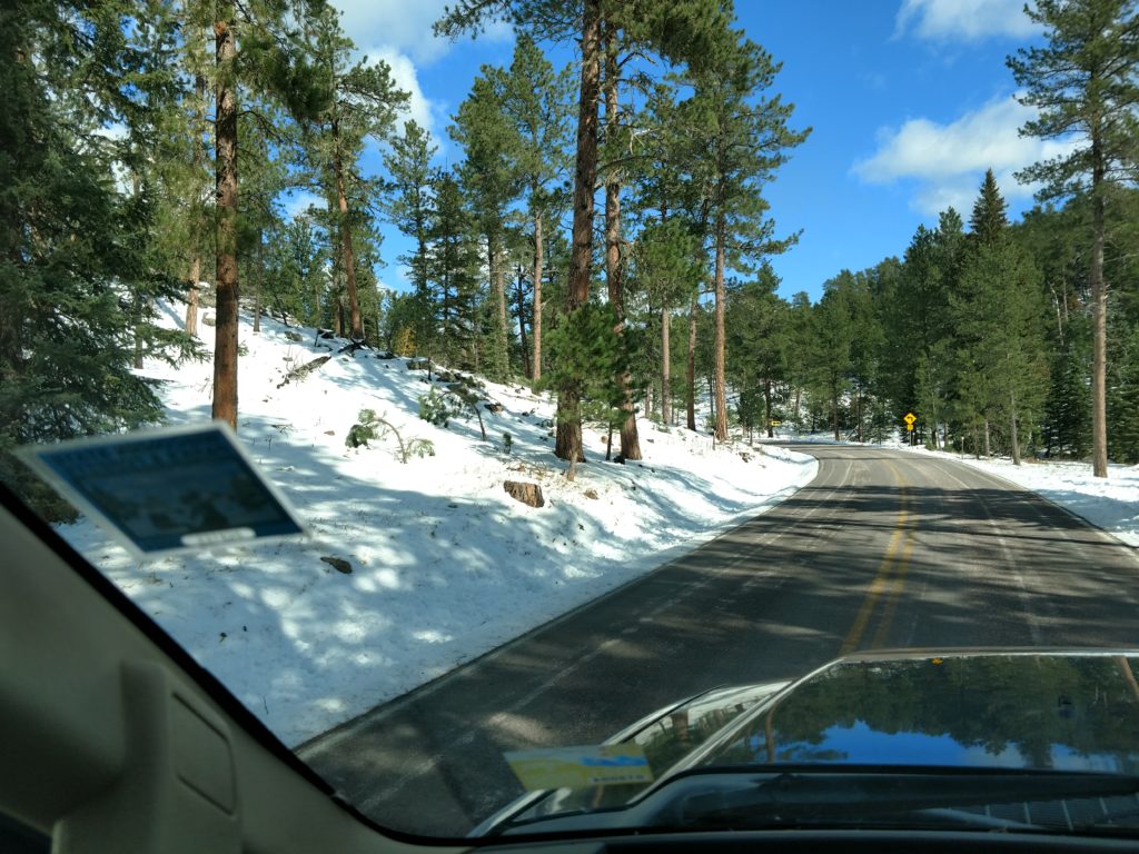
16-A is named Iron Mountain Road. It is a very scenic road, numerous hairpin turns, tunnels , sharp inclines and is not meant for anything other than cars and pickup trucks. They have numerous signs that state the limitations due to the tunnels. It did not take long at all before I got into the snow cover. Custer State Park has big changes in elevation, but is near the 4,000 foot mark whereas the Black Hills are 5 to 6,000 ft.
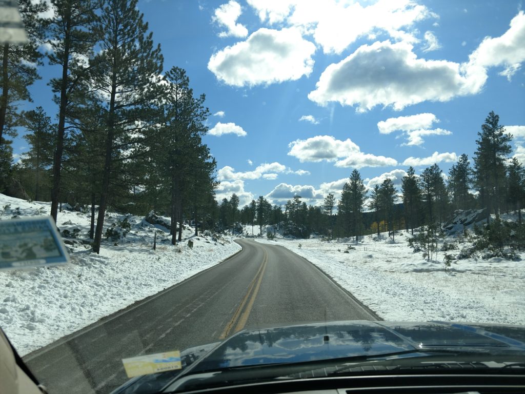
It is a steep climb up to the Norbeck Overlook. It is a tiny road off to three little parking areas spaced in the woods. From there you walk out to a really pretty deck that overlooks the woods, the fields and gives you your first view of Mount Rushmore!
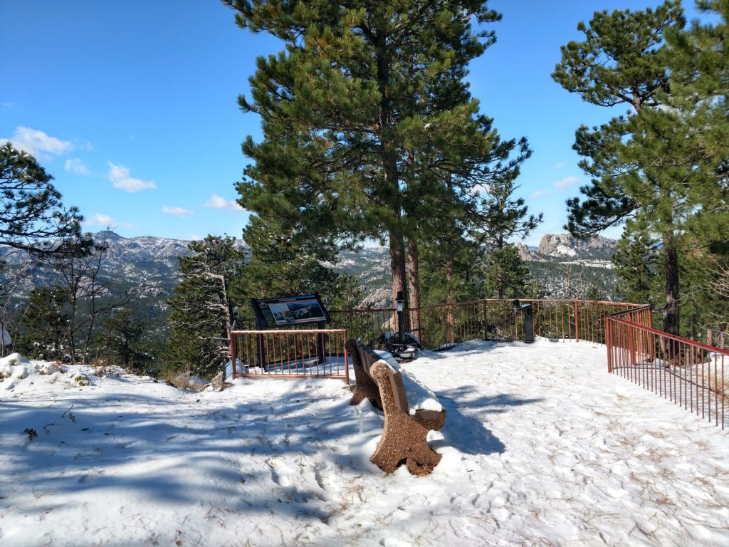
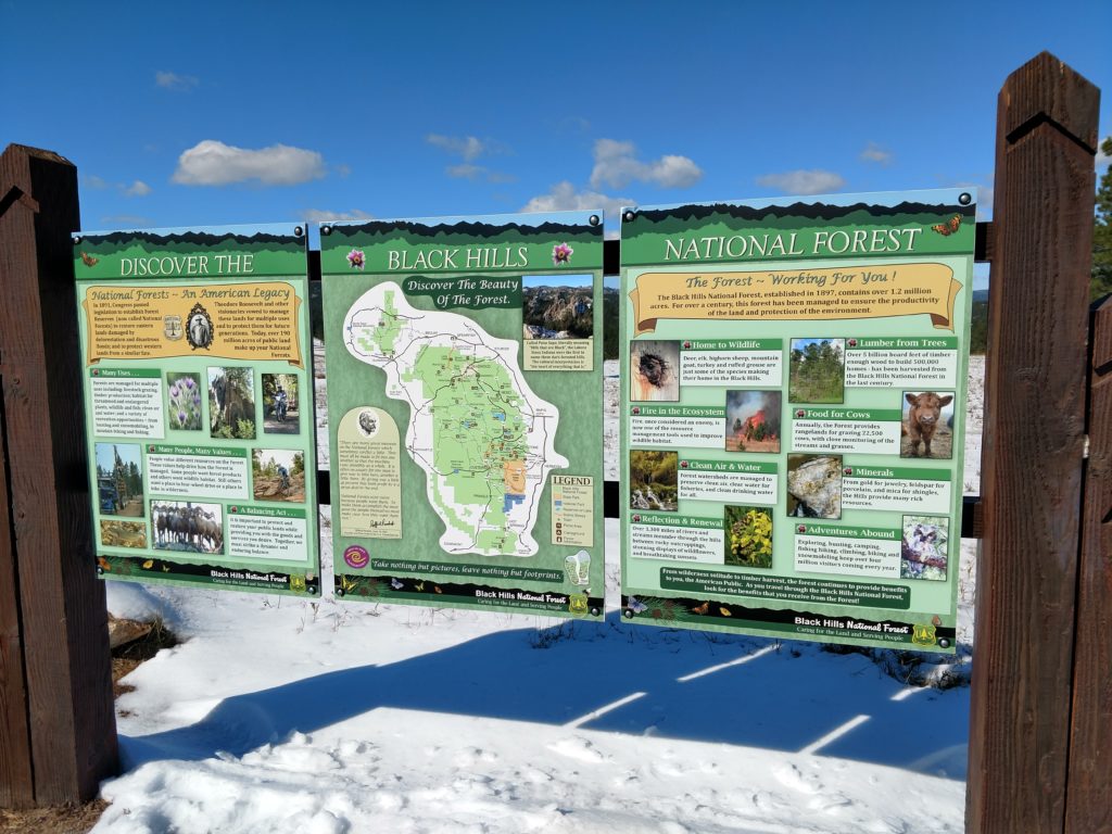
Further along the road I found this way side.
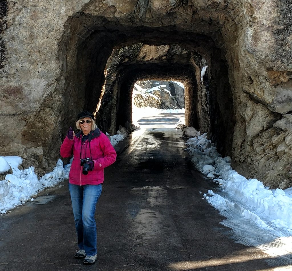
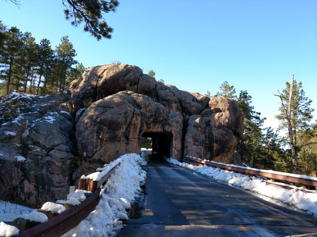
The Tunnels
The best part of this road to me is the tunnels! The road is scenic and enjoyable, but it is really cool to drive through these narrow tunnels. I was fortunate in that it was not busy and I do not believe I had to wait at any tunnel on the way up or back, for my turn to go through it. There are often narrow places where you can pull one car over to get a picture and I would meet others as we would do this to get photos of the tunnel or pictures in front of the tunnel. I met an extended family from Houston Texas that were all of Asian descent and we took pictures for each other. You keep meeting at the same places when you get into Parks like this. 😊
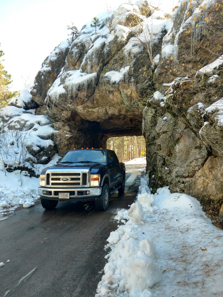
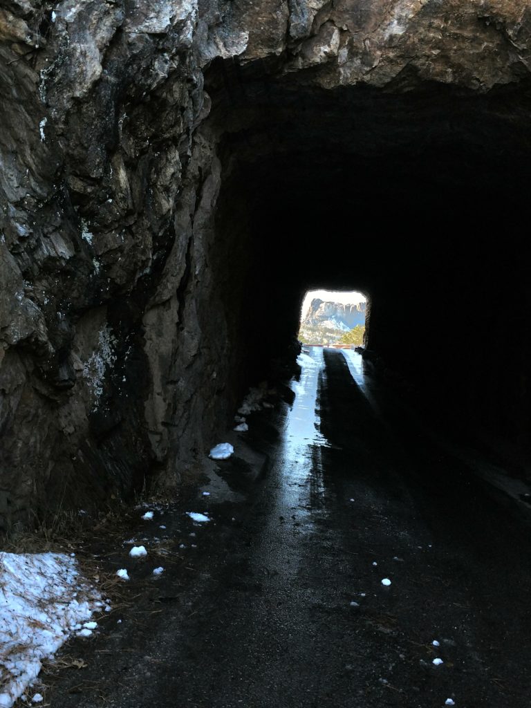
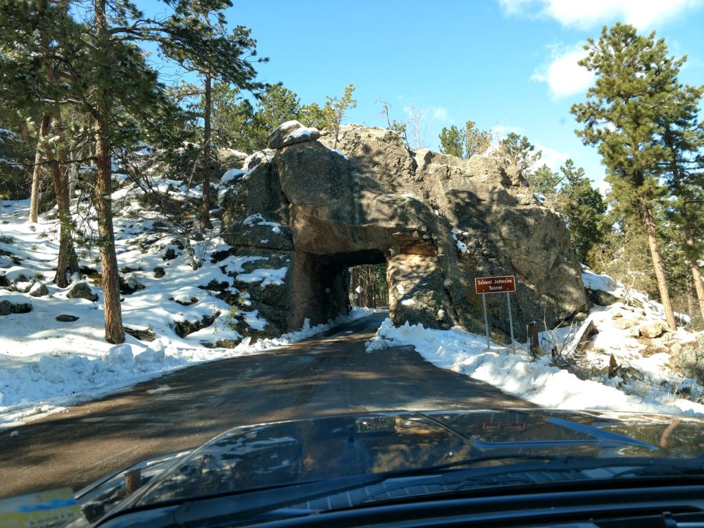
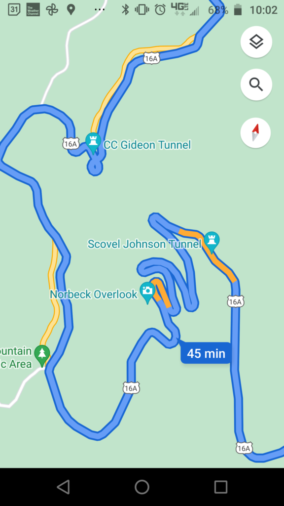
I had forgotten there were sections on this road where it made a complete circle and they refer to it as a pigtail. This is one of the pigtails.
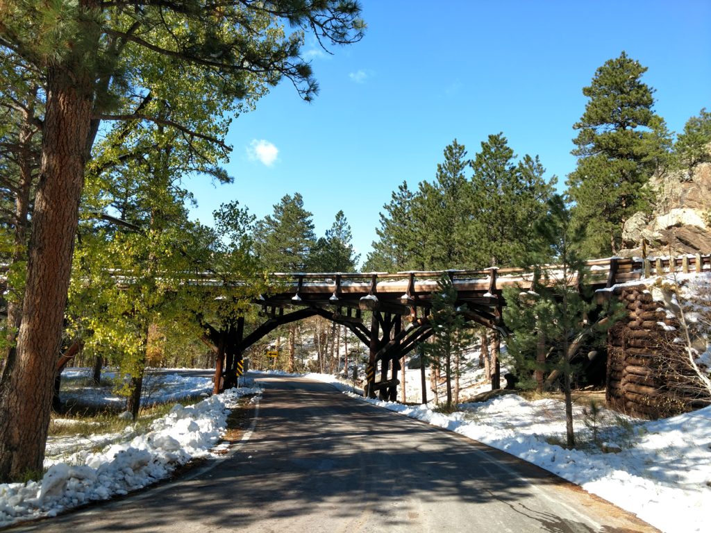
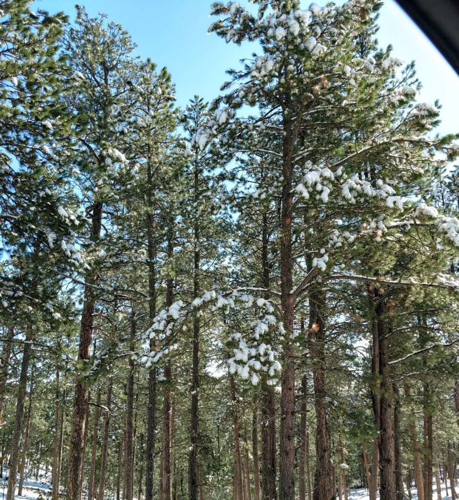
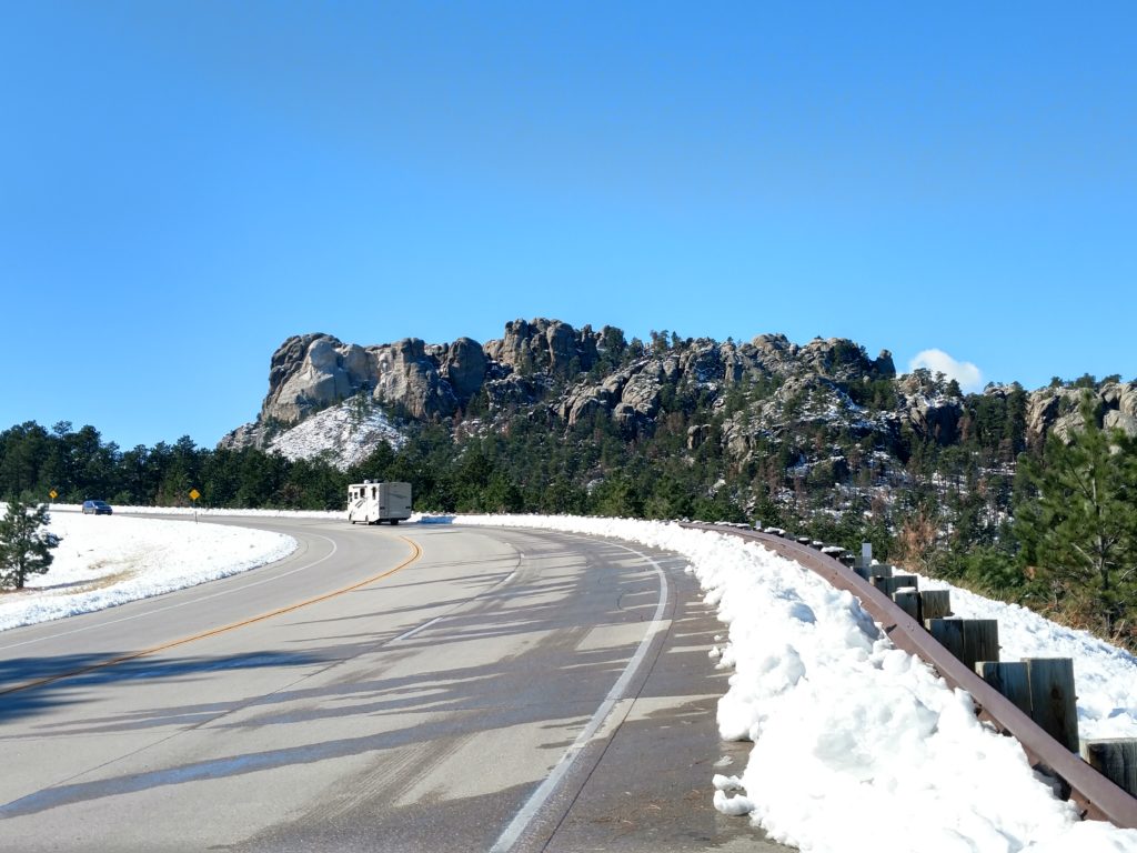
If you have been to the Black Hills but have not seen it in the snow, I think you will enjoy the following pictures.
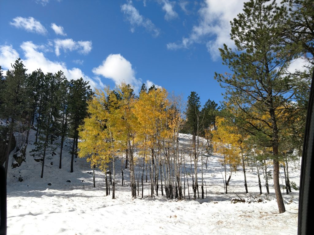
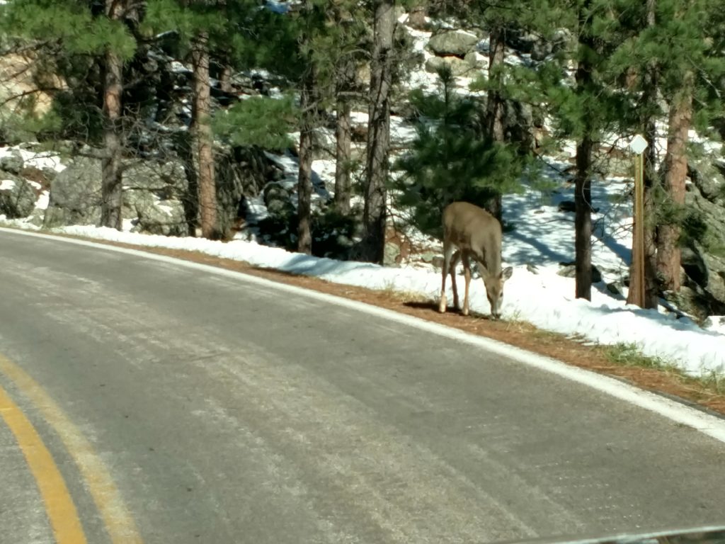
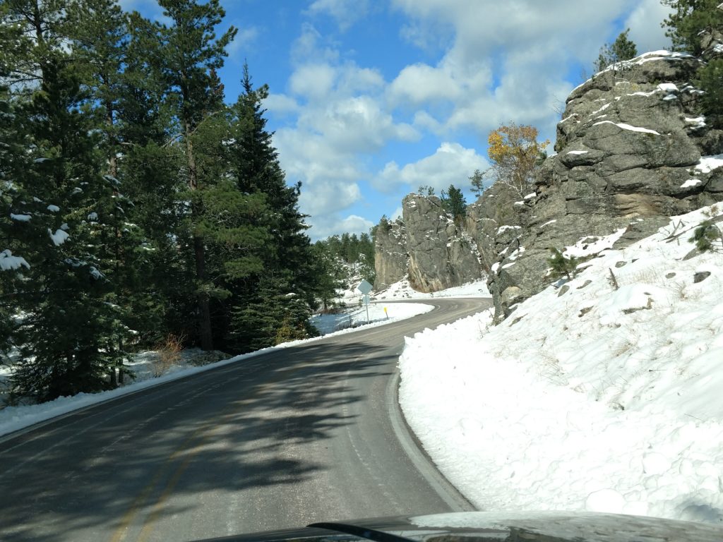
Next:. Mount Rushmore in snow