CU #3 – Homol’ovi State Park , AZ
April 16-25, 2022
The Park – The Sites
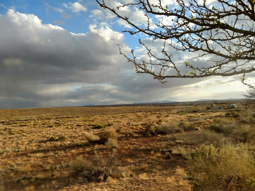
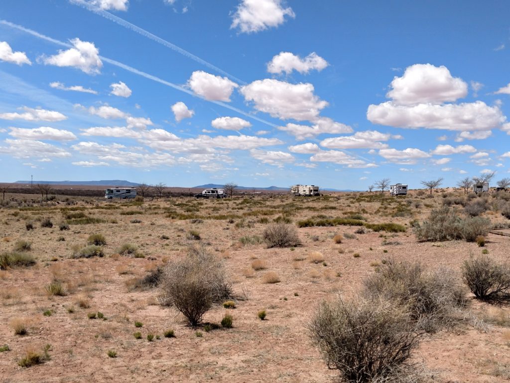
Homo’lovi State Park is located just east of Winslow, Arizona. I had stayed here 2 years previously, during my trip back to Wisconsin. It is located in a wide open, grassland area with gentle hills. The whole area around Winslow does get quite windy. During the time I was there, on two separate days, the winds were in the 20 to 40 mph range. And on one day we had gusts that topped out at 67 miles per hour according to the ranger! On those days I pretty well stayed inside, along with most of the other campers. The wind is warm however, so that’s nice! The RV would shake and you could just hear the wind come whistling through the vents.
The first day I arrived the winds were in that 30-40 mph range. I was fortunate in that they were from the southwest. Since I was traveling East and northeast, they periodically helped me out. I would not have traveled into the wind as the diesel mileage would have been in the pits!! And the gusts are dangerous.
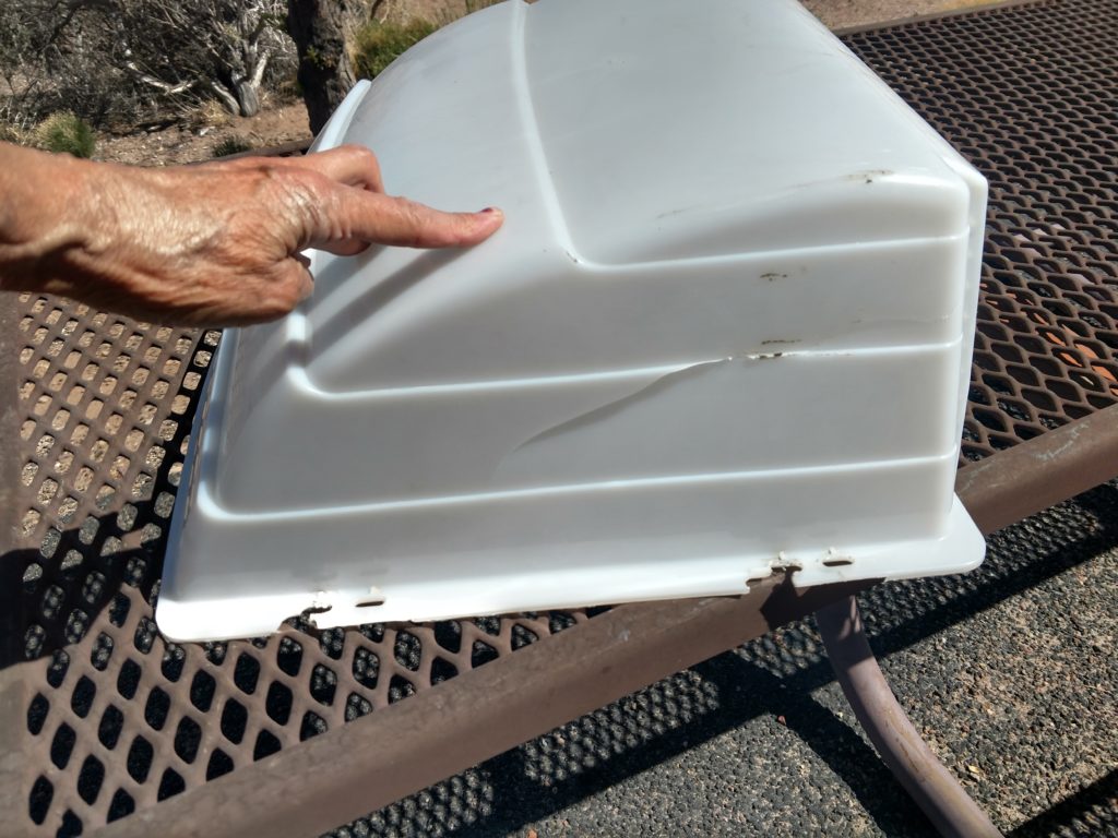
After I had settled in my site the first day, probably about 2 hours later there was a knock at my door. It was a fellow camper who had brought the above cover (for one of my roof vents) to me! He found it on the ground between our sites and figured it must have been mine. I had no idea it had been ripped off by the wind! It must have been loosened while I was traveling and then the gusts here took it off the rest of the way. 😯 Very happy he brought it over. 🙂. I was hoping there were no open holes in the roof from it being pulled off, but felt relieved that I was in dry Arizona! With my broken wrist, and the wind, I had no intention of getting up on that roof! If it rained and it leaked, I’d deal with it later. 🙄
In order to stay at the park as long as I wanted to so I had time to take in the area sights, I had to reserve 3 different sites. Even with my healing broken wrist, I got pretty good at unhooking and hooking up and making the move. There wasn’t much difference between the sites and the views were pretty much the same. One thing I did notice though, because of the winds. I don’t think it was by accident that our RVs were never broadside to the South and West winds. So when the winds came, we were in line with them. 👍
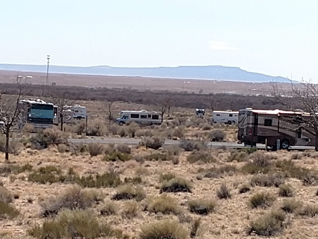
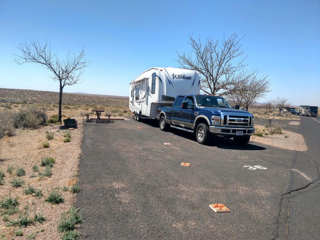
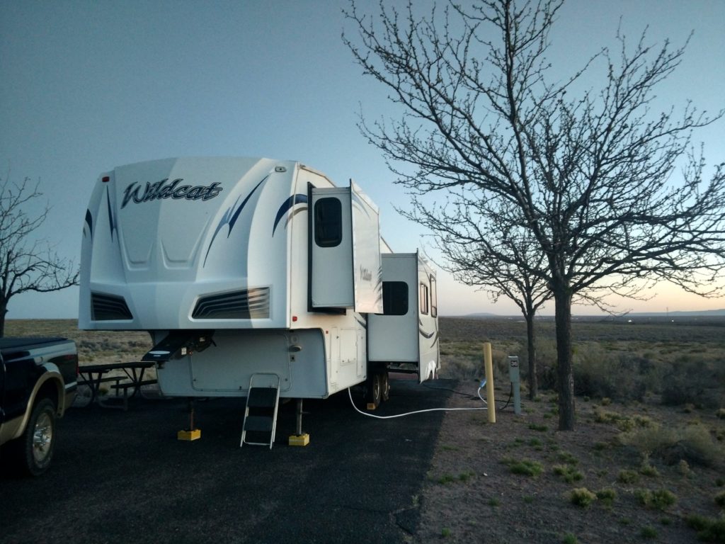
You would think with that much room to back your RV into , that it would be relatively easy. However, for this site I had to make my turn on the passenger side. That means I was reliant totally on the passenger mirror. I had to get out numerous times to double check my driver’s side RV rear. What made it difficult was not having a guide for my RV tires on the passenger side. Usually I go along the end of the blacktop and I know how to swing. That is why I put out the square blocks. They became my road guide to back in with and it went much easier! 🙂 I tried without it and couldn’t seem to do it. So you pick up little tricks along the way.👍
With this much room, I had to determine how far back to go with my RV. I wanted to be able to unhook the truck and still place it in front of the RV afterwards. I also took a look at where my door would open on the picnic table side, so it would be convenient. Then I had to check on the opposite side to make sure I have enough room for my slides to come out cleanly without making contact with the electrical and water posts or the tree. You look down and you look up before you put the slides out!! 😬 I also want to be able to put my back jacks down on the black top. I bought an extra 30 amp electric extension cord last year after I had difficulty with some sites because my cord was not long enough. I have had to use that cord more than once. Best purchase ever! I also have an extra drinking water hose. I’ve had to use that on more than one occasion as well. But here, everything was well planned out. 👍
Homol’ovi Ruins II
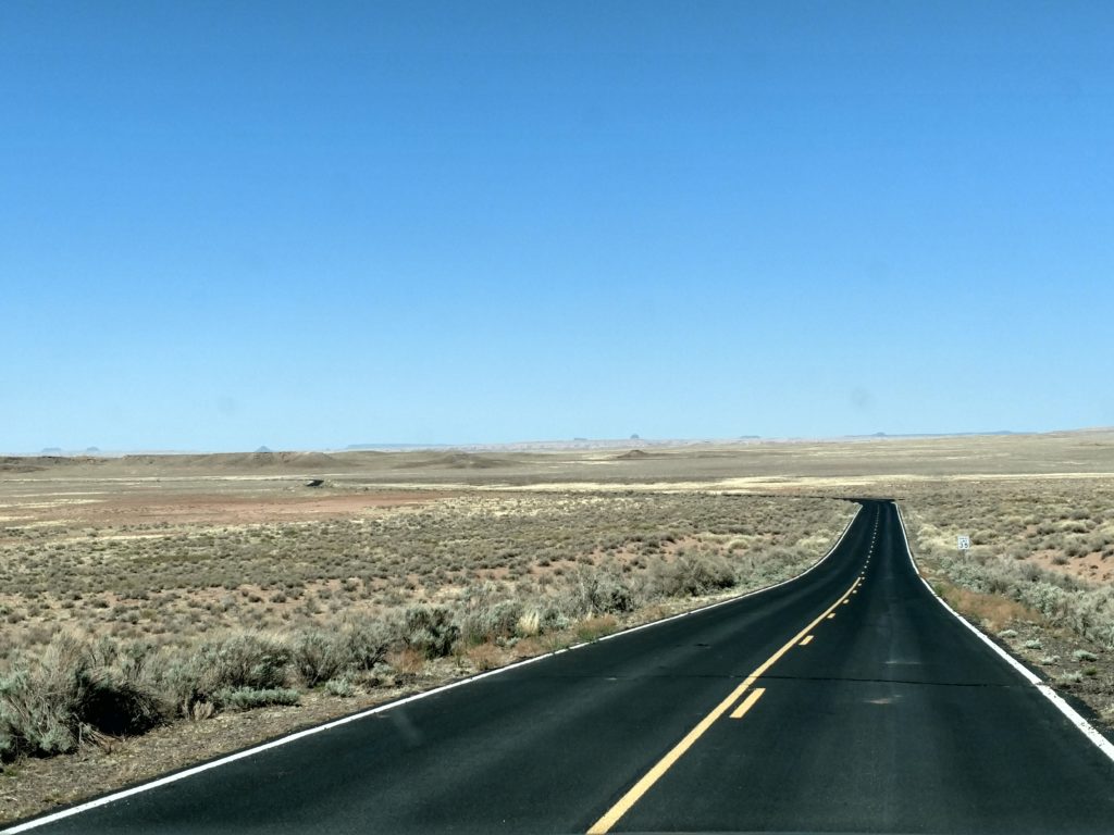
While I was here, I did want to take in some of the historic sites that were located within the Park. One of those were the Homol’ovi ruins. They have site I & II. It was about a four mile drive from the Park Visitor Center to the Homol’ovi II ruins. It was a very nice but isolated road within the park. 😬
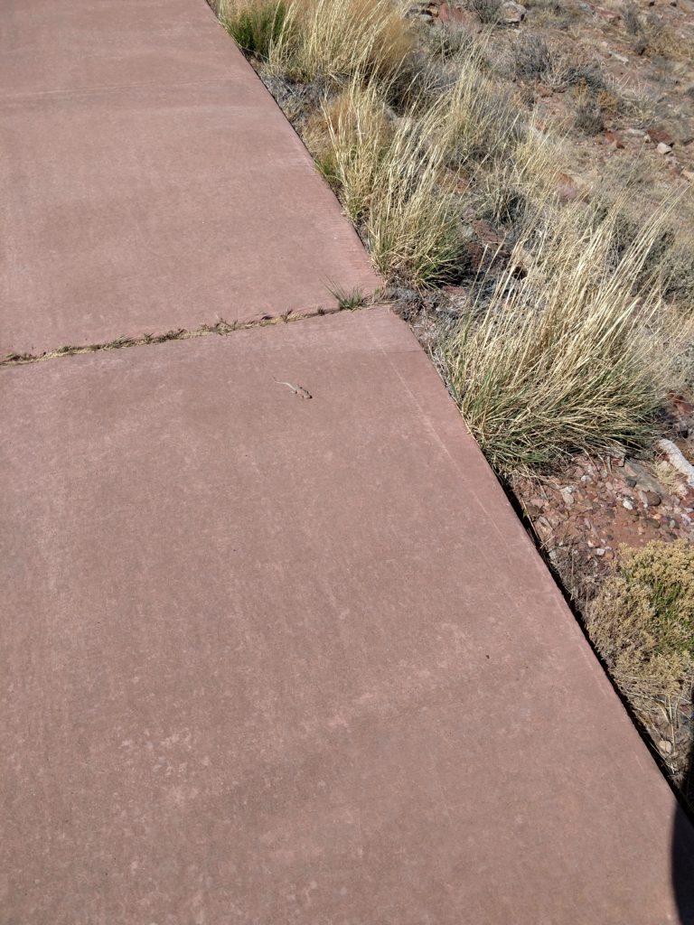
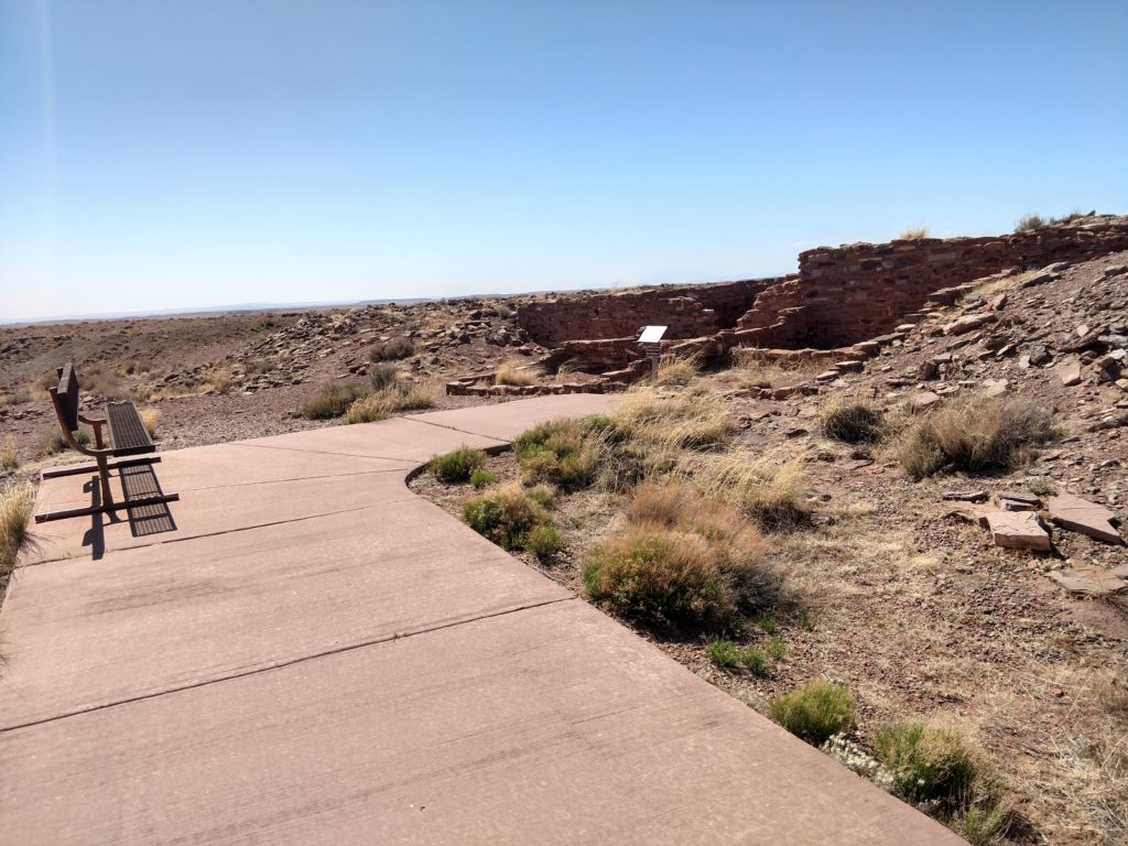
At the end of the road there is quite a steep hill to climb to the ruins. There is a reddish sidewalk the entire way. It was quite windy and I was the only one there. I didn’t feel skittish or afraid, because I really was the only one there! And anyone else coming out on that long desert road is going to be coming to look at the ruins as well.🤔 My attention was to watch out for snakes! There may be more in the area since nobody is there very much. Did not see any. But I did see this little reptile!! 😊💗
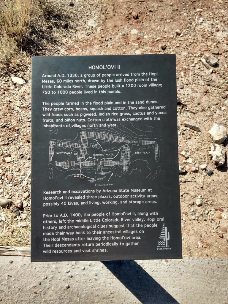
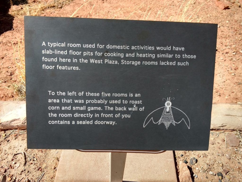
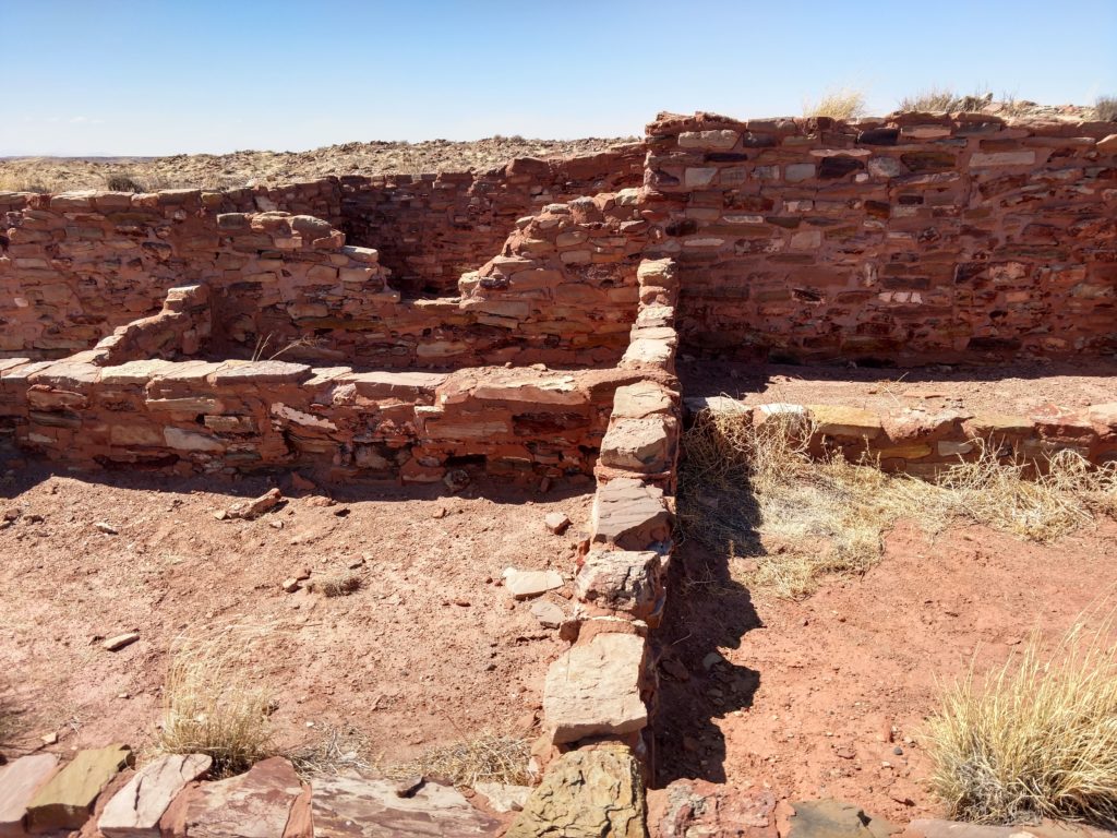
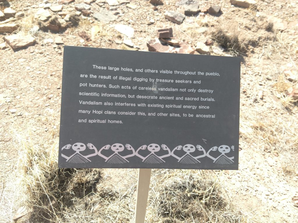
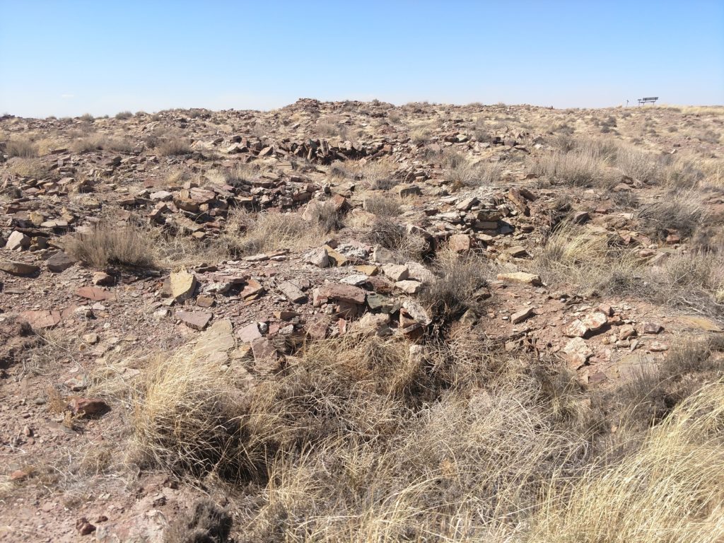
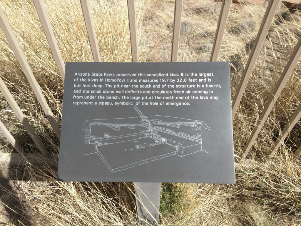
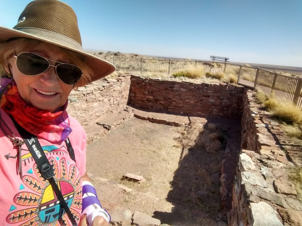
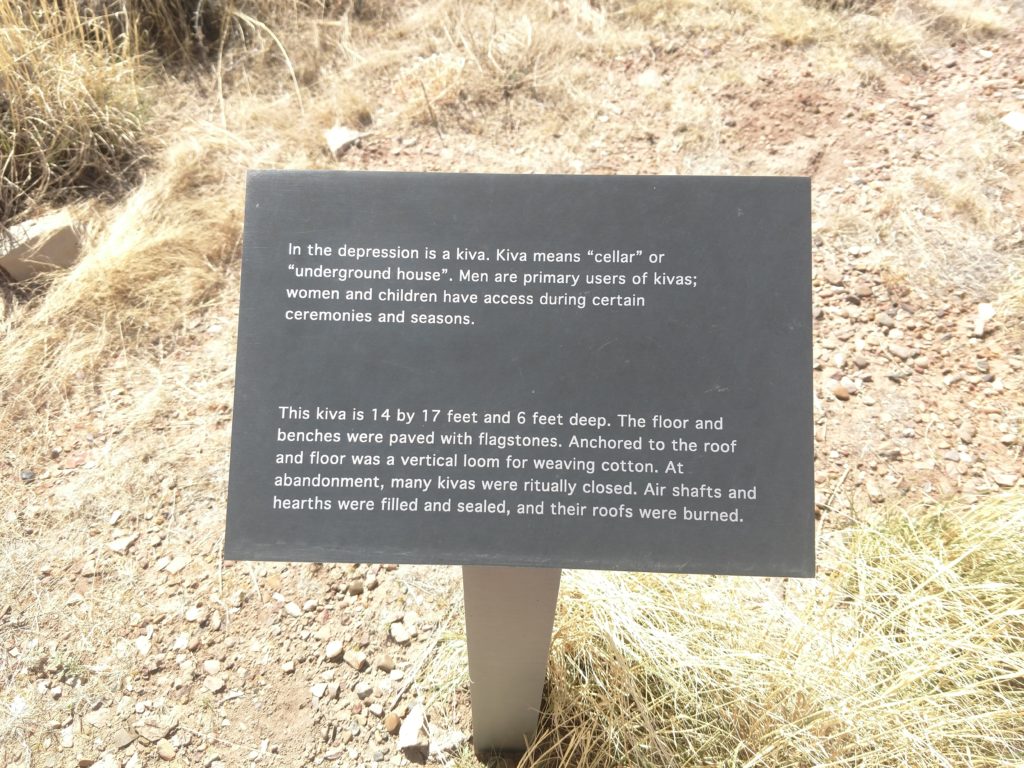
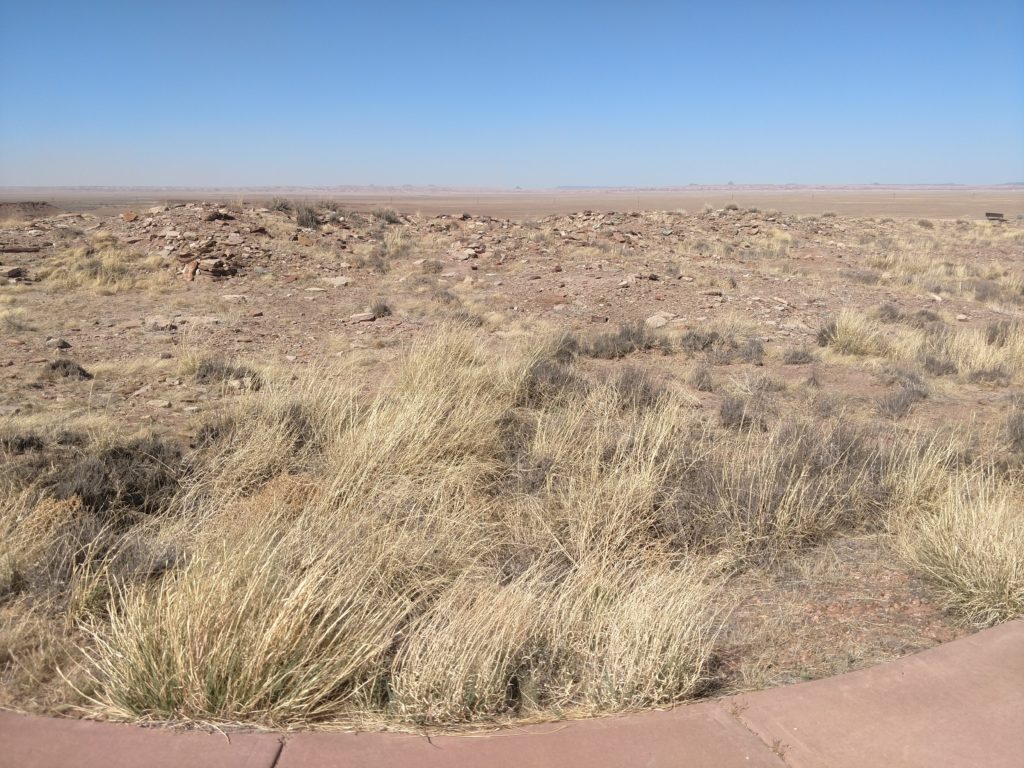
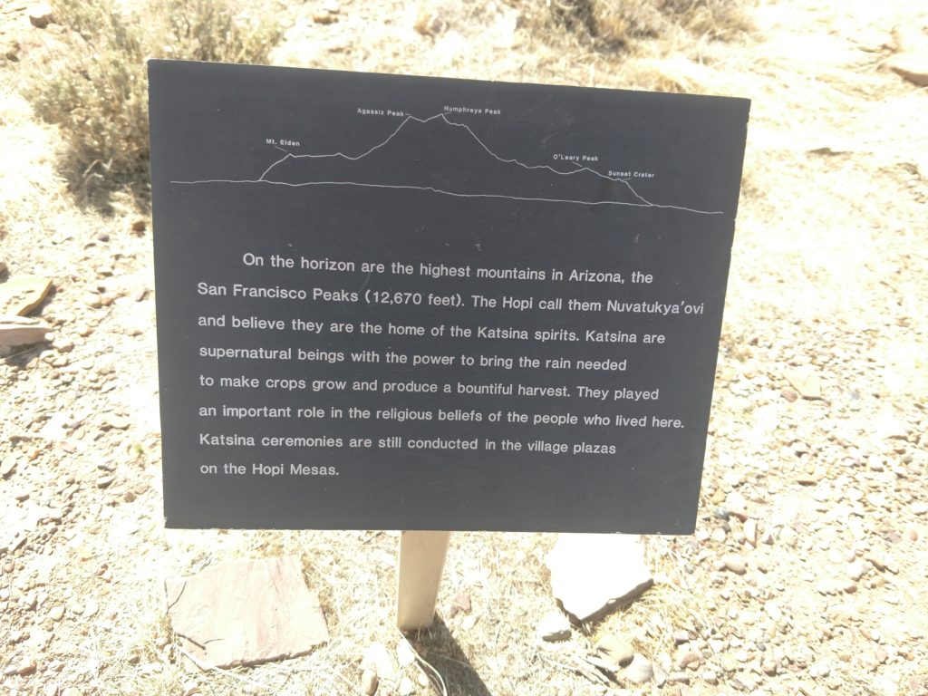
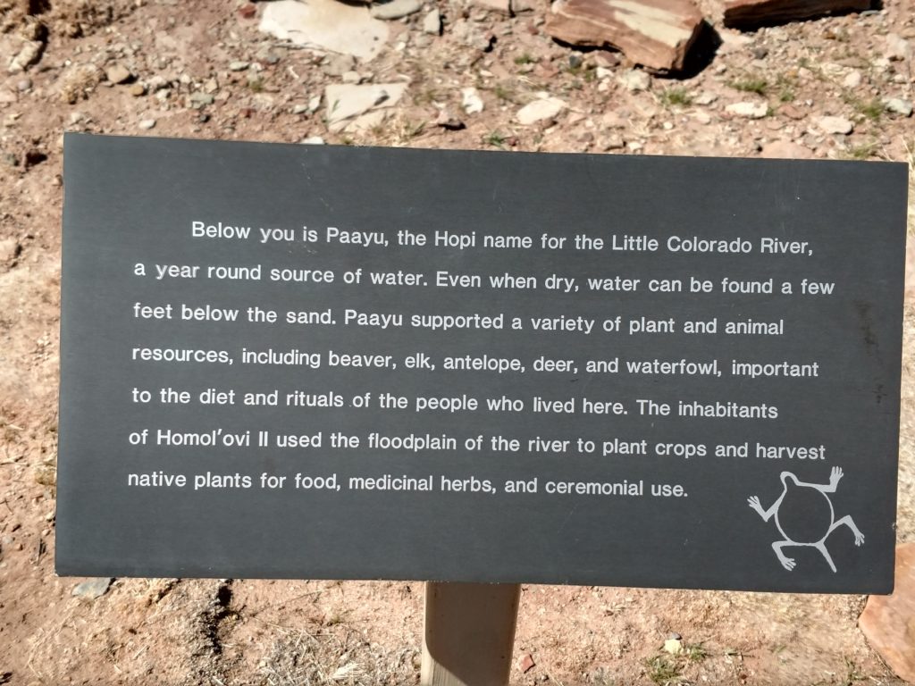
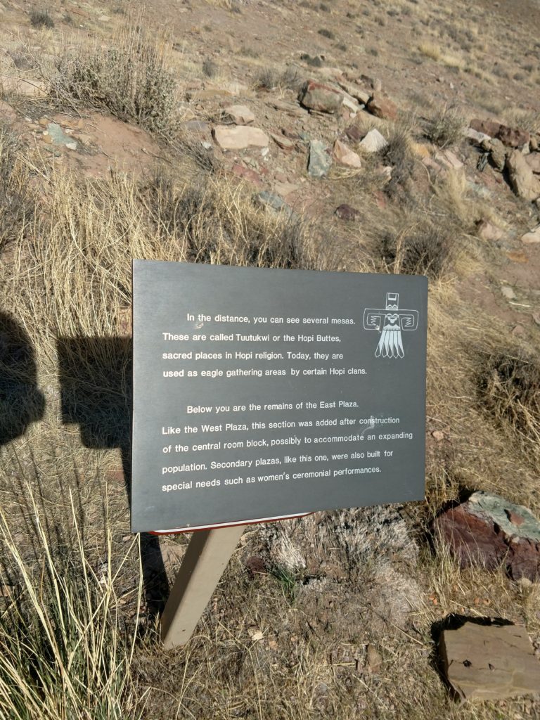
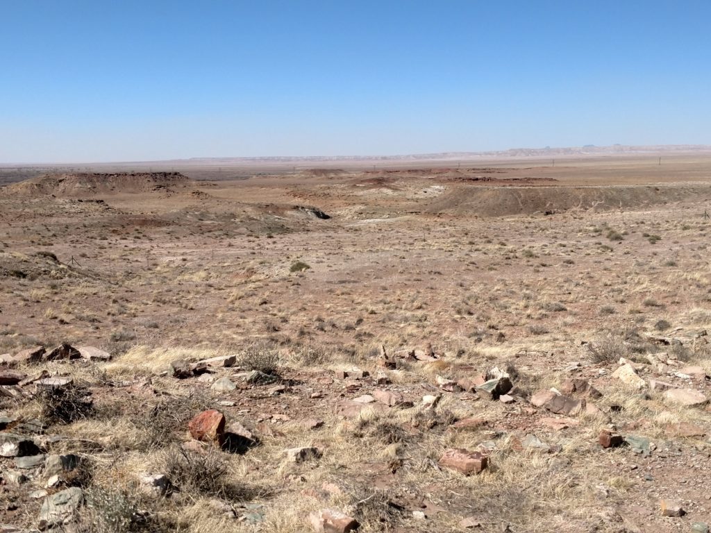
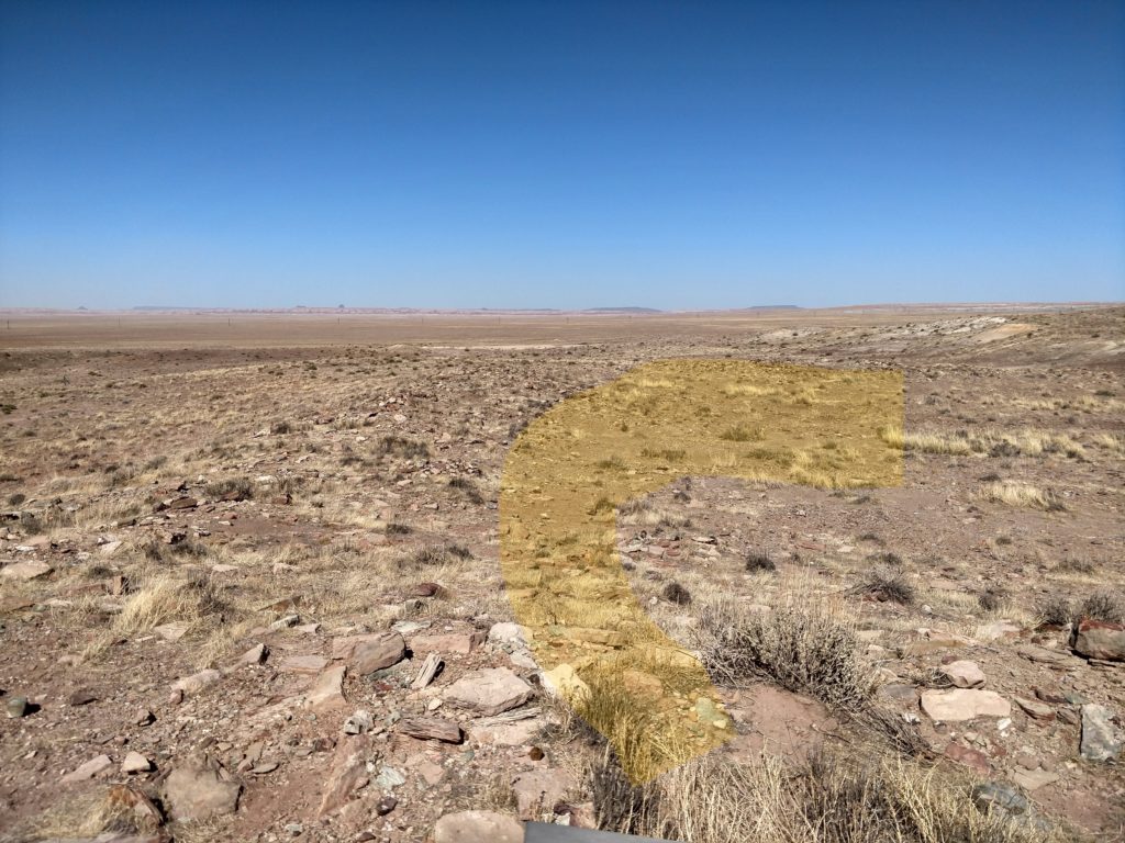
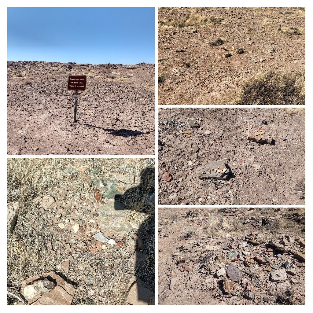
The Park makes it very clear not to take anything from the site because of it’s scientific importance as well as being the ancestral home and the Spiritual site of the Hopi… meaning it’s illegal. All this is out in the open with absolutely no one around??? Honor system. 🤔
I see that people like to find the pottery pieces and place them out in view. Of course we’ll never know how many have been discovered and taken. ( For the record, I didn’t even touch the pieces 😬) They really are amazing pieces of pottery with some interesting designs. They definitely had skill and a desire to be artistic, 700 years ago.
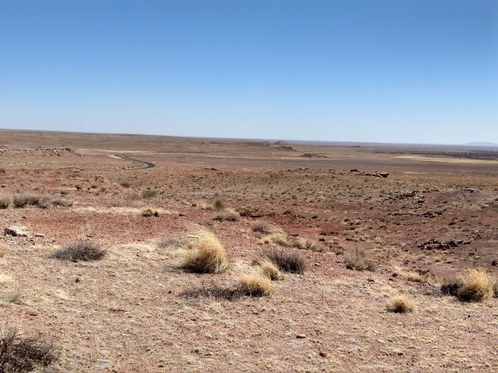
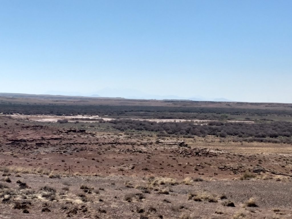
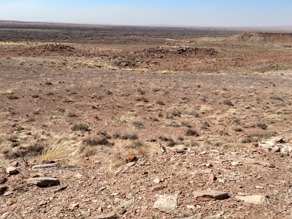
What a view from that height! Not only could they “see into tomorrow”, they could see into next week!! The blacktop road is the only way in and the ruins are at the end of this road.
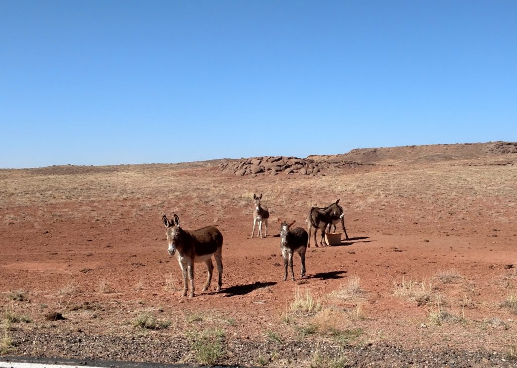
Look who I found on my drive out!! They were so cute and so curious!! I’ve grown to love donkeys!! 😊
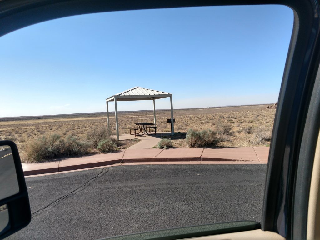
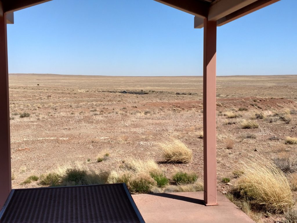
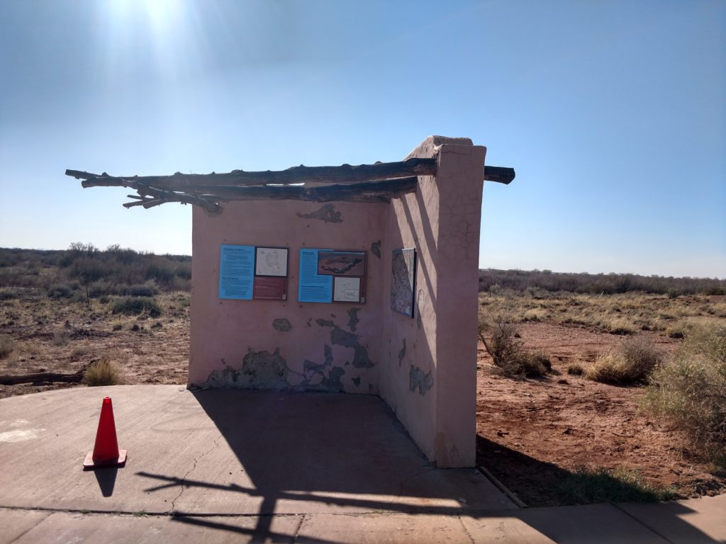
Along the road on the way to the ruins, there are at least five to seven little sheltered picnic areas like this one. I admit I cannot imagine coming out here in the middle of nowhere to picnic. I wonder how busy it gets in the summer. And how hot! 😎🌞
Off to Homol’ovi Ruins I
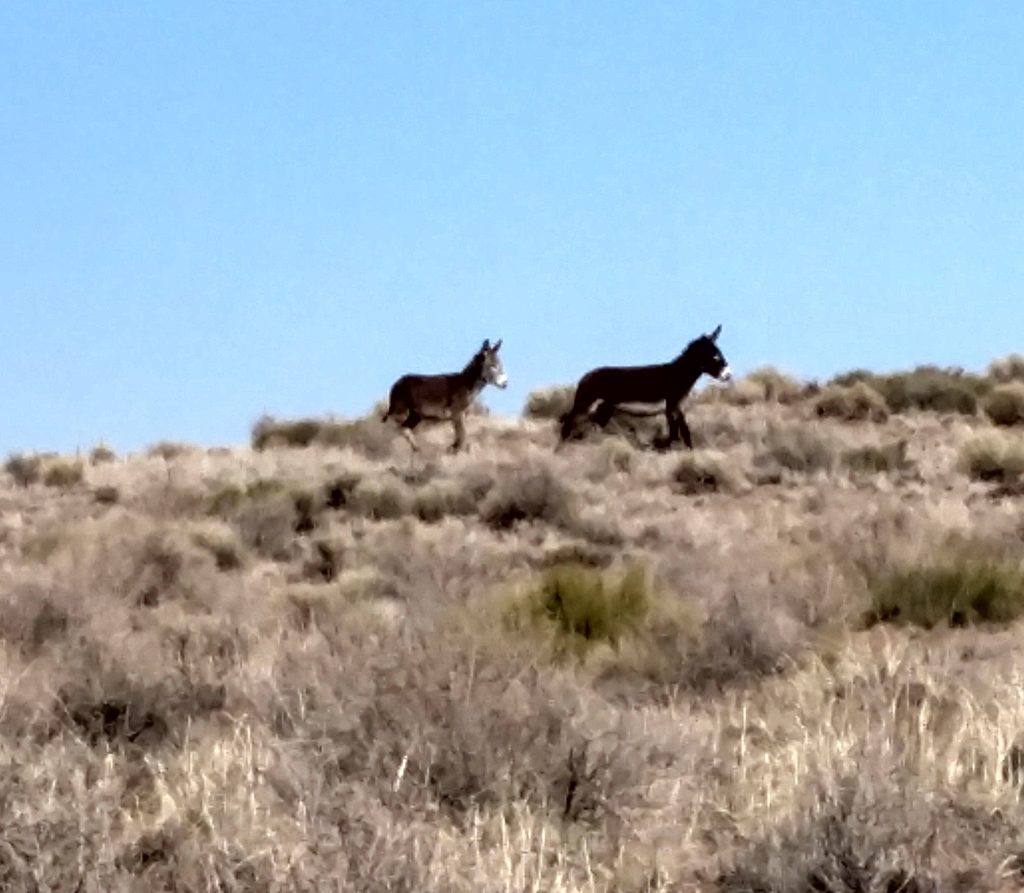
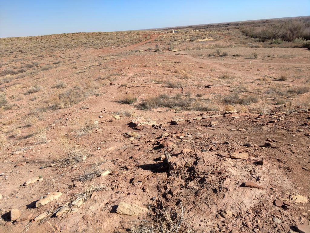
On the other side of the Park is another set of Hopi ruins. This was a smaller settlement. However, here the Little Colorado River is still running next to it. This was a mile drive from the campground. This one was not developed like the other one. It did not have any paved sidewalk, benches or anything. You walked up through the gravel and walked around the ruins on what looked like “social paths”. They just had little green stakes on the outside of it to kind of give you an idea of where to go. They had the access to it fenced off with a gate to use. I think this was to keep the donkeys out! As I walked to it, I turned around and saw donkey’s staring at me!! 😯😃
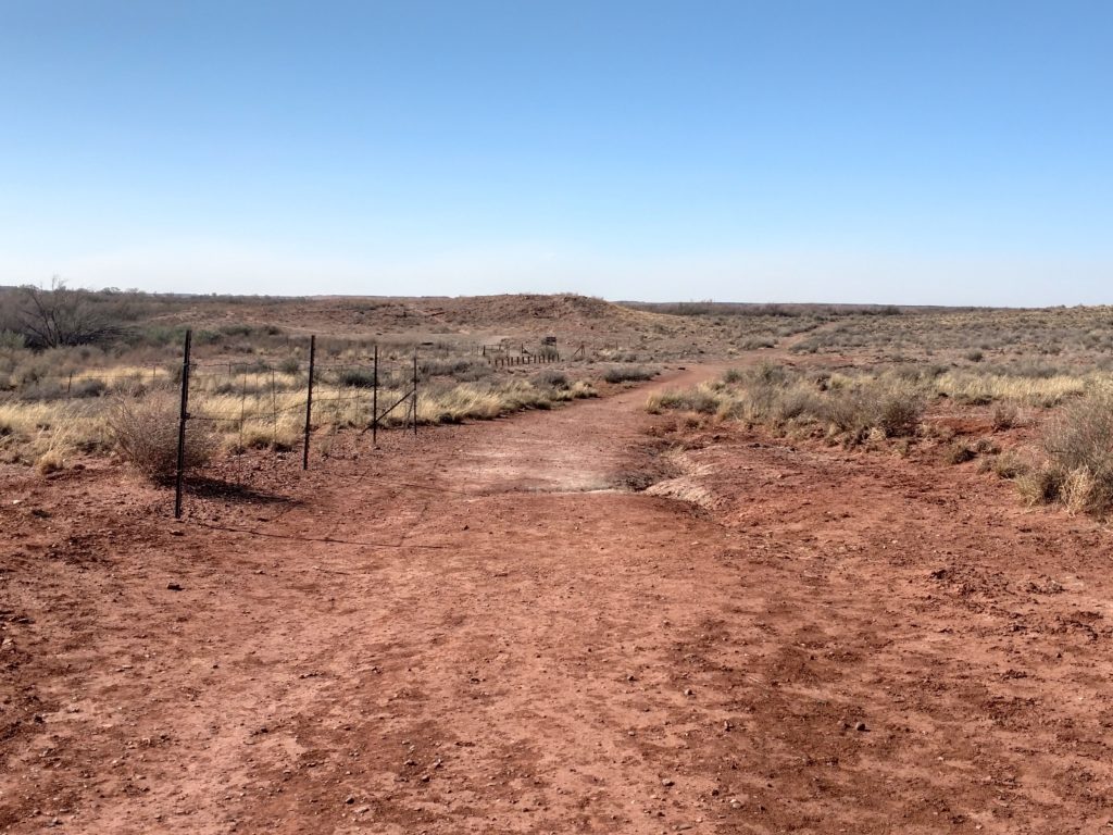
If I had not been here before, I would really wonder if I was in the right place and where to go! This definitely is not the popular ruins to go to.
They must have had some dangerous incidents near the Little Colorado River which is to the side of these ruins. It was fenced off and the sign made it very clear of the dire consequences of getting too close to the river!! 😲
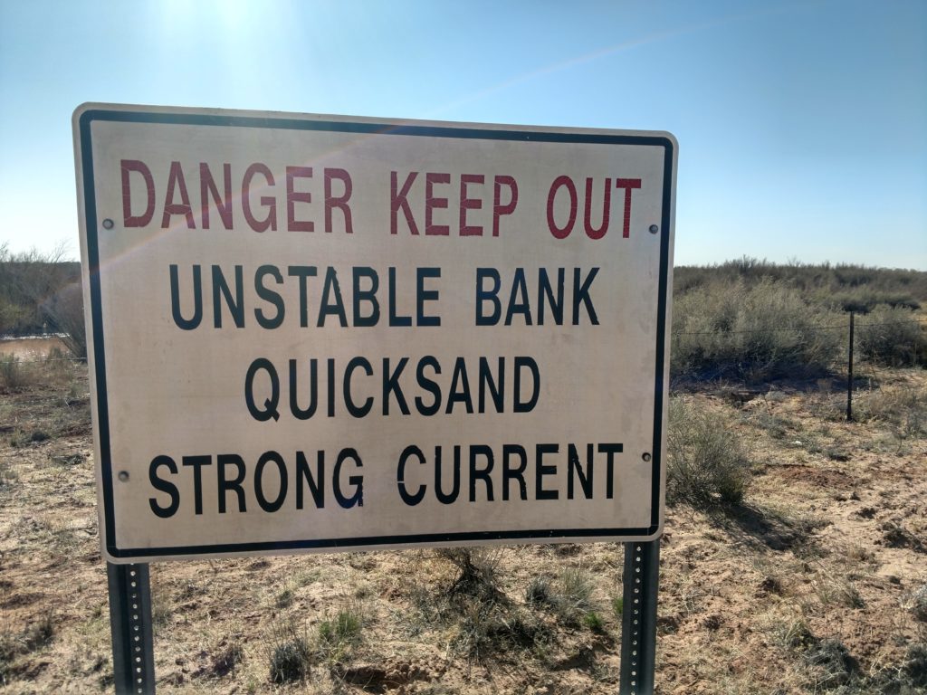
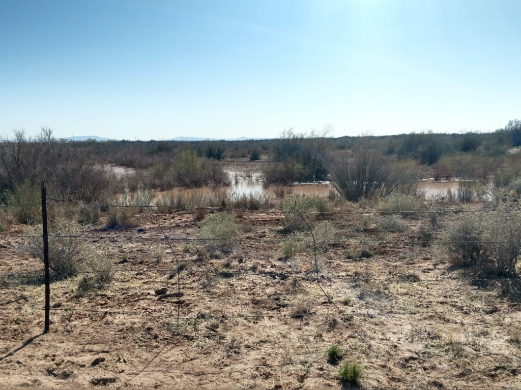
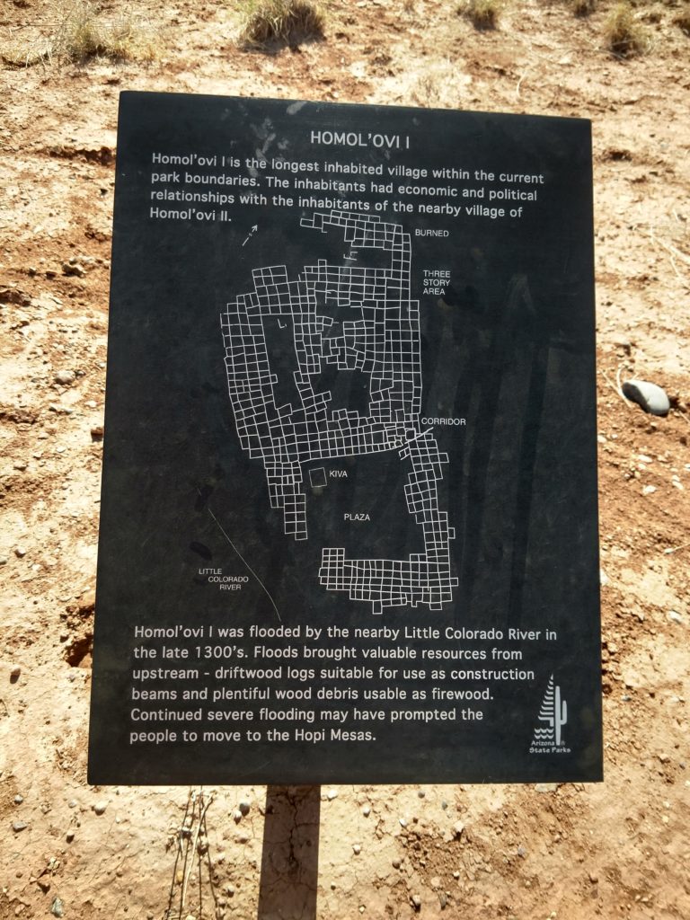
Very interesting that the river was high enough at times to actually flood the community. When they talked about wood coming down the river and being put to use, that had to be very helpful. The landscape had to be quite different then. The flooding must have affected any crops they planted as I see it motivated them to finally give it up and move to the top of the mesas.
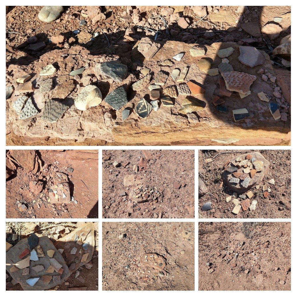
I was impressed that there was a larger variety of the kind and style of pottery shards here than at Homol’ovi II. Were they more advanced artistically and skill-wise? Or is this site less popular and that’s why more pottery shards are evident The first thing I think of when I realized that quite a few of the pottery shards I photographed before, are missing. ( There were a lot of different shades of whites with blue designs and they stood out) Were they taken by someone over the past couple years? Of course there are also other reasons. They could have been gathered by the Hopi themselves and put in their own museum or used in ceremonies. Or they could have been blown away and covered by sand by these constant winds. But I have to say, there was still quite attractive ones visible!
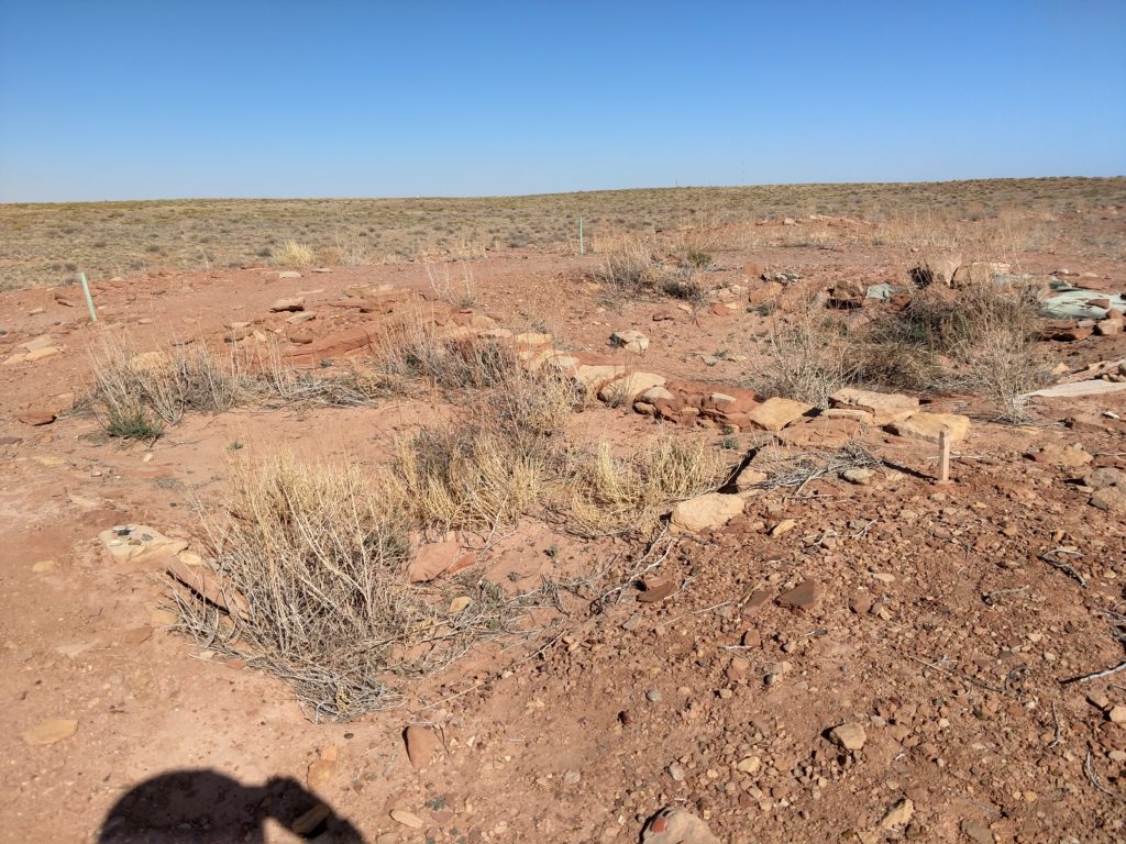
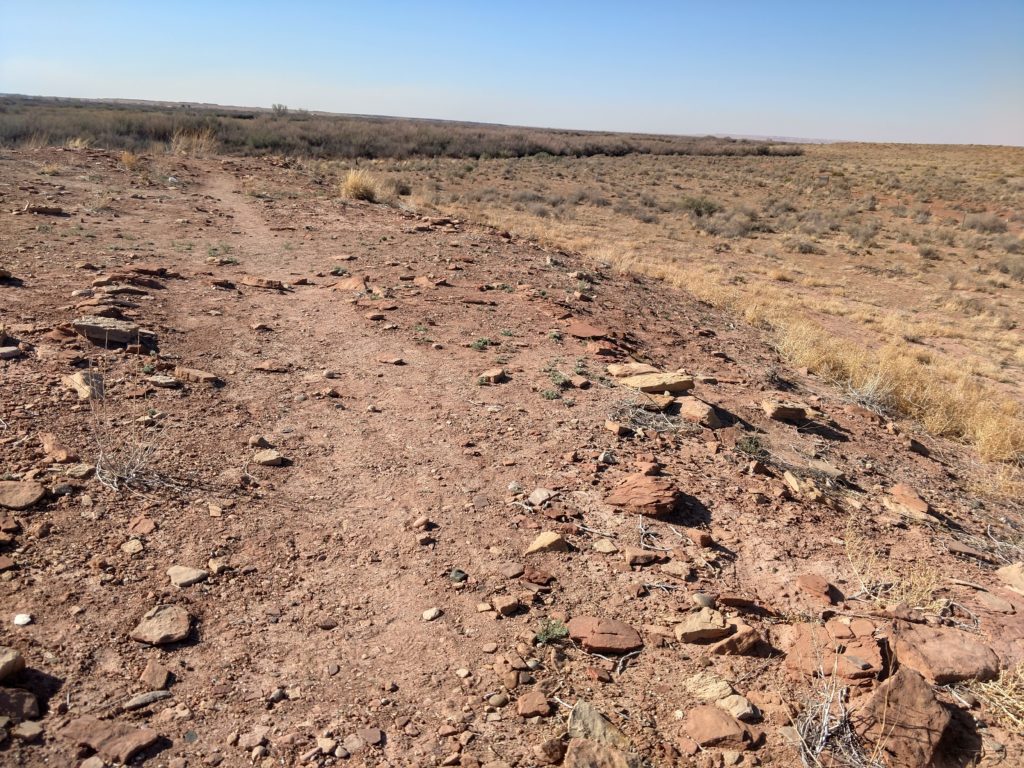
You can see one of the paths on the above picture. The paths crisscrossed the top of and along the sides of the village. Most of it was covered under the sand, but you could see the outline of the exterior walls of the Old village.
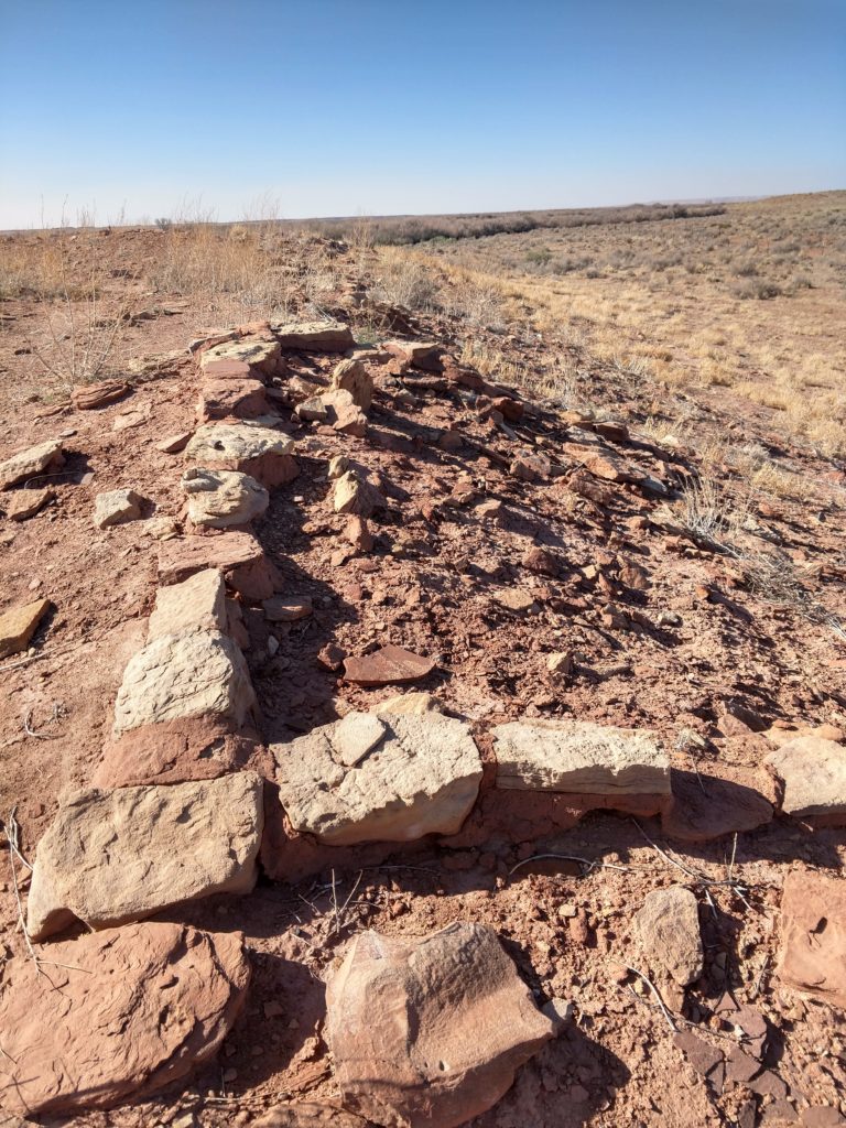
It took a while to actually get an “eye” to see what I was looking for, if that makes sense. Then I would line up the camera to take a good picture. Otherwise it can just look like a lot of scattered blocks and stone and pottery with no order or reason to it.
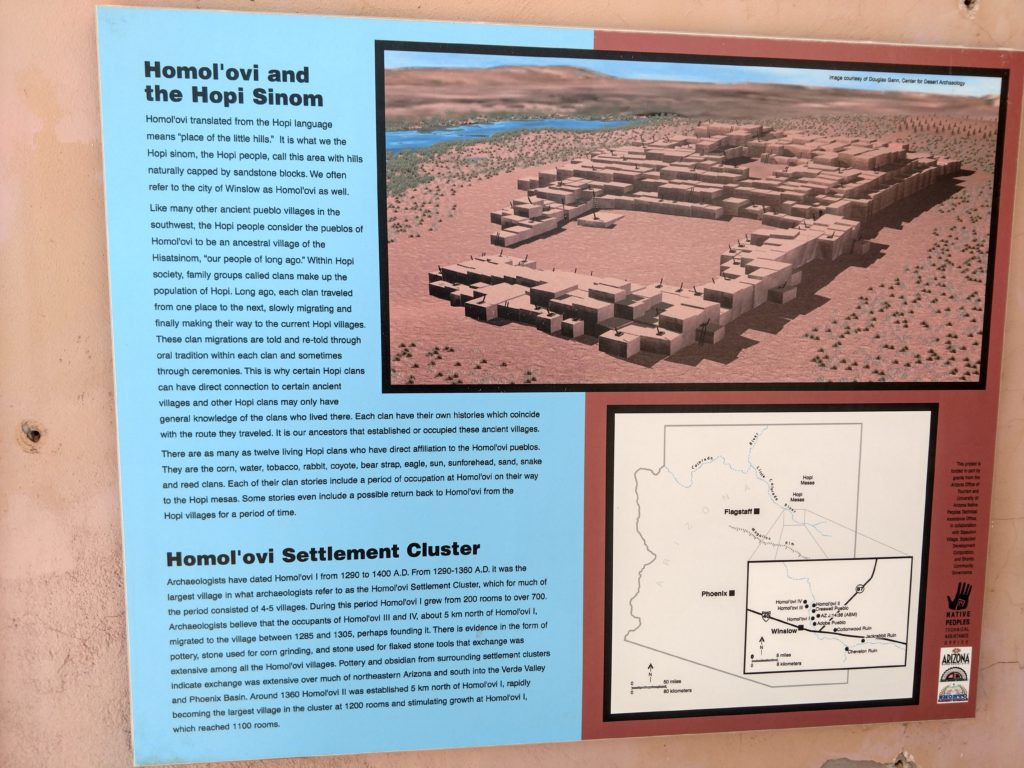
I am going to include the photos of the other plaques of information that are included inside the Pueblo shelter in the photo above, for your perusal. 😊
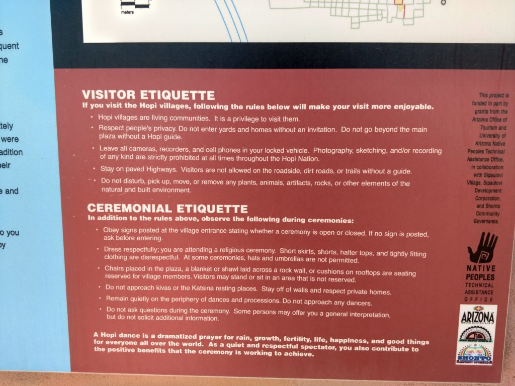
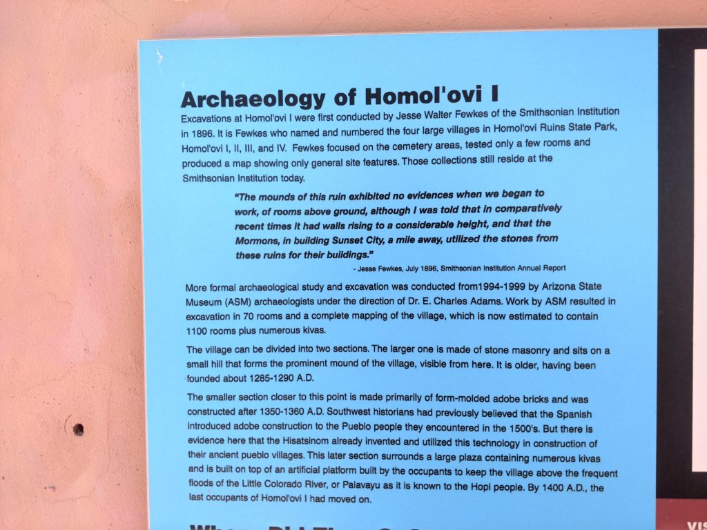
I have had the opportunity to visit a lot of ruins in the Southwest. What I have seen numerous times, is that after they have done their excavations and collected information, they rebury everything in order to preserve it for the future. They may leave a representative part of it available as in Homol’ovi II, and/ or build a replica near the site.
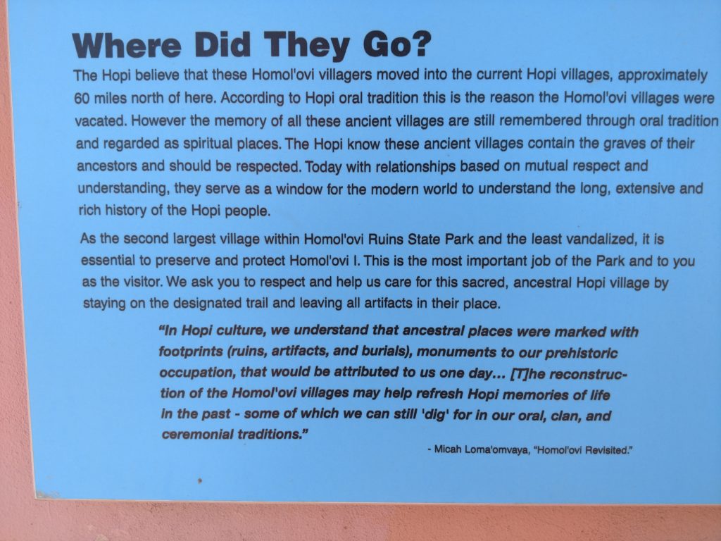
I have to say, it was really nice to be able to take my time and read everything that I wanted to and look at everything that I wanted to. That is the best thing about being retired and not on a schedule. I had the entire day. And I learned a lot.
There were some other visitors that came to Homol’ovi I just before I left. It sure was nice to have had it to myself and be able to think about what it was like 700 years ago.
Summary
This blog has taken me 3 days and many hours to write. It was like writing a report! 😂 There’s so much information and pictures to intertwine in this one, that have to be in the correct order to make sense. But I’m sure glad I did it because I would have forgotten why I took half of the pictures I did if I did not do this!! 😲 I hope it wasn’t too much and was not too boring!! 😬
There is more to share about the State Park , but I’m going to put that in another short blog. Remember how one of the plaques referred to the Mormon settlers using some of the blocks from Homol’ovi to build their city? We’re going to take a look at that more recent history next. Isn’t it amazing what this little area in the middle of nowhere has in its history ??!!
I hope you enjoyed it. 😊