CU-#4 – Homol’ovi State Park & the Mormons
April 16-25, 2022
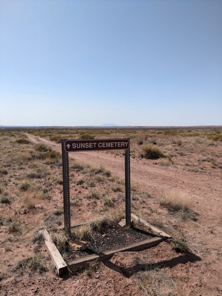
Near the Visitor Center’s parking lot, I saw a sign that said “cemetery “and an arrow pointing into the field by a path. I am always intrigued and interested in old-time cemeteries. So I ventured further to take a look at the first plaque and was surprised to discover that it was an early Mormon settlement cemetery!
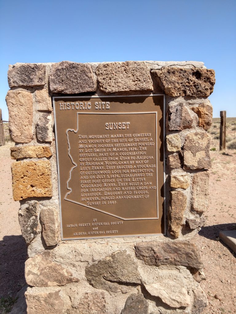
The introductory plaque
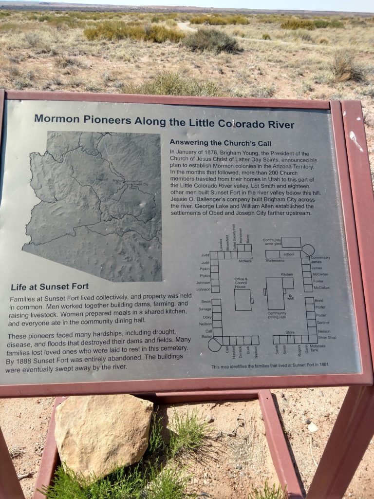
Three cities and a fort were built by the Little Colorado River at the end of this path. For 12 years they tried to make it work. But the environment and the river, were not friendly.
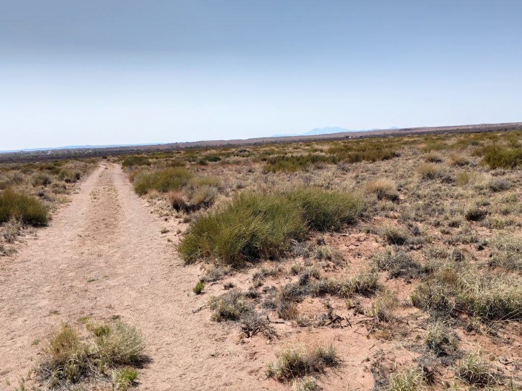
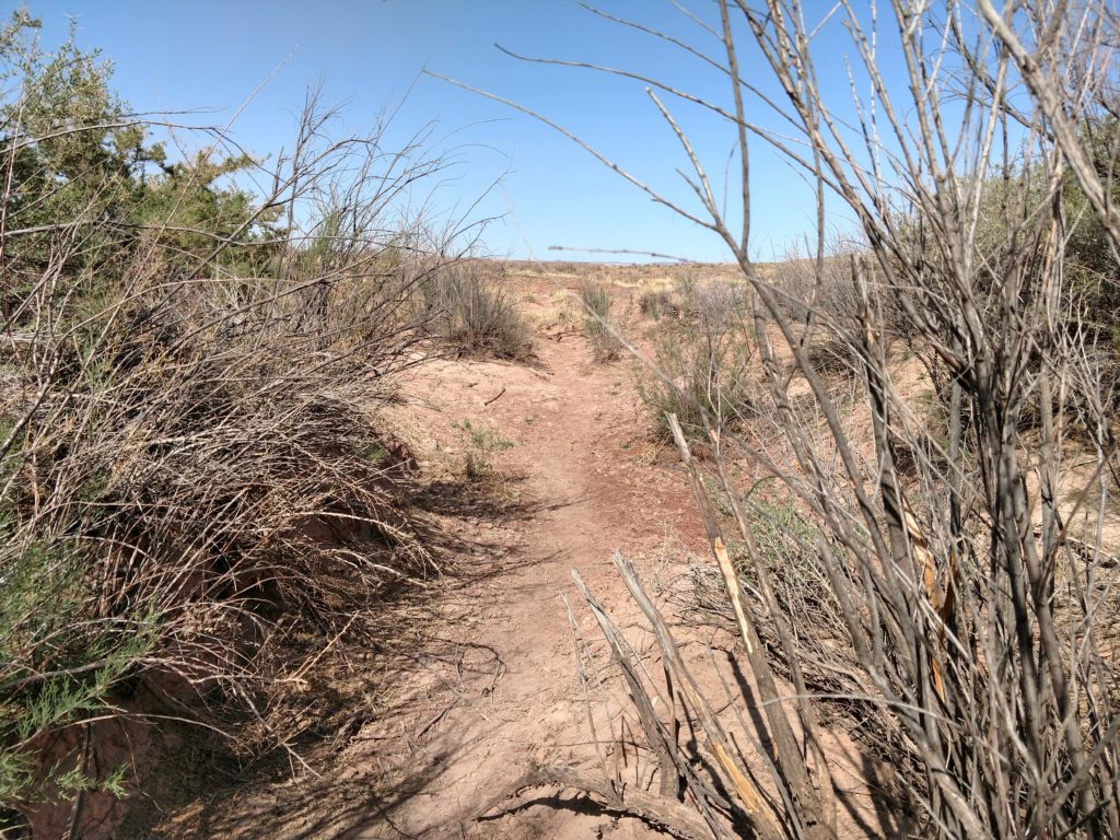
Doesn’t it looks a bit intimidating? Like I’m walking into the middle of nowhere? Which of course I am!! 😅
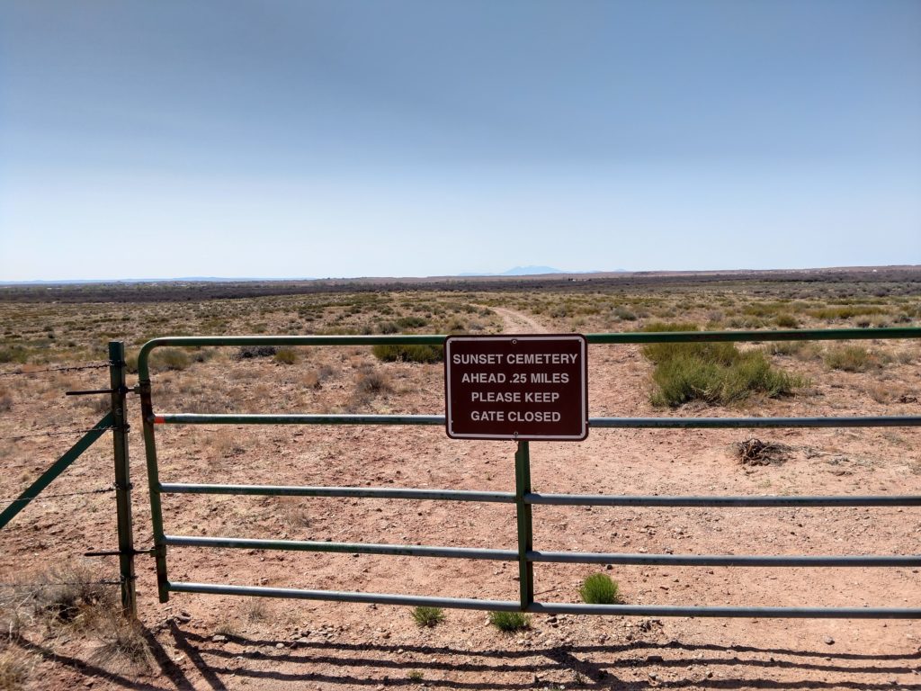
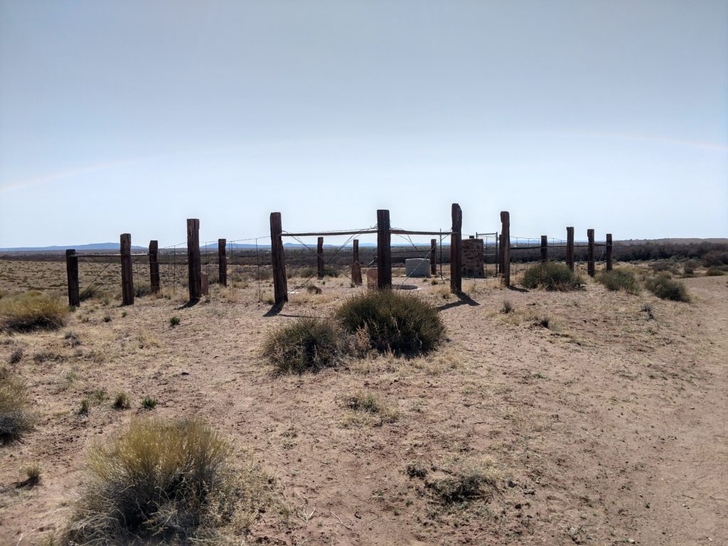
Finally the cemetery comes into view. I did not expect it to be fenced in. In retrospect it makes sense, as a way to preserve the site so it did not disappear from the landscape. And it keeps critters out.
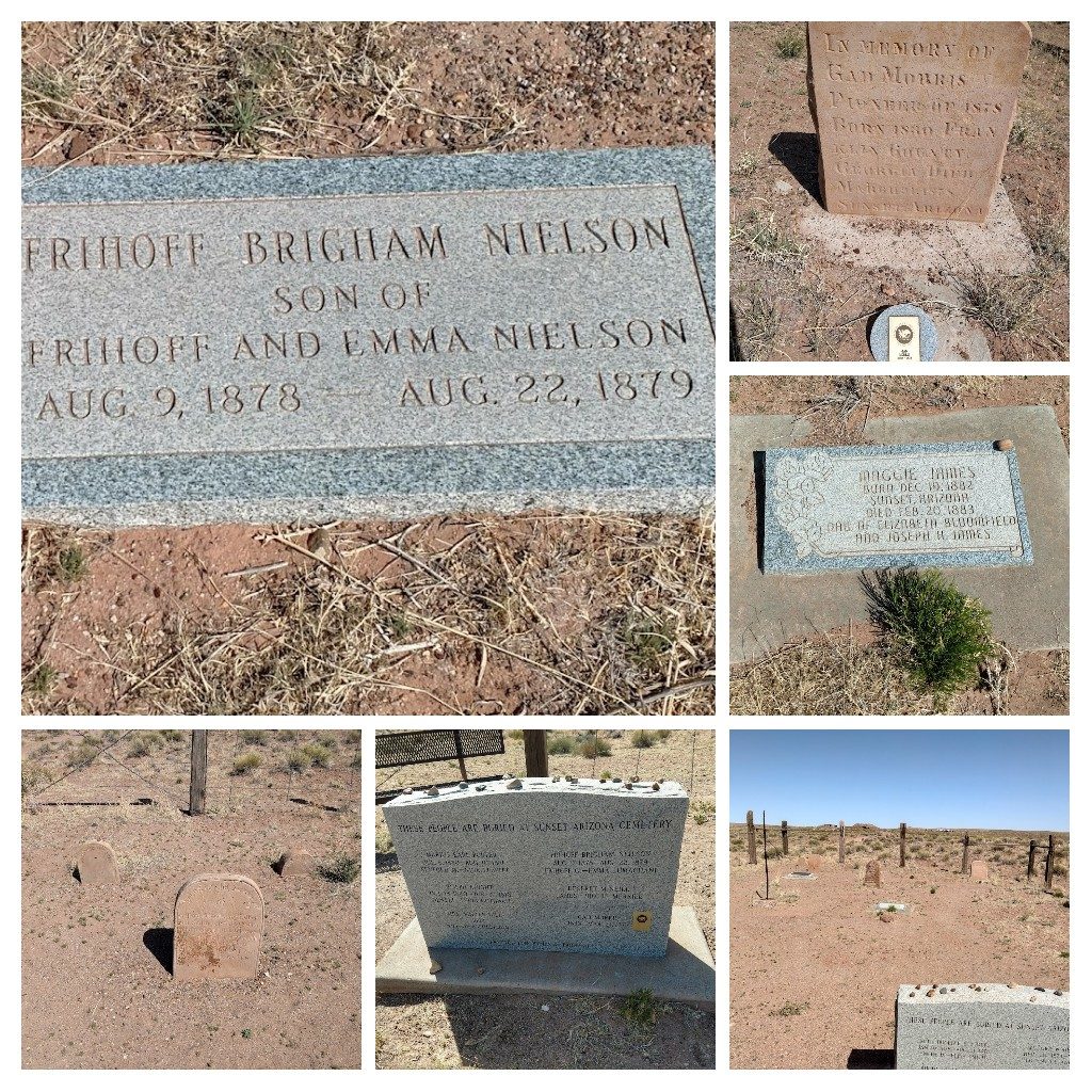
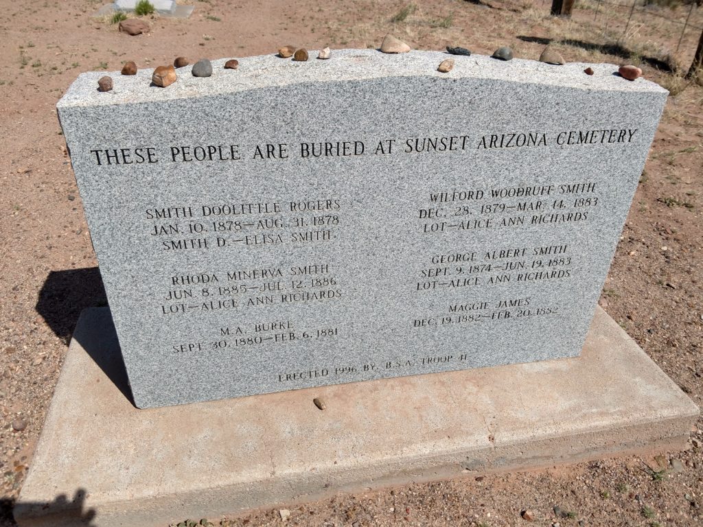
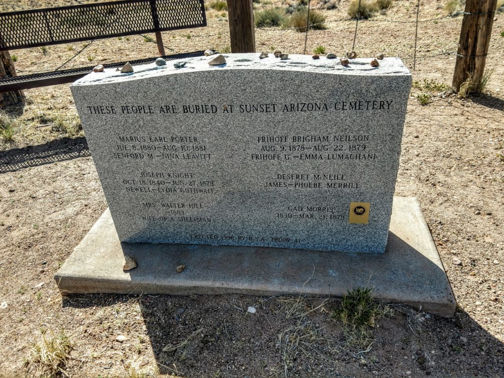
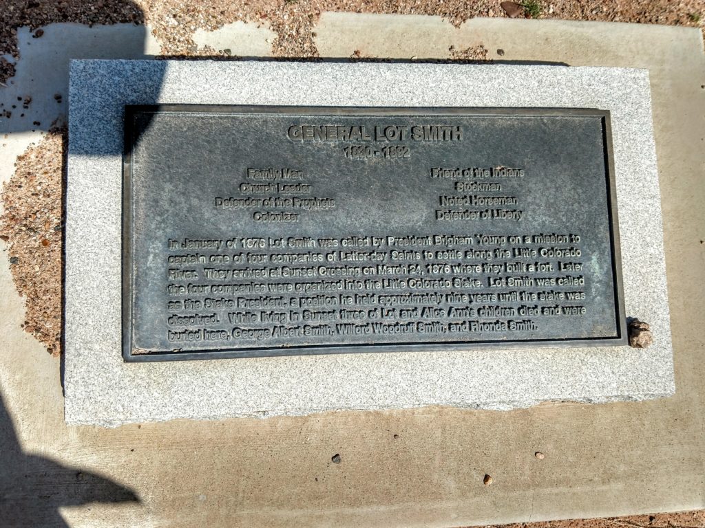
1883 was a bad year for the Lot Smith family, losing a four-year-old and an 8-year-old within 3 months of each other (in spring and summer) and a one-year-old in the summer of 1886. I can’t imagine. The others listed were not even 6 months old.
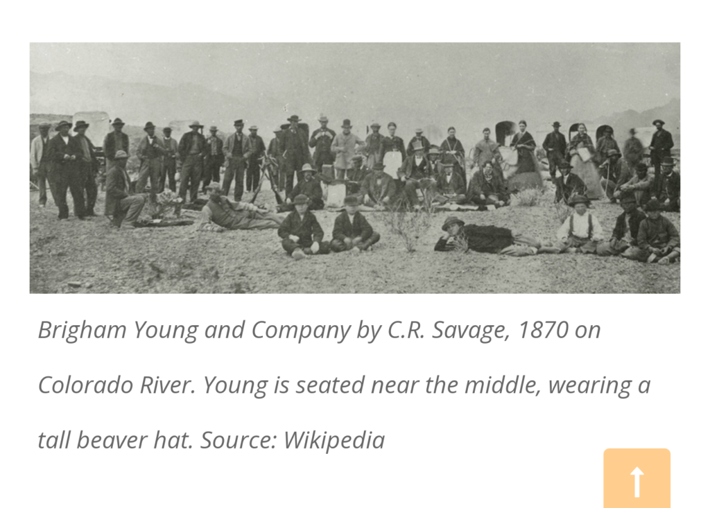
I was curious about the rest of the story…Such as what happened to everything once they disbanded. So looking online I came across this article which I thought was quite interesting and succinct. There is quite a bit online about this area as it was Brigham Young’s attempt to spread into Arizona in a big way
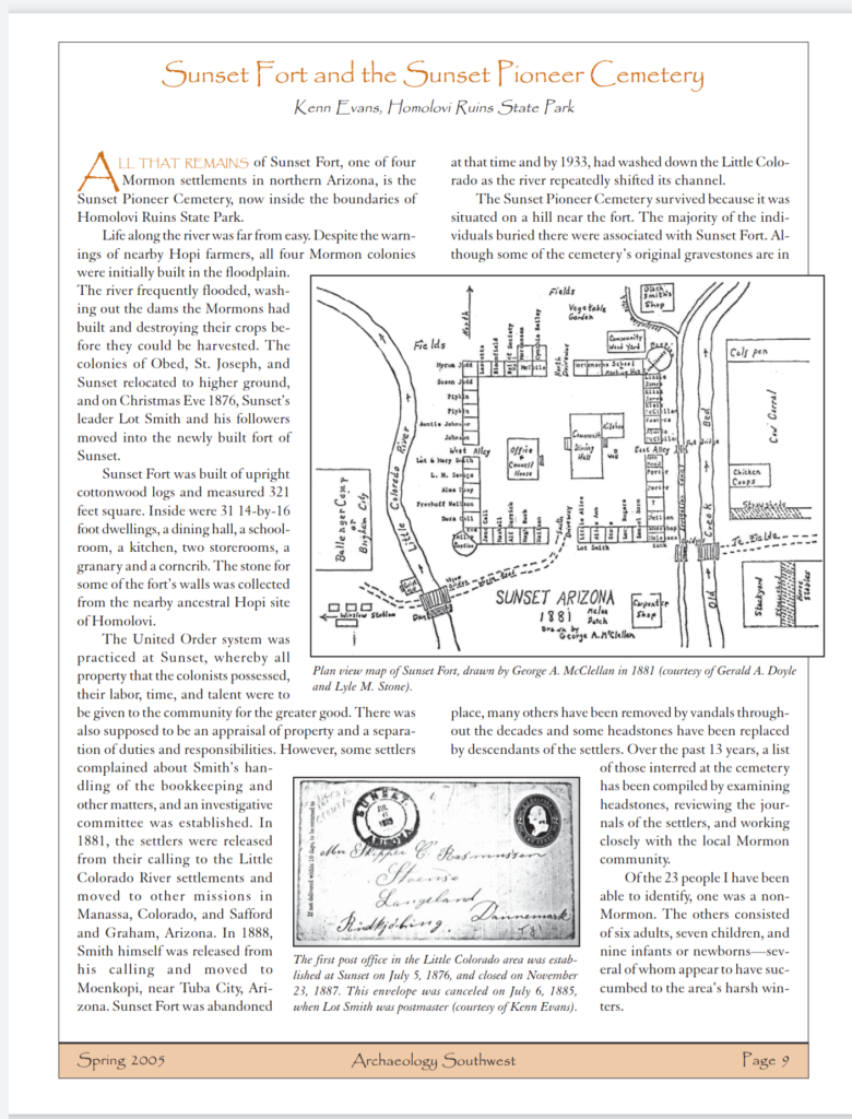
The the main reason the Sunset community was not successful was because it was built on a floodplain. The other communities that survived went to higher ground.
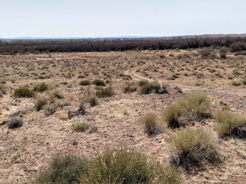
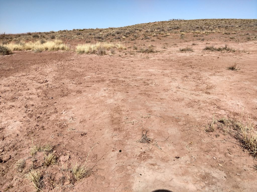
Looking toward the area where I assume the settlement had been, as there was no information or plaques delineating that information, I decided to see what else I could discover. Since that gravel road/path continued in that direction, that was encouraging.
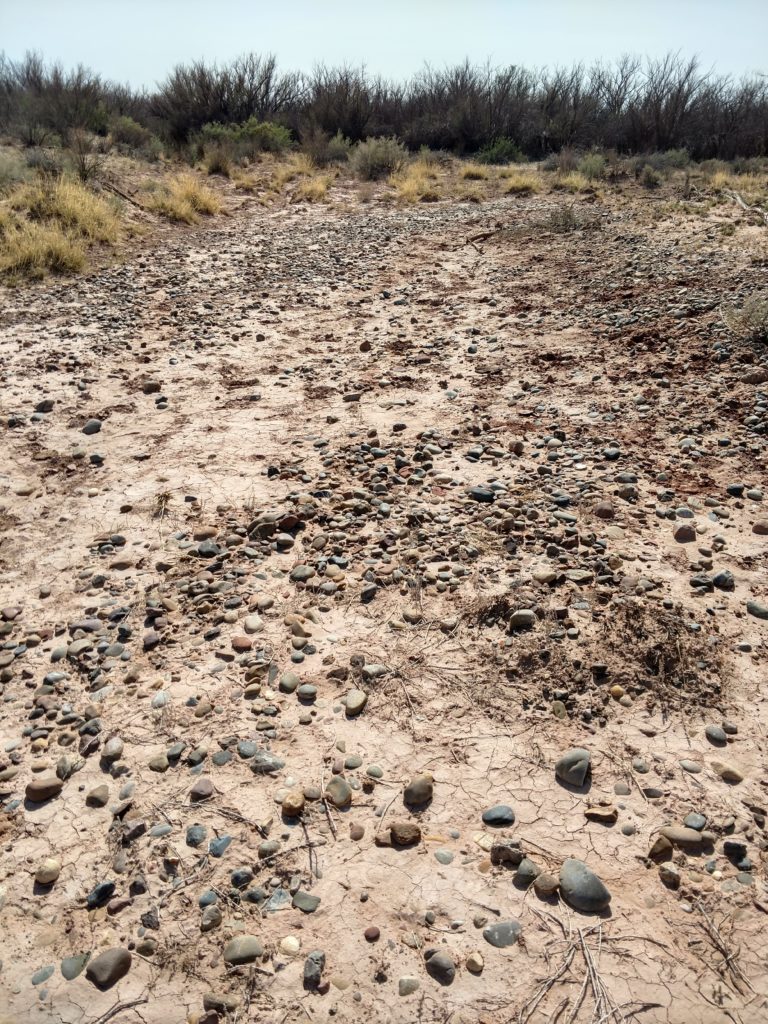
I walked further toward the green rows of bushes and trees as perhaps the river was trickling on the other side of that. Water definitely had to be present for that amount of growth.
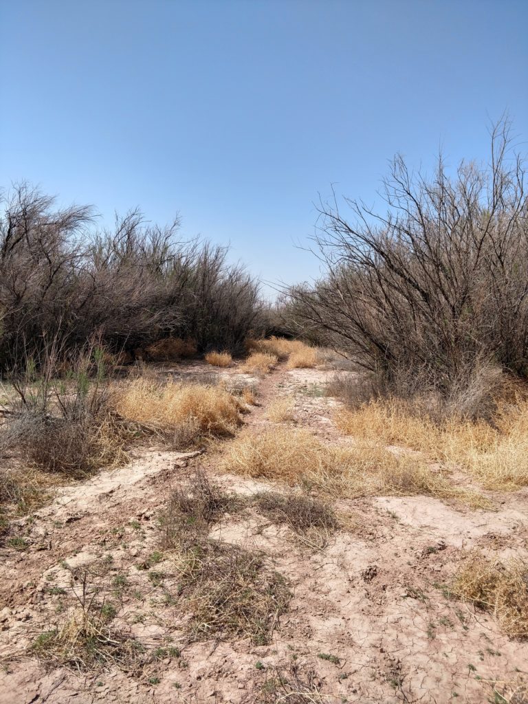
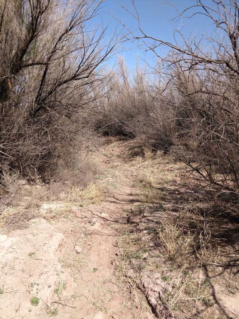
I looked around the area to see if there were any pieces of wood or stone left from the community. But it was swept clean. Apparently what was not swept away by the floods, was used by the other communities. I came across this picture of Brigham Young and his recruits. He and the scouts he employed made numerous trips to the Little Colorado River area to check out the feasibility of it being developed.
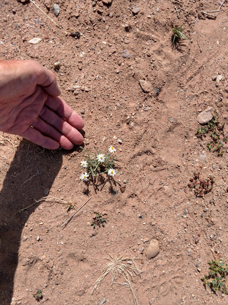
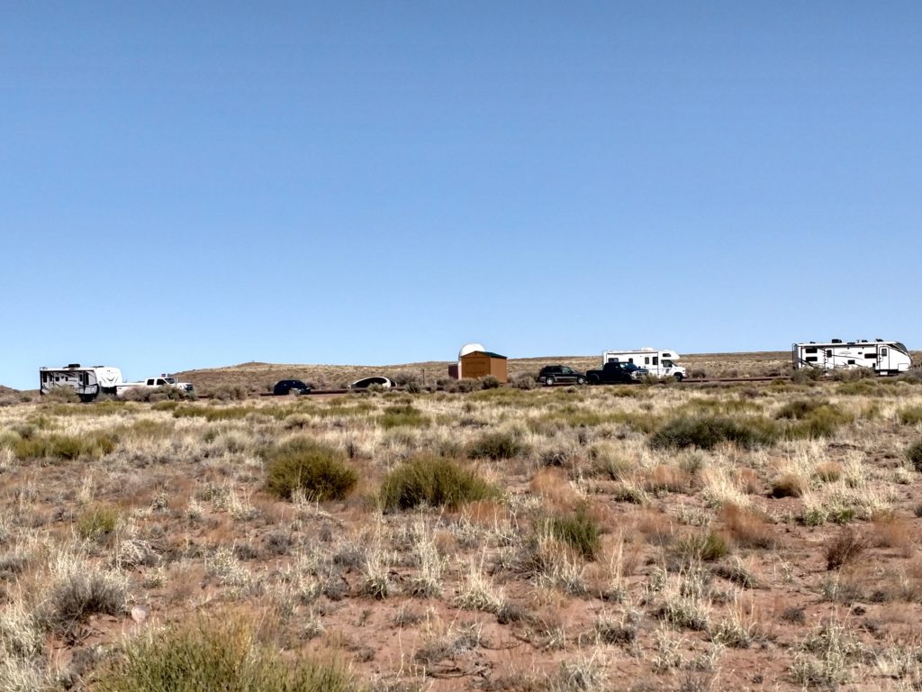
I realize that when I walk that far out into the desert on a trail and into history, it’s easy to put yourself back in time. And the walk back gives you time to readjust to the present. I did meet others that were walking out to the cemetery. But it was nice to be out there alone, in the quiet without a lot of chattering going on.
I hope you enjoyed this little hike through history. The next blog I will change gears completely as I will share my visit to the Meteor Crater. 🤗