Grand Isle, Louisianna
I began writing this shortly after I left Grand Isle and arrived at Chicot State Park. So I’m going to start with it just as written then, in October. Then I will add to it.
I am following along the news and photos coming out of Louisiana, following Hurricane Zeta. I am glad I decided to move way away, because of its unexpected strengthening. The cities along the coastal road just north of Grand Isle that I drove through on the way in and out, are Golden Meadow and Giuliana. On-line I saw medium-sized fishing boats were floating across the highway in Golden Meadow and an RV was overturned at a truck stop in Giuliana. These were places mentioned to me that RVers often go to when storms are threatening. Definitely not far enough for the one.
I am still waiting to find out what the status of Fontainbleu State Park is. It is on the north side of Lake Pontechtrain and I have reservations there for a week, starting November 1st, but it likely got hit pretty hard. I don’t want to cancel if I don’t have to. The change of heart, is because the weather has changed noticeably! The humidity is MUCH lower and the temperature is in the 50s and 60s. Beautiful day today! (29th) So, while I wait, let me tell you about Grand Isle.
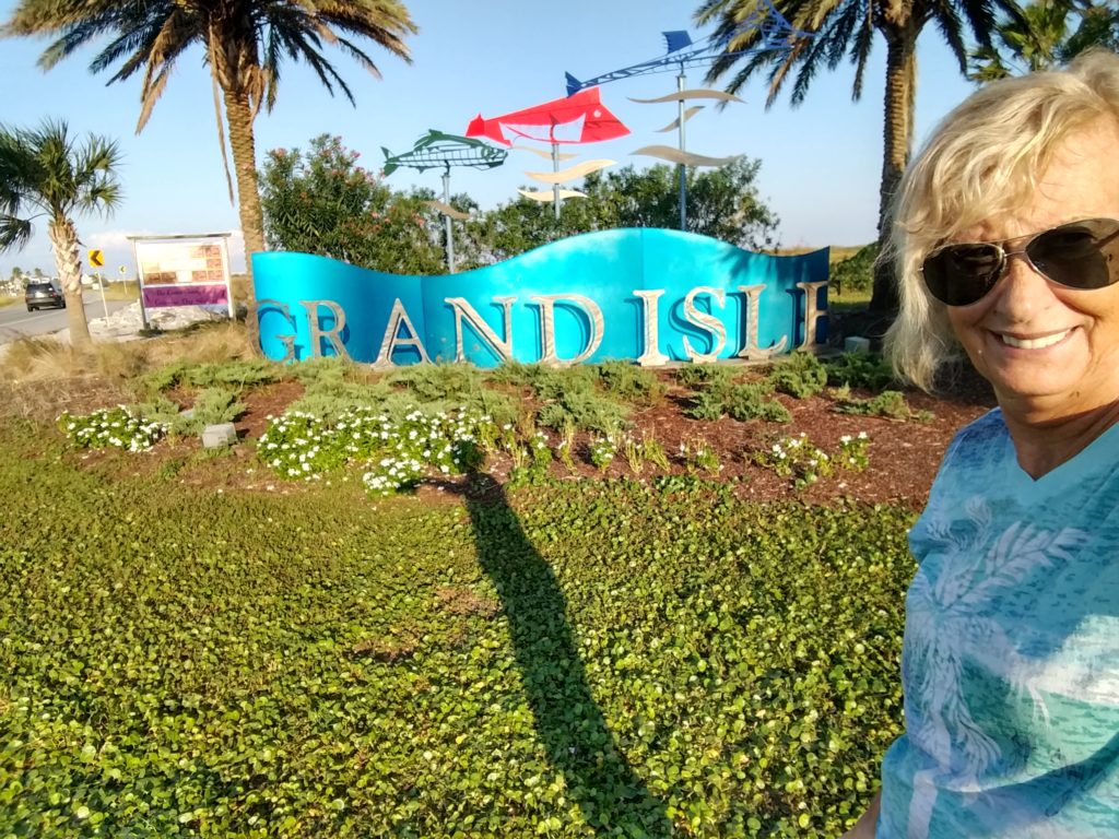
Grand Isle, Louisiana – a little history
Since I am safely ensconced near Ville Platte, Louisiana, I would like to go back to share information and experiences at Grand Isle! It is a pretty unique place. Starting with access. Like most islands, the only way to access it, is over a toll bridge named “the Gateway to the Gulf Expressway”. It is 8 miles long, and one of the longest bridges in the world. (trivia!!) It’s on HWY 1 which begins in Grand Isle. (The bridges down here are really something.) This is the last bridge that links the last piece of land with Grand Isle.
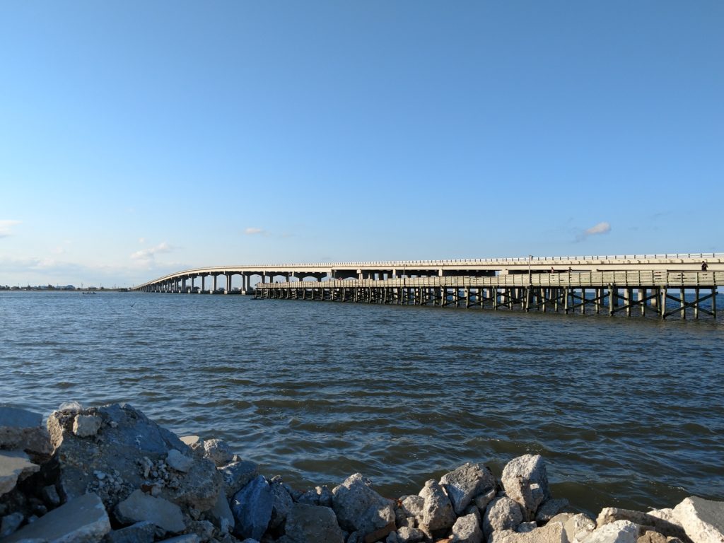
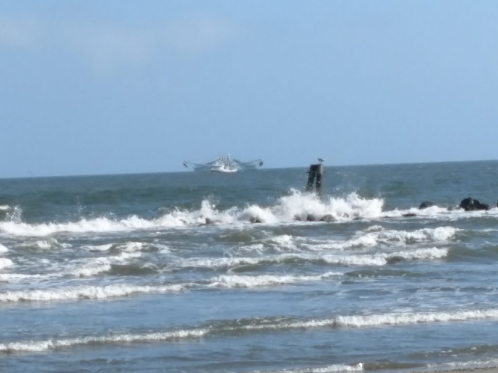
GI is also a barrier island, so it helps protect the coast, and it is not very big. It is 8 miles long and 1 mile wide. It’s year round population was 1,461 in 2018. But in the summer, it’s population goes up to 20,000 people! I cannot imagine!! It’s a resort area, and nearly all the houses, motels, cabins, marinas and most restaurants are up on stilts. This is a huge fishing area. That is primarily why people come here. The ones that live here full time work at the various businesses on the island, fish as a livelihood, or work for the oil companies.
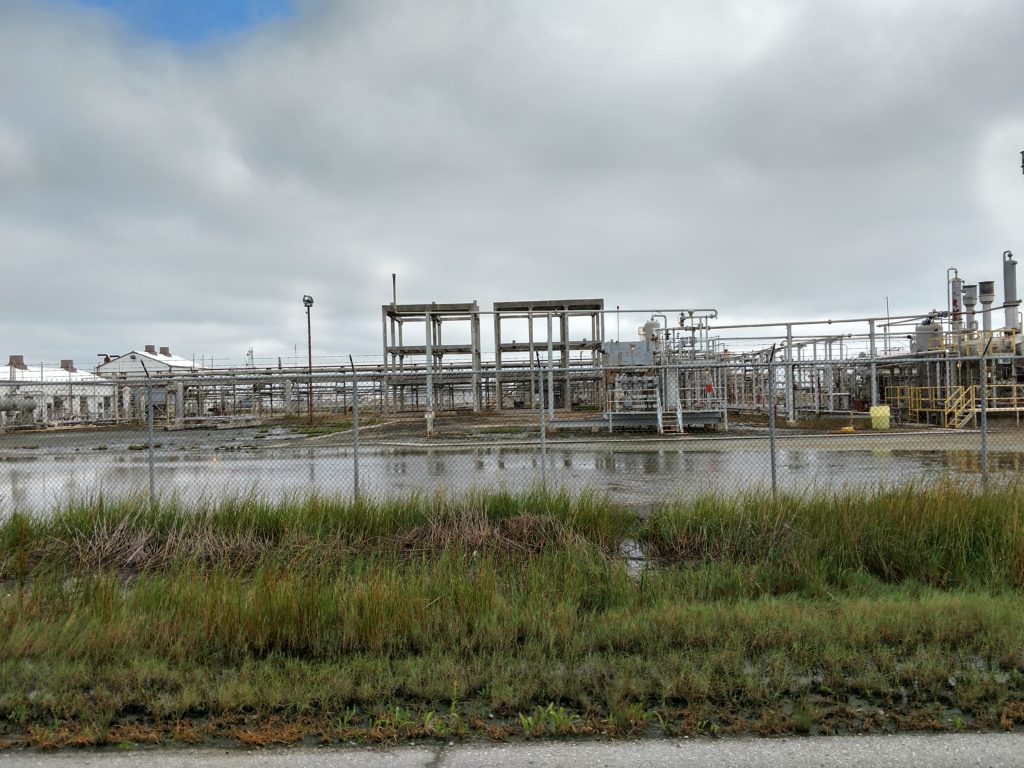
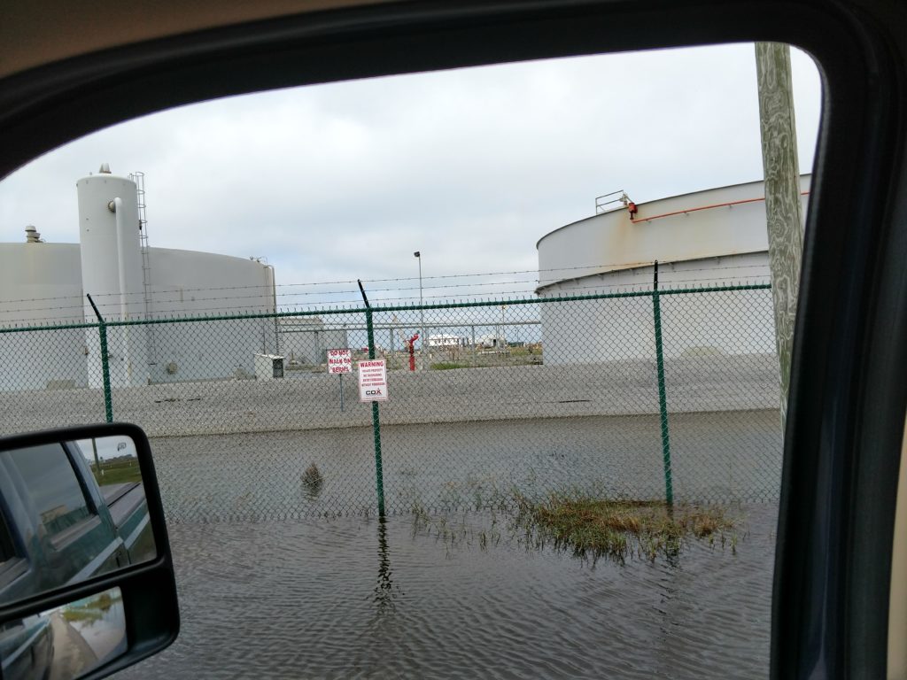
The diversity on the island is something else. On the North side of the island, it is all oil storage tanks, and energy companies as well as an airport. {There are numerous, daily helicopter flights out to the numerous off-shore oil rigs that are visible on the horizon. } Near this area are also large boat launches with marinas and motels or fishing cabins. This is the side that faces the mainland, so I suppose it is more protected.
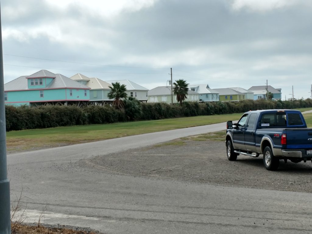
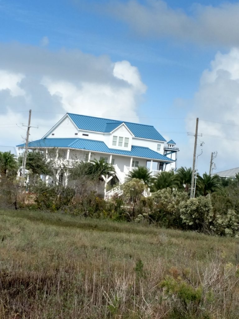
The Coast Guard has it’s headquarters and various buildings on the south end of the island, past the State Park. The area lining this road between the north and south sides of the island also has the biggest homes/resort/condos on the island. Some are gated communities, with their own marina, others are just beautiful places along the road. There are also some like this that are located on the northwest part of the island.
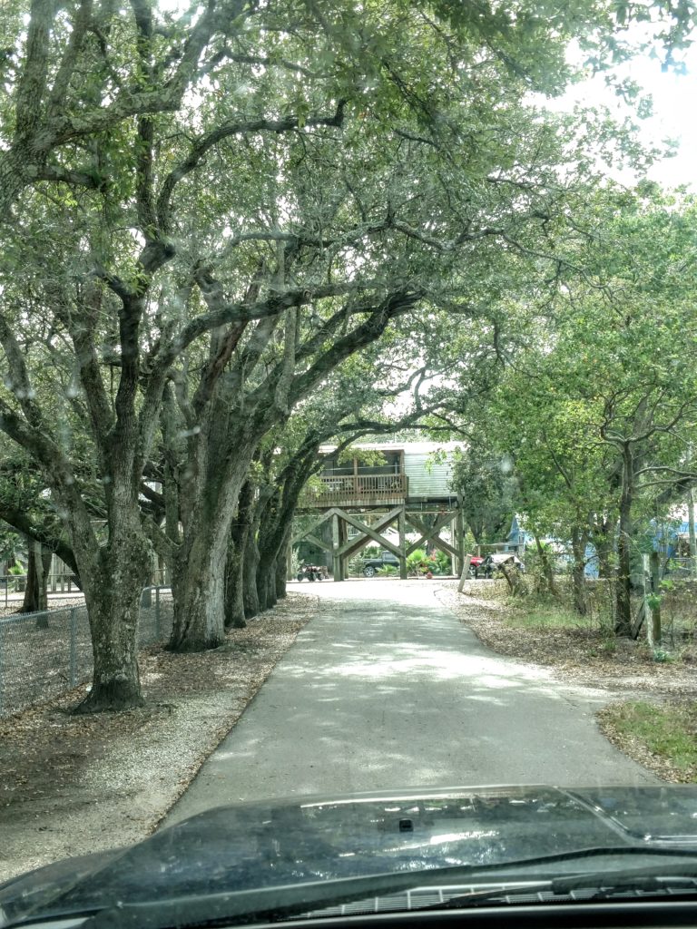
And like any resort city, (I think of Green Lake, or Waupaca or Minocqua ) it has some of it’s resident population in nice but smaller homes, also on stilts, in the older parts of the city. They are on extremely narrow roads, with beautiful trees overhanging them.
Grand Isle has been wiped off the island numerous times in the past 100 years by hurricanes. But after Katrina wiped it away, new building codes were mandated. Everything has to be able to weather the winds and water. Apparently the surge does not come onto the island from the ocean side. Perhaps because it has at least 600’ of grass and woodlands as well as a berm protecting it. Instead I was told the flooding comes from the north side and sometimes they have 3-4 ft. of standing water below their homes when they return. I could see that happening!
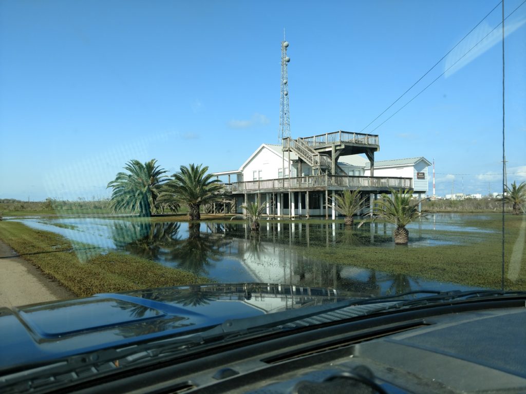
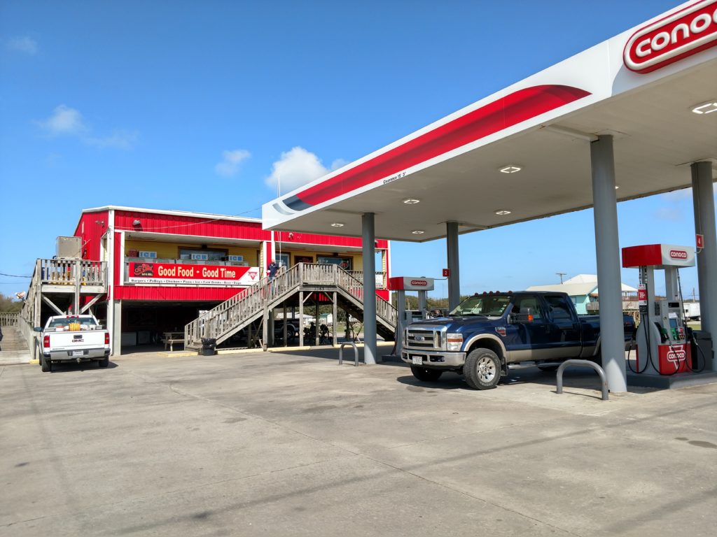
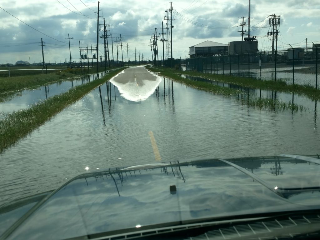
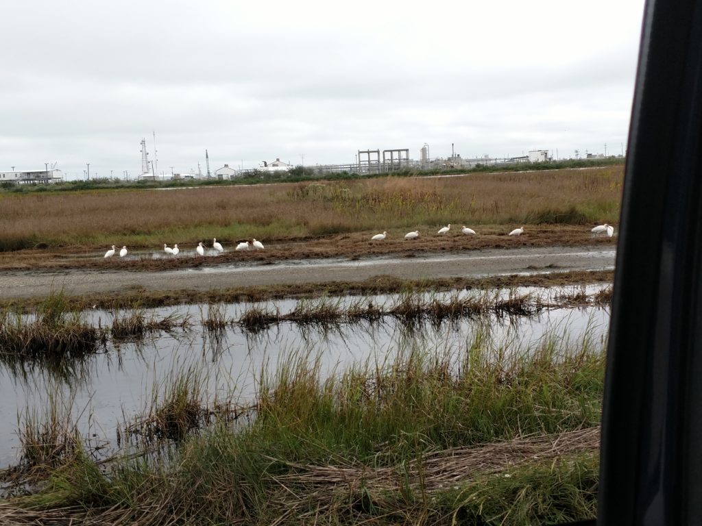
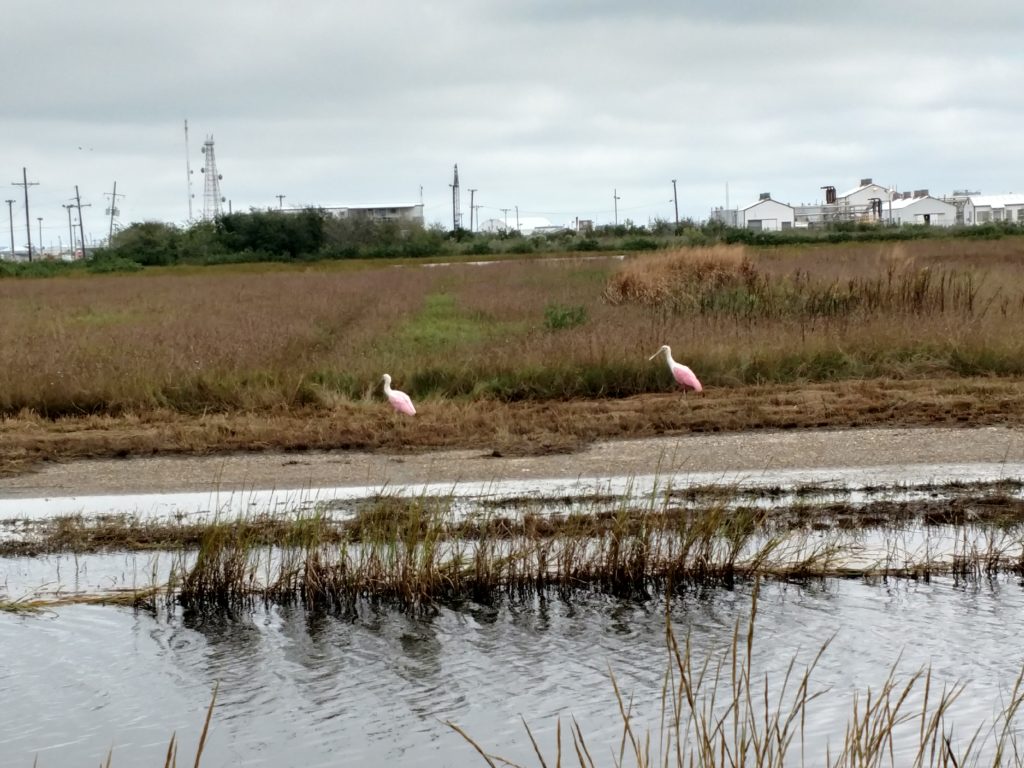
This island has water everywhere. Most of the interior land between the roads is a grassland-marsh combination. Water over the roads is common after a rainfall and high tide. ( which I experienced)
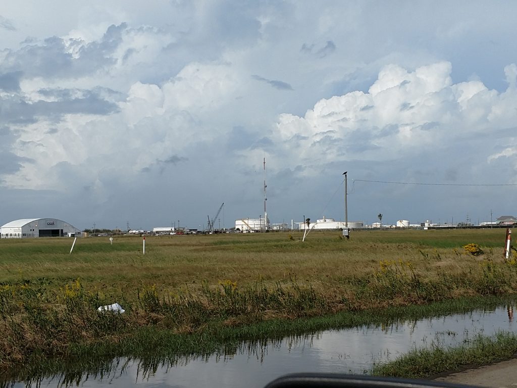
Because of the water and marshland, there are shore and marsh birds everywhere! They were as common as robins. And they are so big and mostly white! It was marvelous. I drove around everyday to see what I could find. I have plenty of pictures, but I will include just a few.
Whew! That was a lot. I hope it gives you some sense of how the island is made up.
Next posting will be the Ocean and Park, piers, Hermit crabs, sand crabs and jelly fish! Fun stuff