Lake Pleasant
Part # 2
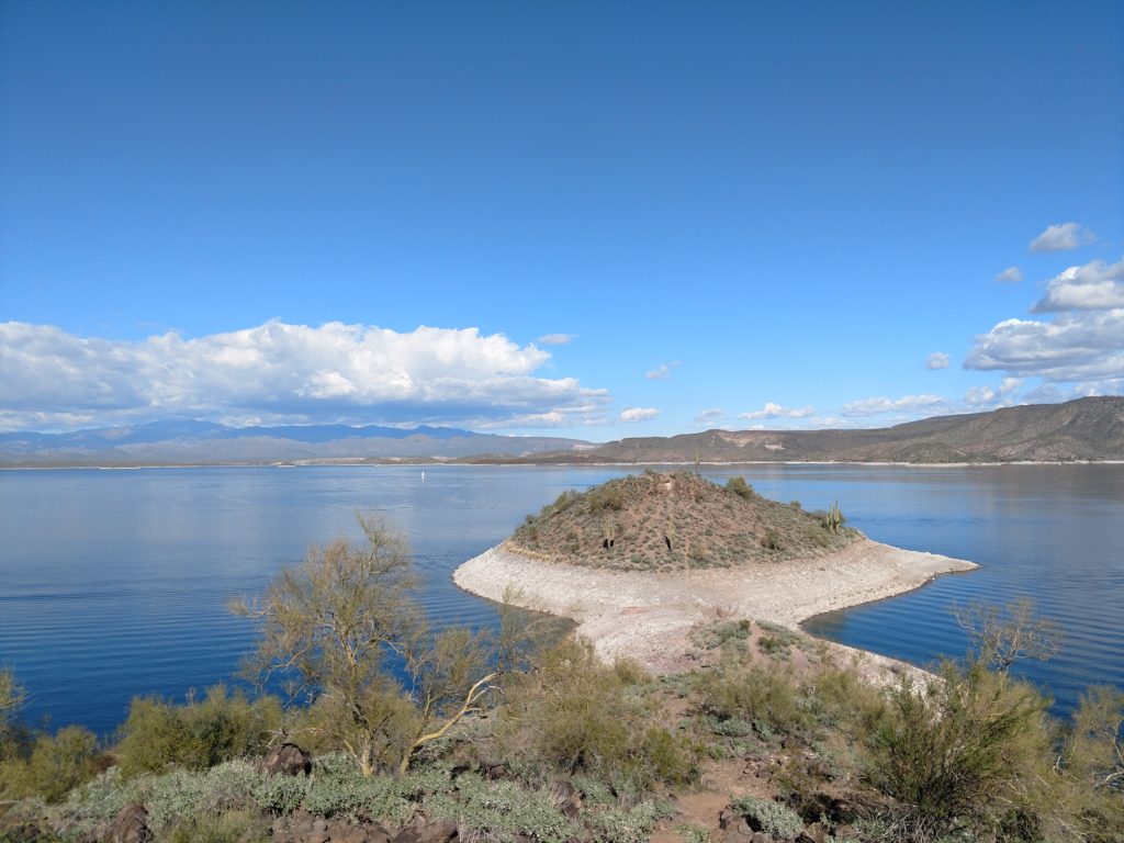
Hiking the Island Peninsula
This unique hill at the end of this peninsula becomes an island when the reservoir starts to fill up. You are only able to hike out there in the winter when they have the reservoir drawn down. I have hiked out to and around the bottom of the island in the past. It is all covered with sharp edged large stones so you need your hiking boots. But I never went to the top. So this time I decided I was going to make that my goal. So come on along with me as we explore the trail to the peninsula and the top of the island.
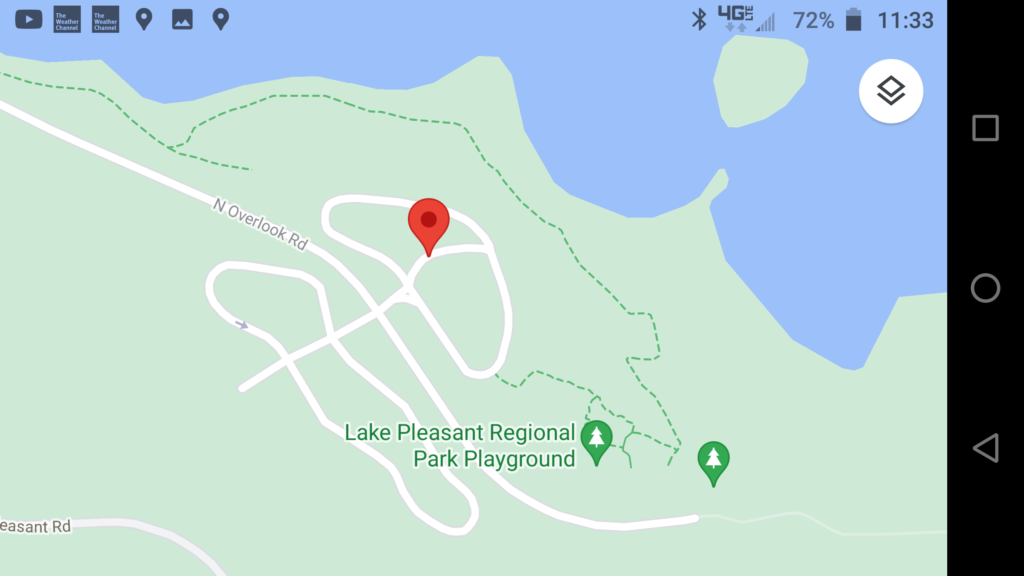
It is a short walk from my camping area, through the RV sites to the trail next to the lake.
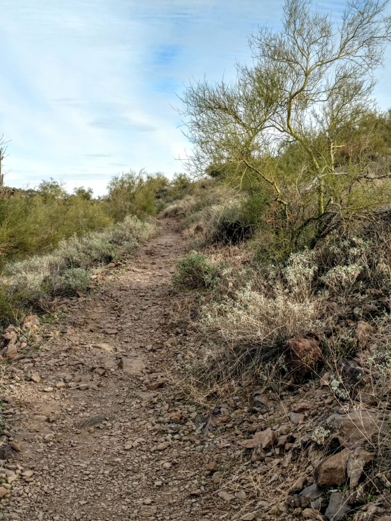
The trail traverses the side of the hill between the lake and the campground. It meanders from The Visitor’s Center for about three quarters of a mile to the first Day Use area. The first part of it is handicap accessible and very nice. And then it becomes quite rustic.
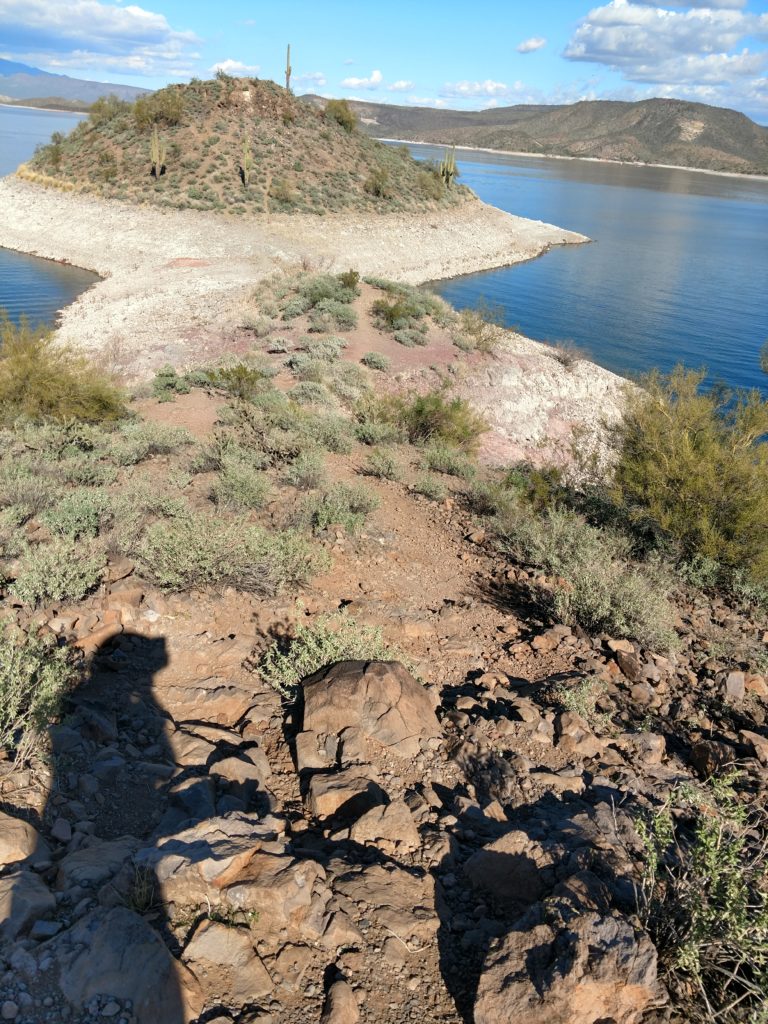
Here I am at the top of a “wash” that works as part of the trail. It’s really not a park trail, but rather a trail hundreds of camper’s boots made! So, I start my way carefully down as it’s easy to slide on the scree ( gravel like stones ) and trip on the big stones. Not like when I was younger and I would half run down a hill like this!!
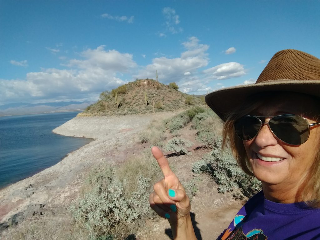
Here I am down on the peninsula strip. It is still quite elevated above the water. You can go down the sides to the water line, but again you have a lot of stones and scree to maneuver through. I will stay on the crest and maneuver through the brush and the large stones and watch out for any little critters or snakes. It’s hard to even see lizards because they take off right away. But I do not want to surprise a snake. I want to see one! But I don’t want to surprise one. 😬. ( Spoiler : never saw any snakes the whole time I was there ☹️ )
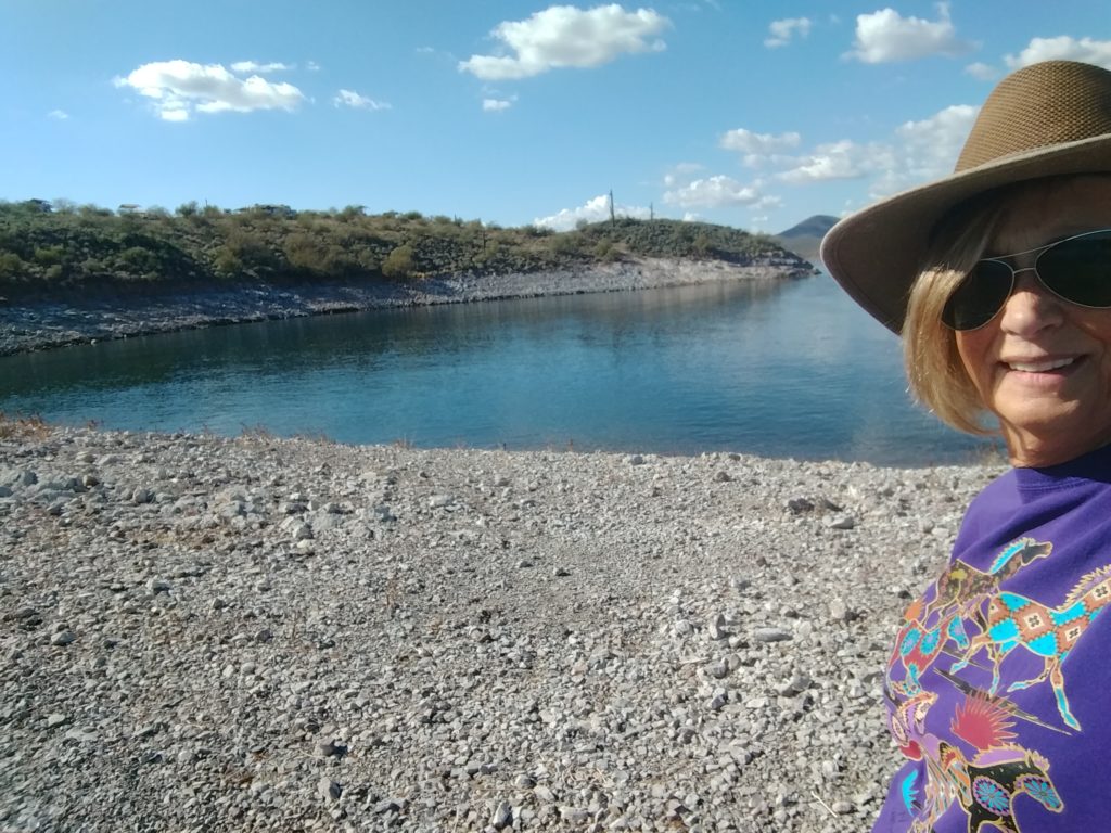
Walking along the peninsula, with a view to the side and back toward shore.
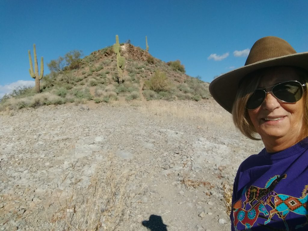
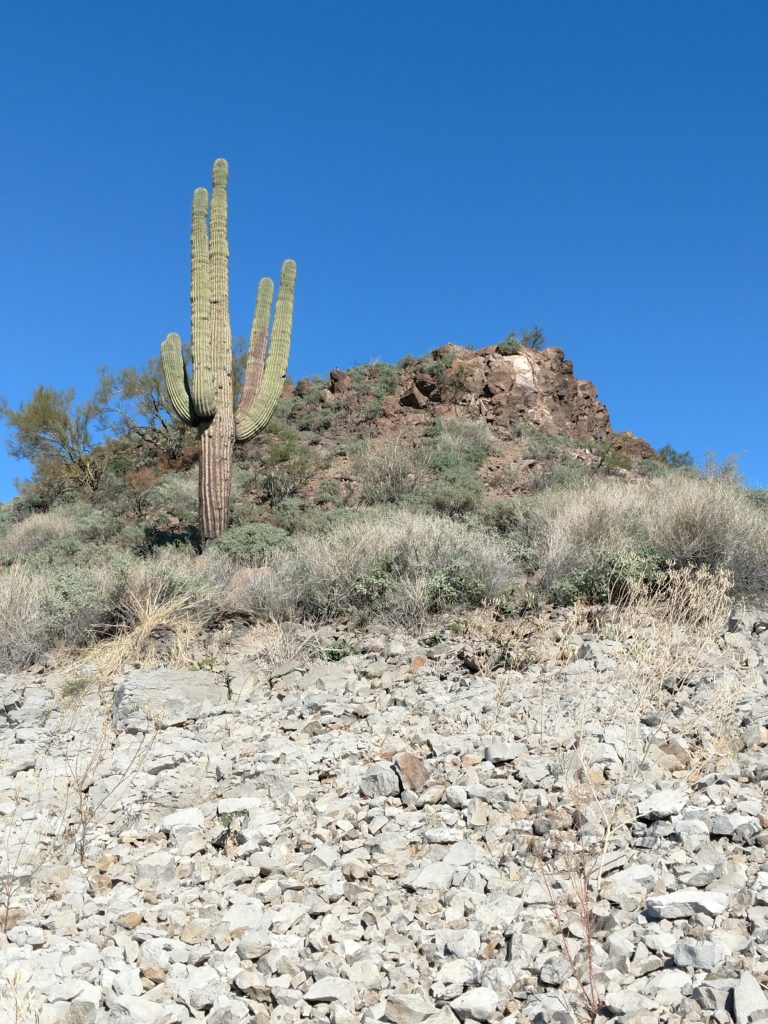
I was able to find the trail to the top. It starts out clearly, but gets harder the higher you go. It becomes a scramble near the top anyway.
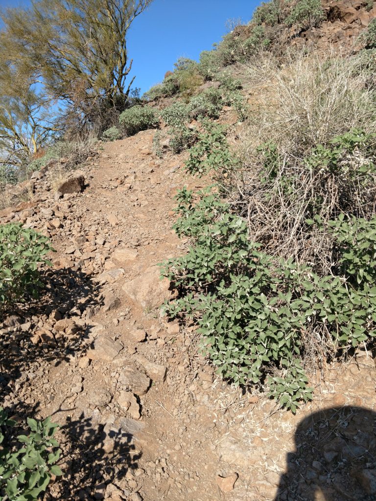
Getting quite steep. Glad I had my hiking boots. The grip they have is surprising.👍 Eyeing up that little tree for help…
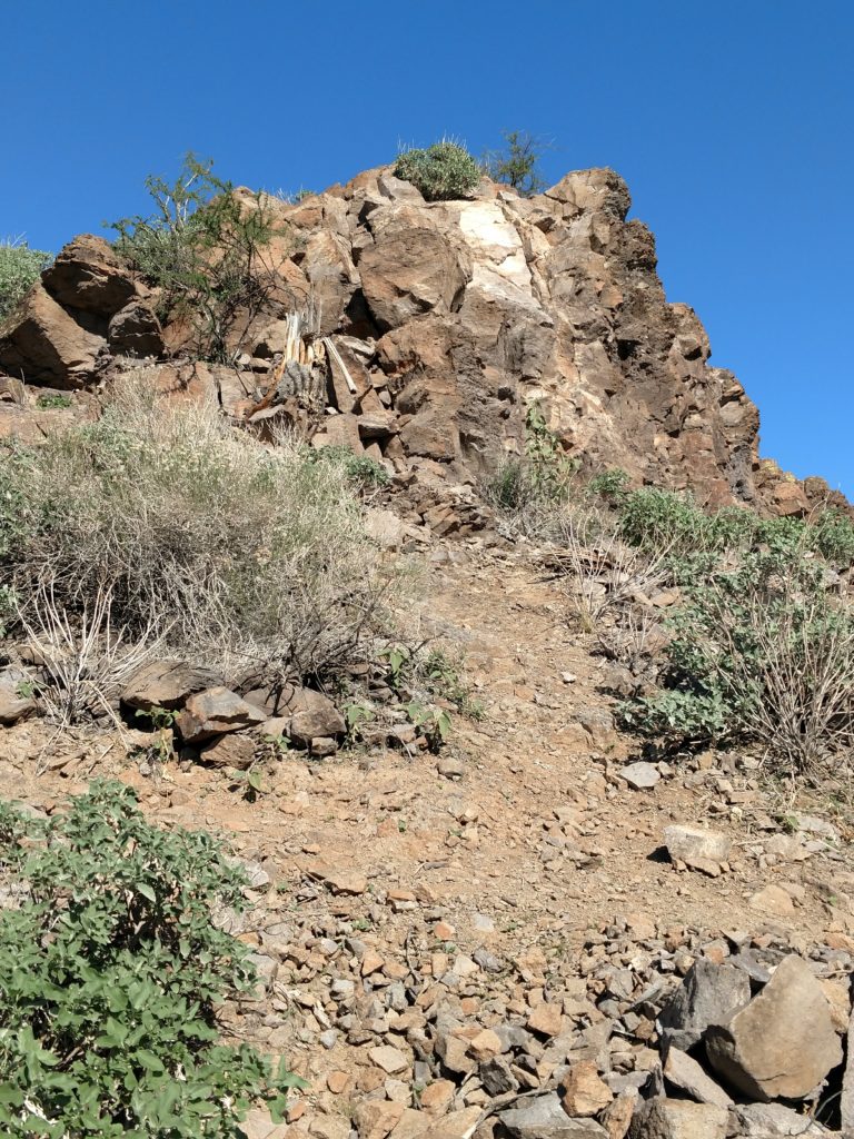
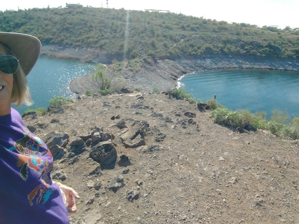
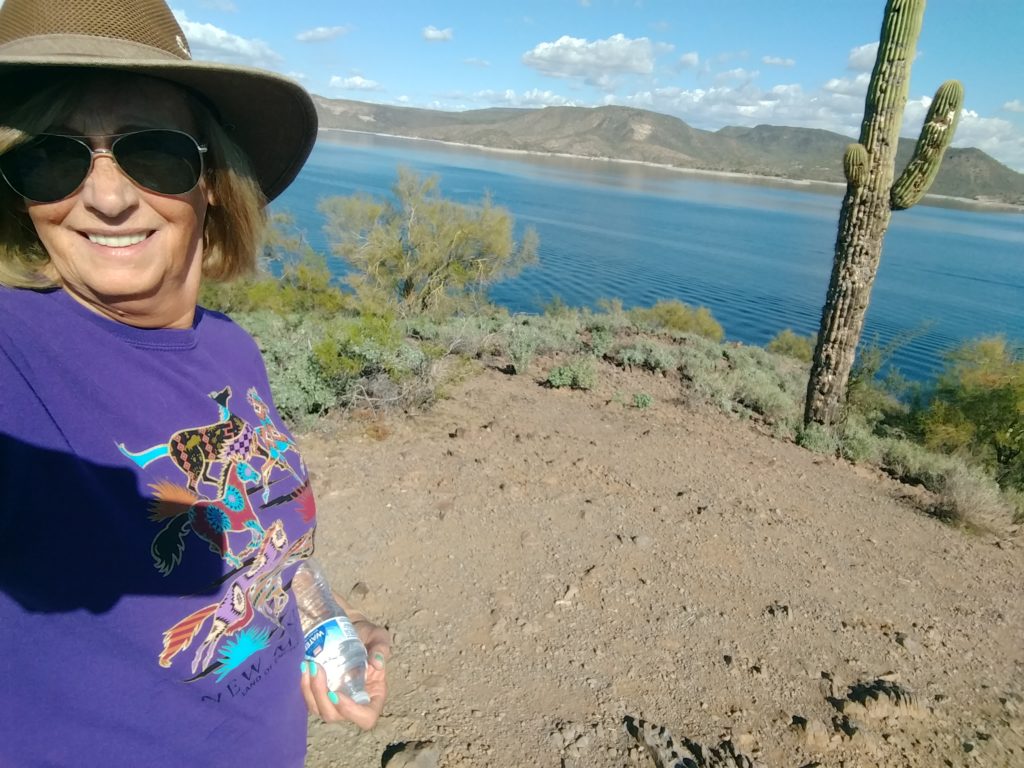
It was way easier, although steep, to get to the top than I thought it would be! I was also surprised what it looked like on top. It was flat and all dust and small stone. No stones even big enough to sit on except those way on the side. It would be a perfect place to bring a backpacking chair and a book and to sit up there and read. What a view. And quiet.
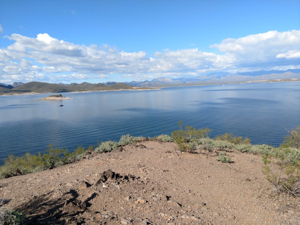
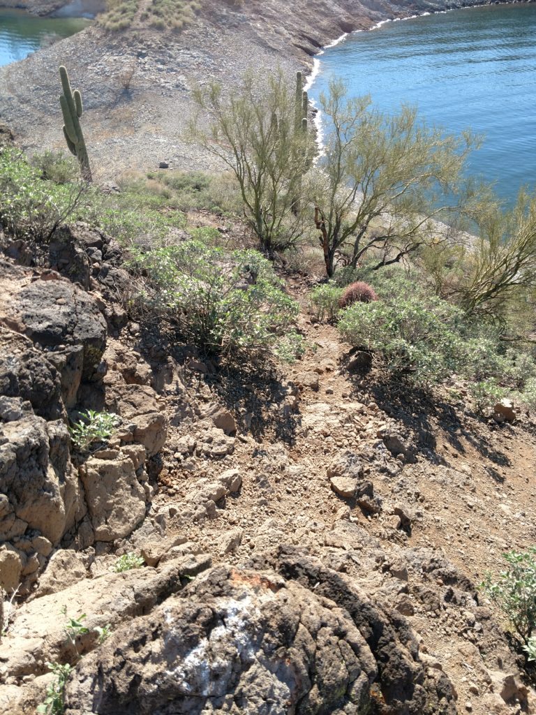
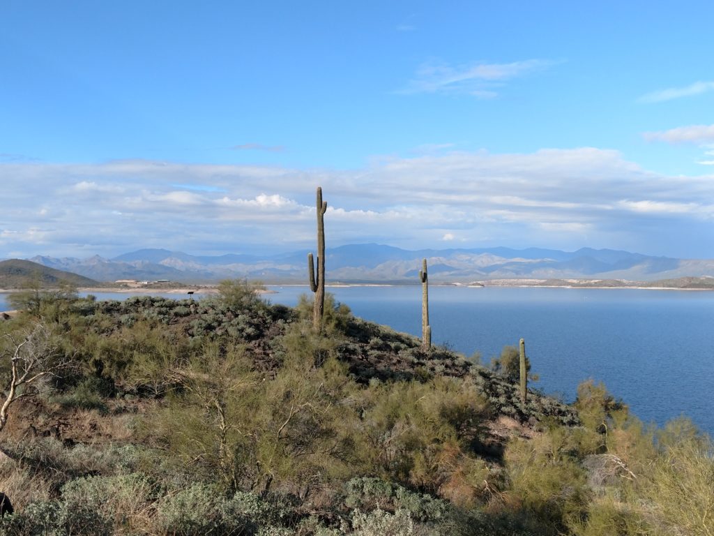
Thanks for joining me on a short hike. 🙂 👍
Differences in water level January 2020 – November 2019
It’s surprising how the lake level changes depending what month of the year that you visit Lake Pleasant. I don’t think any of the man-damned lake reservoirs that we have in Wisconsin vary anywhere near this with lake level. Since the first time I camped here in November of 2019, I’ve also seen huge changes in where camping is allowed. Most were implemented this year. I’ve been scanning through pictures from 2019 to illustrate the changes. Take a look.
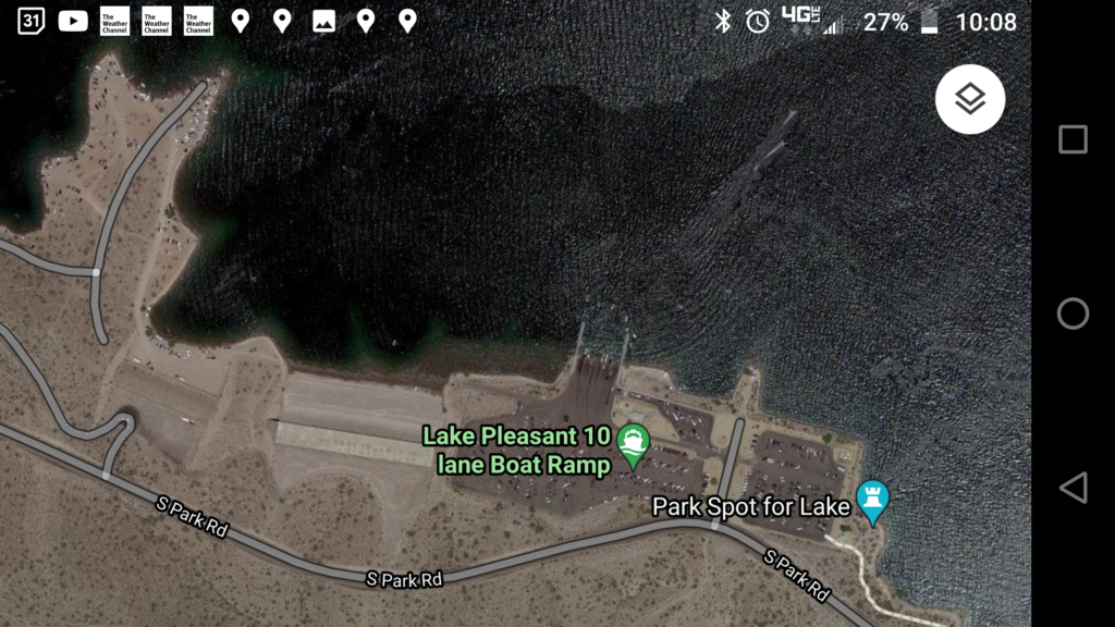
The Roadrunner Campground is out of this photo to the right. The area that used to allow camping and where I camped in 2019, is to the left of the 10 Lane boat launch. The lake appears full in this photo as the water covers spears of land that jut into the lake that are also driven and overnight camped on.
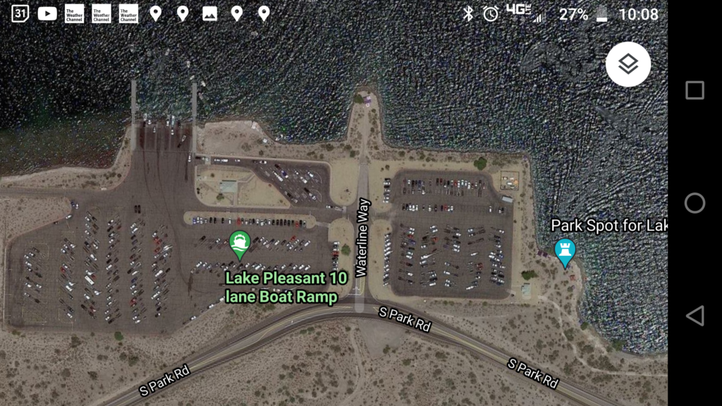
To get to the camping area where I was in 2019, you would take Waterline Way, turn left and cross the parking lot of the boat launch. You would then drive down a steep, narrow and short road onto a flat area with a cement wall behind it.
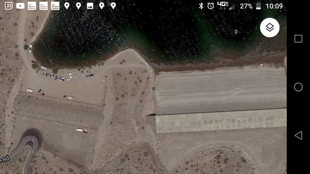
This satellite photo shows the wide, flat area that allows parking and camping center and right. It is all paved. You can even see all the vehicles in this photo. If you keep looking left, all the vehicles you see there are camped on sandy hills …wherever they can find a level spot.
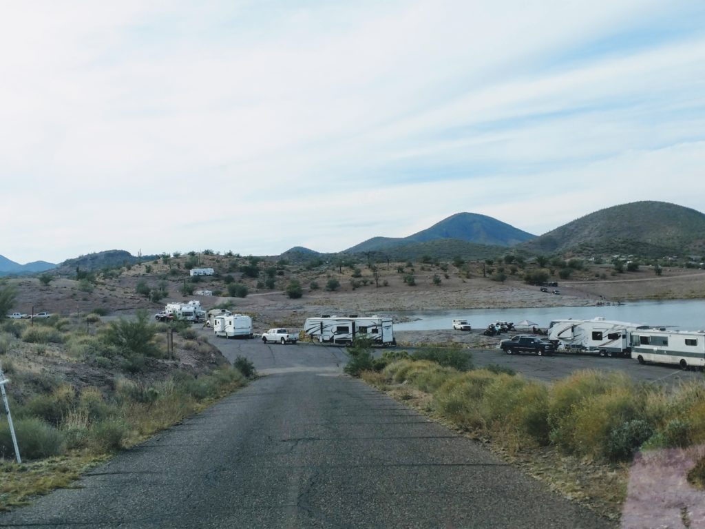
This is the road from the boat launch down to the paved parking/camping area. This is all the RVers dispersed/dry camping. There is a $15 per day entrance/camping fee.
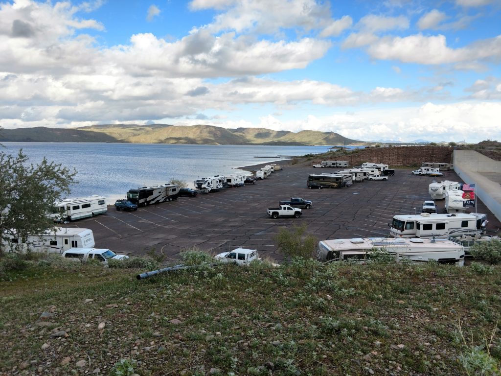
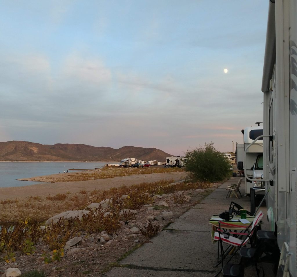
This is right next to my RV. I was at the head of the line. Behind me were all the RVs stretched way down onto another section. In front of me ( to my back in this photo ) was the dirt road that went up to the dispersed camping that took place wherever you wanted to go and could find a flat place.
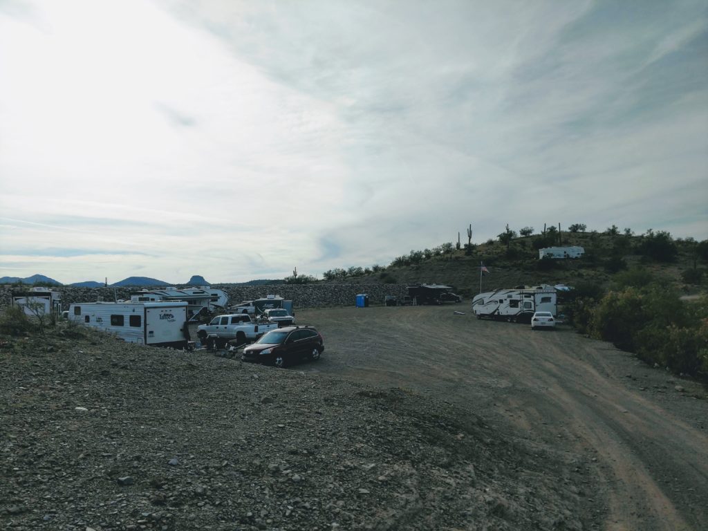
This is the area. As you can see, some came as groups to camp together. Most just grabbed a good spot or their favorite spot. It was usually like this over weekends. The drive up is pretty steep. I took that overview picture from up the hill to the left.
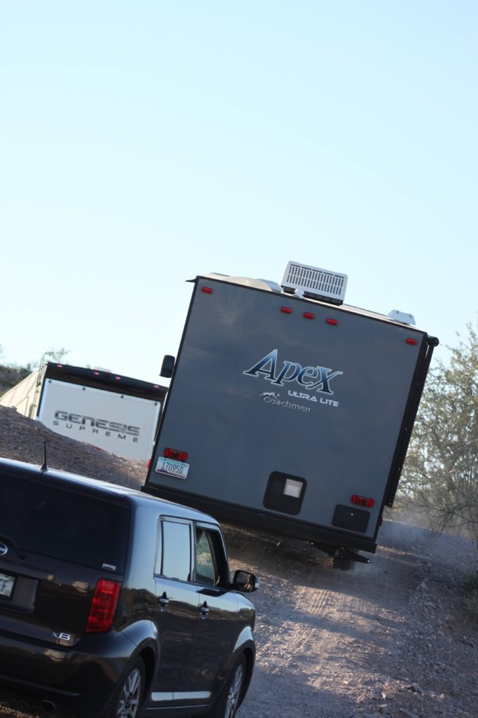
It was entertaining and amazing to watch how they tackled that hill and the vehicles that went up it. They had no qualms taking them bouncing through there! It’s not level!
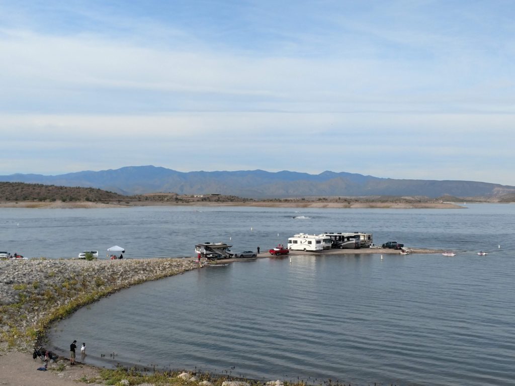
This is the largest spear of land that juts out when the water is low. It is very uneven with entrenched rocks. I was amazed at the vehicles that were taken out there! Knowing they were going to have to back those RVs up for quite a ways to get back out! Had to be a family or group to be that close together. The makeup of that jet of land kept changing over the weekends and during the week. First come, first served!
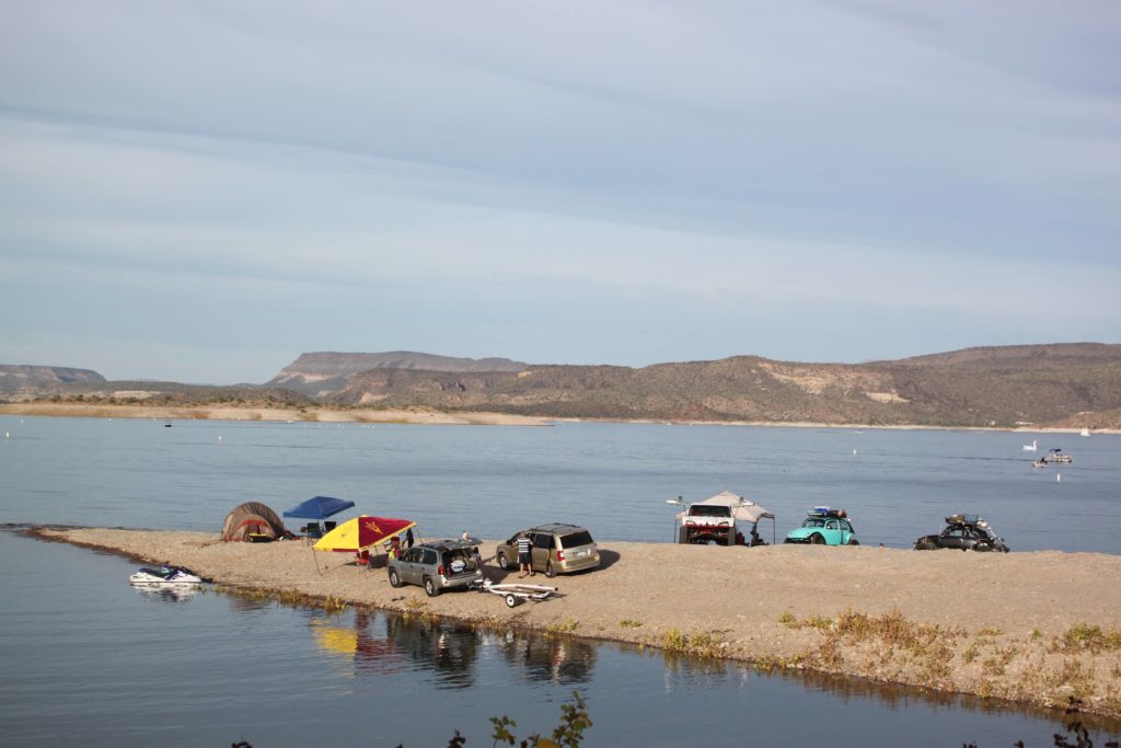
Another day, another variety of campers, or day users.
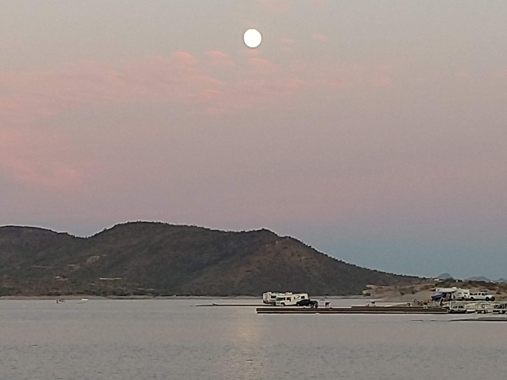
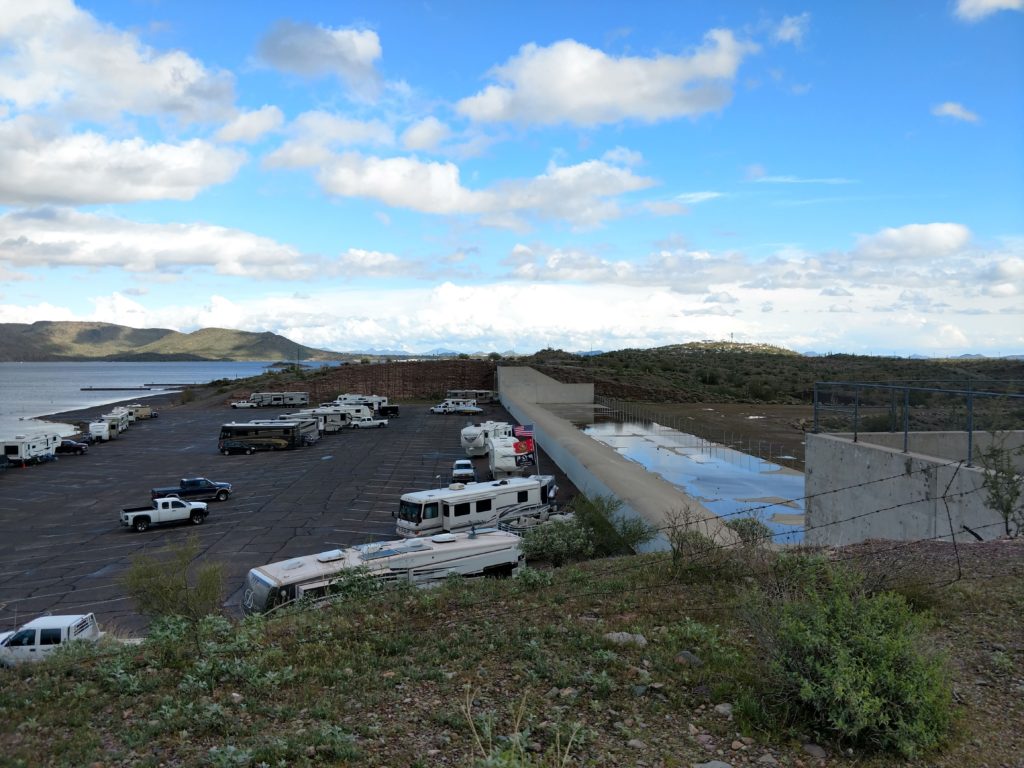
I’m glad I hiked up the nearby hill to take a picture of this parking lot / camping area. I was told this area is completely flooded when the Lake fills in the spring but I found that hard to believe! That had a lot of height to fill!
Well, when I was here in April 2020 when the Covid outbreak began, the lake WAS filled. Amazing!
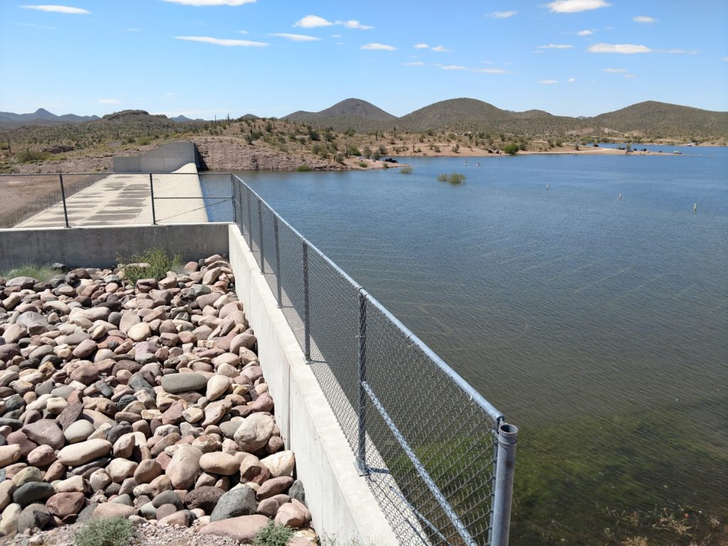
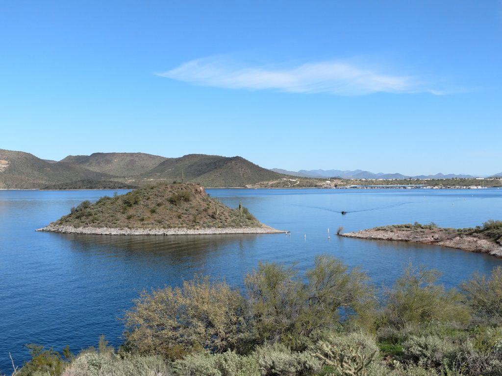
The island appears!
These pictures of the camping at Lake Pleasant were from November 2019 and February & April of 2020. There is no longer any camping allowed in that parking lot or on that spear of land. You still can get up into the sand area, but you have to come in from a different direction and it’s really a bad route for an RV. I didn’t see anybody going that far anymore.
I think what happened is last year during the Covid lockdown, this area was overwhelmed with campers. I imagine it got pretty rowdy and pretty congested. So they really put the lock down on it…which is too bad for the rest of us. But this Regional Park is close to Phoenix and it is very popular. So it is no surprise that that happened. Even the national parks were overwhelmed as we know.
Next I will share some of the scenic views and sunsets from the Park and then move on!