Mingus Mountain Scenic Drive
Time to take in some sights!
After resting for a couple days and catching my breath after this past 3 weeks of activities, I decided I wanted to take in some of the sights in the area that I have overlooked. One of them that I had heard of and read a little bit about, was the 89A Scenic Drive North out of Jerome, Arizona. Now I had been to Jerome as it is a tourist and Scenic destination by itself. But I had never continued on 89A past Jerome. So I decided to do that and today’s blog will be a bit of the scenery I encountered on the way.
Getting There.
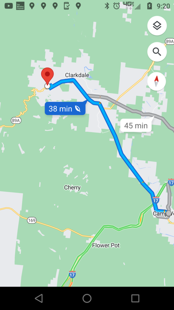
The drive over would take me back through Cottonwood, Clarksdale, and then through the city of Jerome. And all those yellow wiggly lines on the map was going to be the scenic route 89A. If I continued on the highway it would take me to Prescott, Arizona. But I was not going to do that because it would be a long way then to come back from there. So I was going to turn around once I got to the summit of Mingus Mountain.
Jerome, Arizona
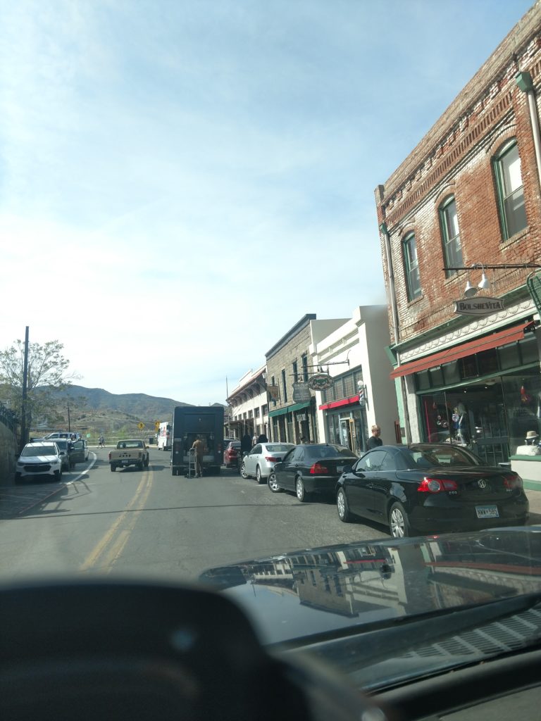
No matter how many times I go through Jerome, Arizona, there is always something quaint and scenic to enjoy. It is built so much into the side of the mountain that it’s entrancing. And the buildings have really retained their authenticity. So, I have included a few photos from this time as I did go out of Jerome in a new direction.
Total Surprise!
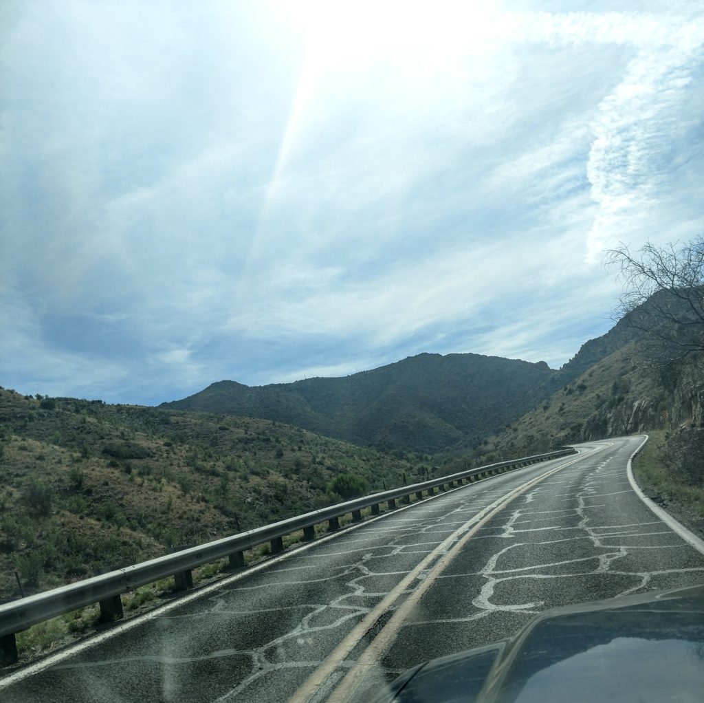
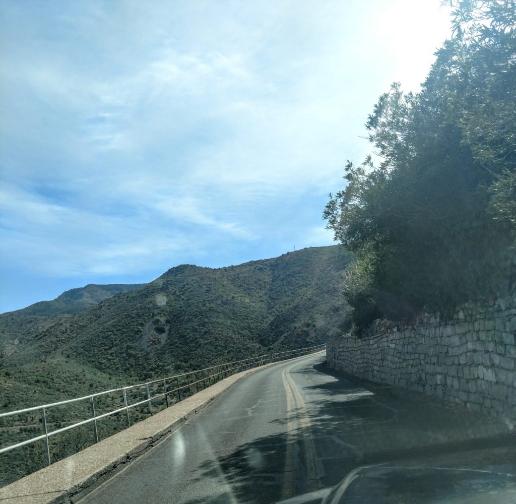
I wasn’t a half mile out of town when I came out of a curve around the side of the mountain and was totally “gobsmacked” by the scenery! Totally unexpected! I was just downtown! I realized I could not drive and take pictures so I pulled over against the side of the mountain and got out. I was fortunate in that there was not much traffic at all. Therefore I could stand in the road and take pictures, go over the railing on the side and take pictures and it was all good!
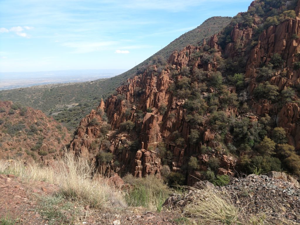
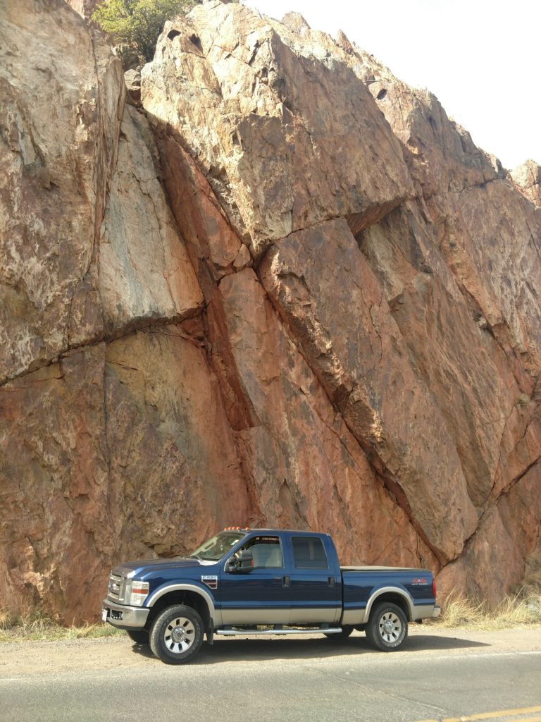
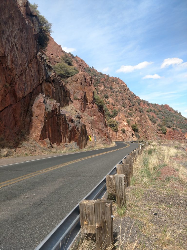
There was something about the beautiful red stone, the high, smooth but jagged mountain walls to the side framing the road, the railing and then the steep drop to the valley. Everywhere I looked it was just gorgeous. I never expected such a beautiful area.
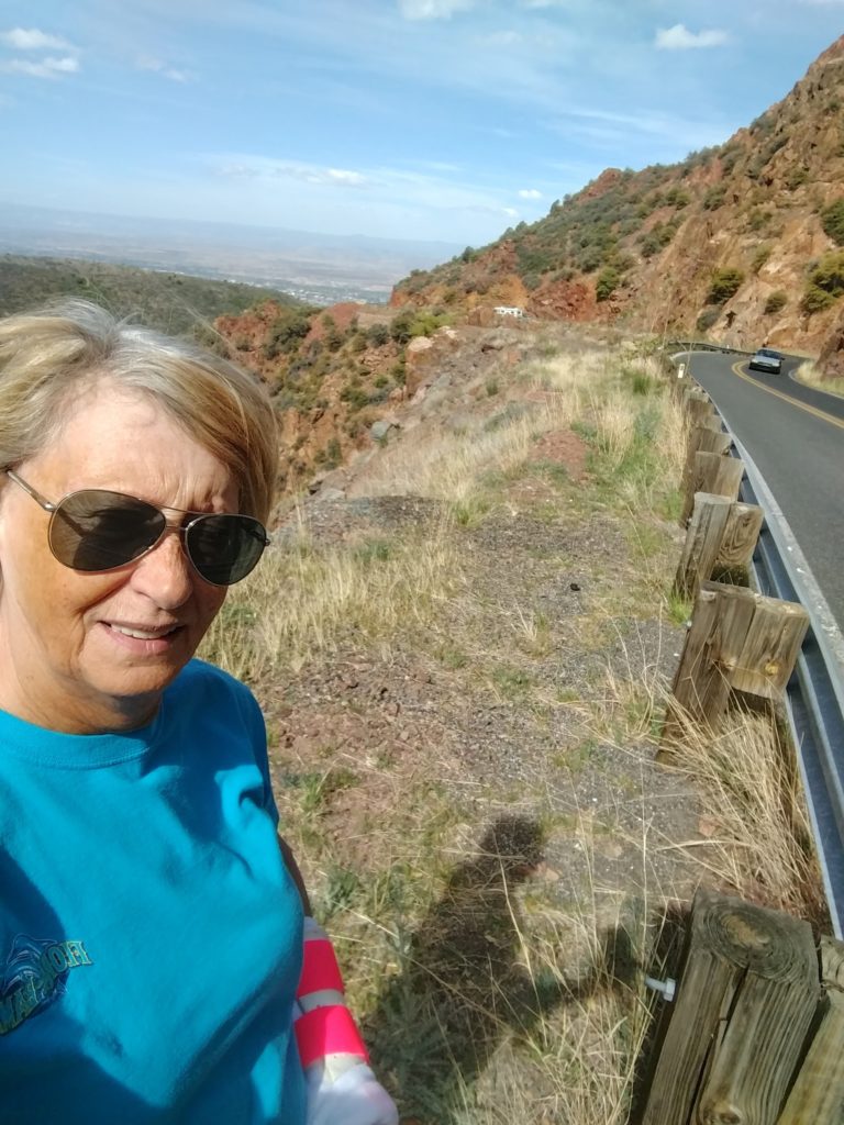
I finally got back in and continued the scenic drive. There was a pull off a bit further down.
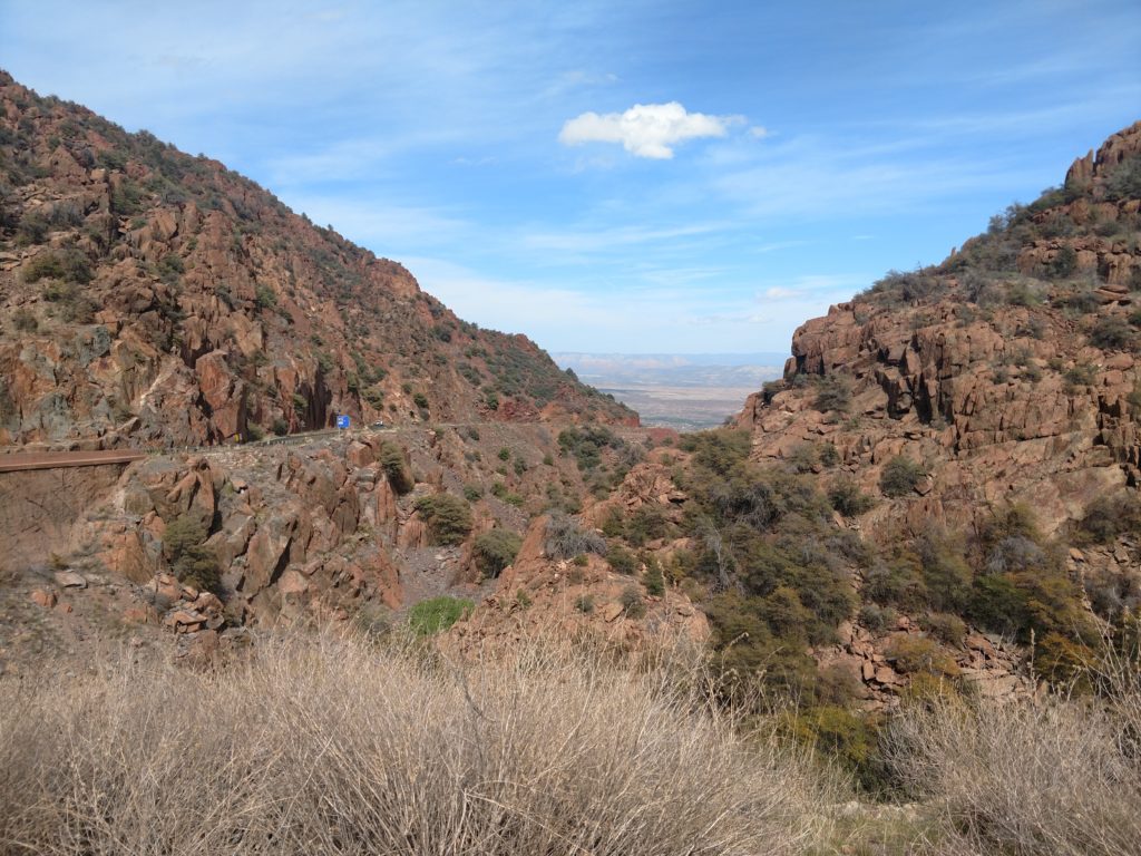
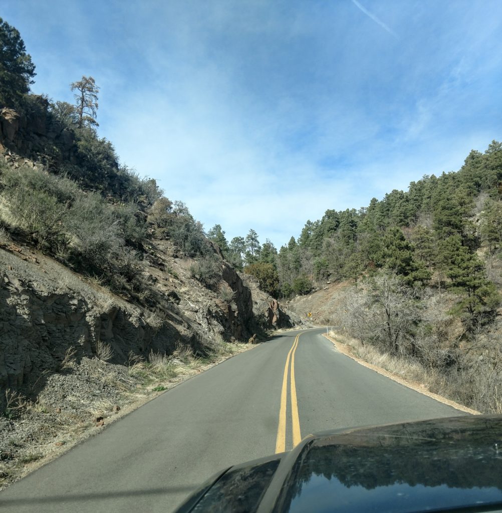
Moving on…There would be stretches where you would actively be climbing in elevation and then come down slightly. The types of plants, trees and bushes that grew at each altitude also changed.
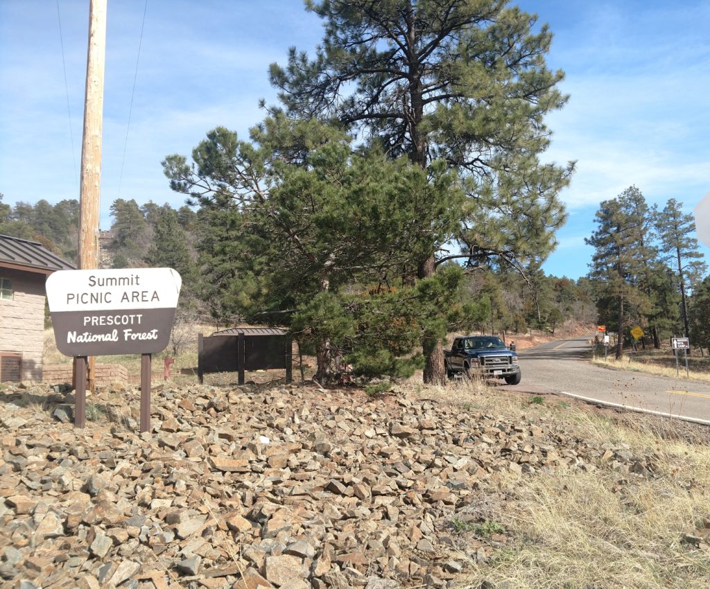
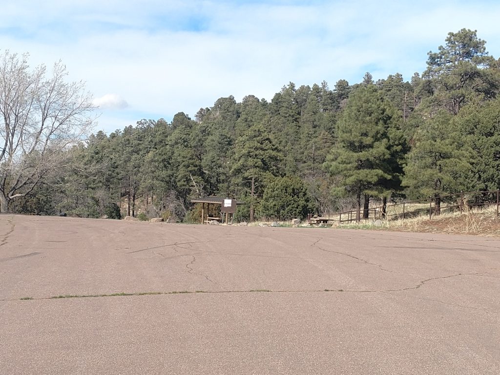
I did not expect to see deciduous trees as well as different types of pine and fir trees at the summit. I was expecting more of the grassland and bushes that I experienced at the summit between Camp Verde and Phoenix. But when I think about it, Flagstaff is a similar altitude and it definitely has the concentration of pine and fir trees.
They have a small picnic area with a large parking lot at the summit, however it was now closed. In addition they have some private camps and public trails that are on a side road at a higher altitude. I decided to check them out.
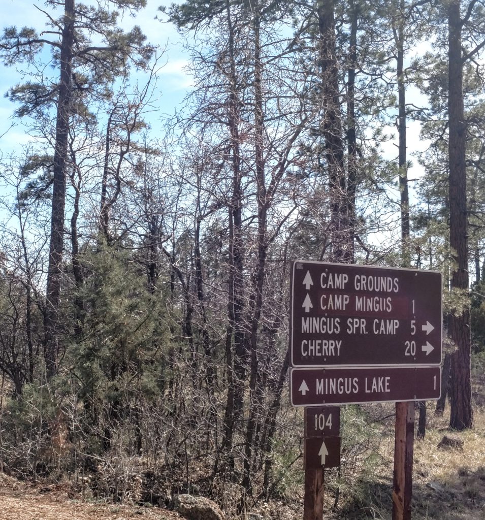
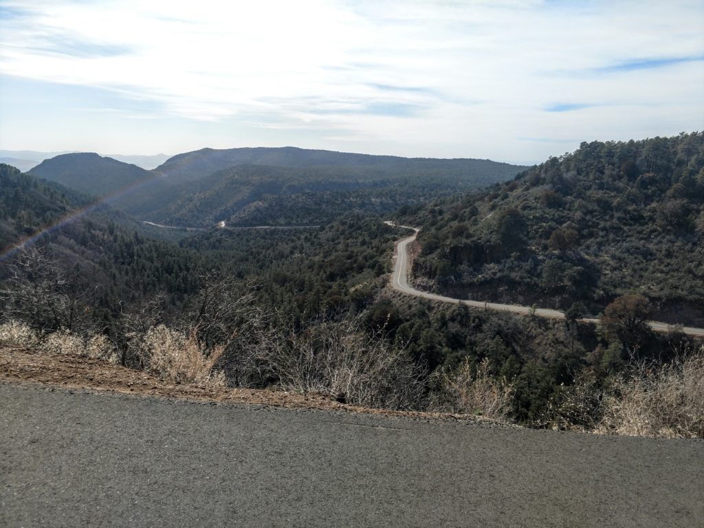
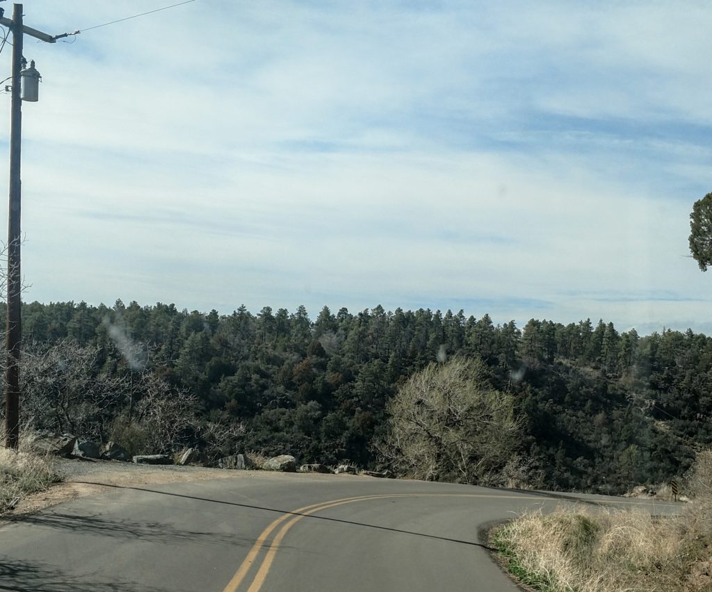
Well, I was extremely grateful that there were no other cars on the narrow road that I took for three miles up to the Mingus camp! 😯 I was in the outside lane, which means that I was near the edge of the road as I’m making curves and turns and not safely to the inside next to the mountain and land. This road is not for the “faint of heart”! My stomach actually got queasy. 😬 It was more than enough for me as well. There were sections on this road that , and I am not exaggerating, when the road ended it was probably a thousand feet down give or take a couple hundred feet. 😱 Absolutely no shoulder. And my truck took up most of the lane! So I was driving with my tires over the center line most of the way when I could see no one around.😅
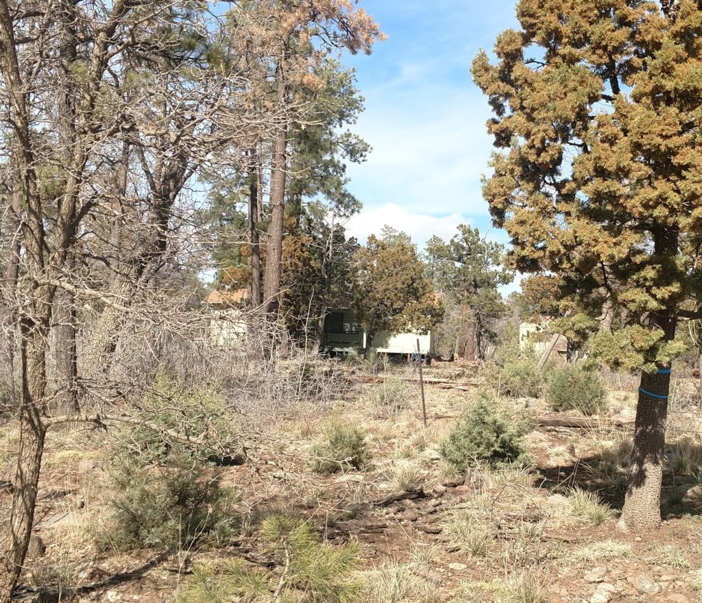
I was surprised to see two or three private homes up there as well. I imagine they may be seasonal and involved with the Mingus Camp. The roads to the camp and lake area were closed off. I did see a couple cars parked up there and a teenage girl by one of them. She shared that’s where the hiking trails are and they had been hiking. I felt no need to get out and check out the hiking trails. I have no intention of going hiking through the woods. 😅 I don’t hike where it looks a lot like Wisconsin. I can do that back home. It has to be something more dramatic and interesting. I’m spoiled!
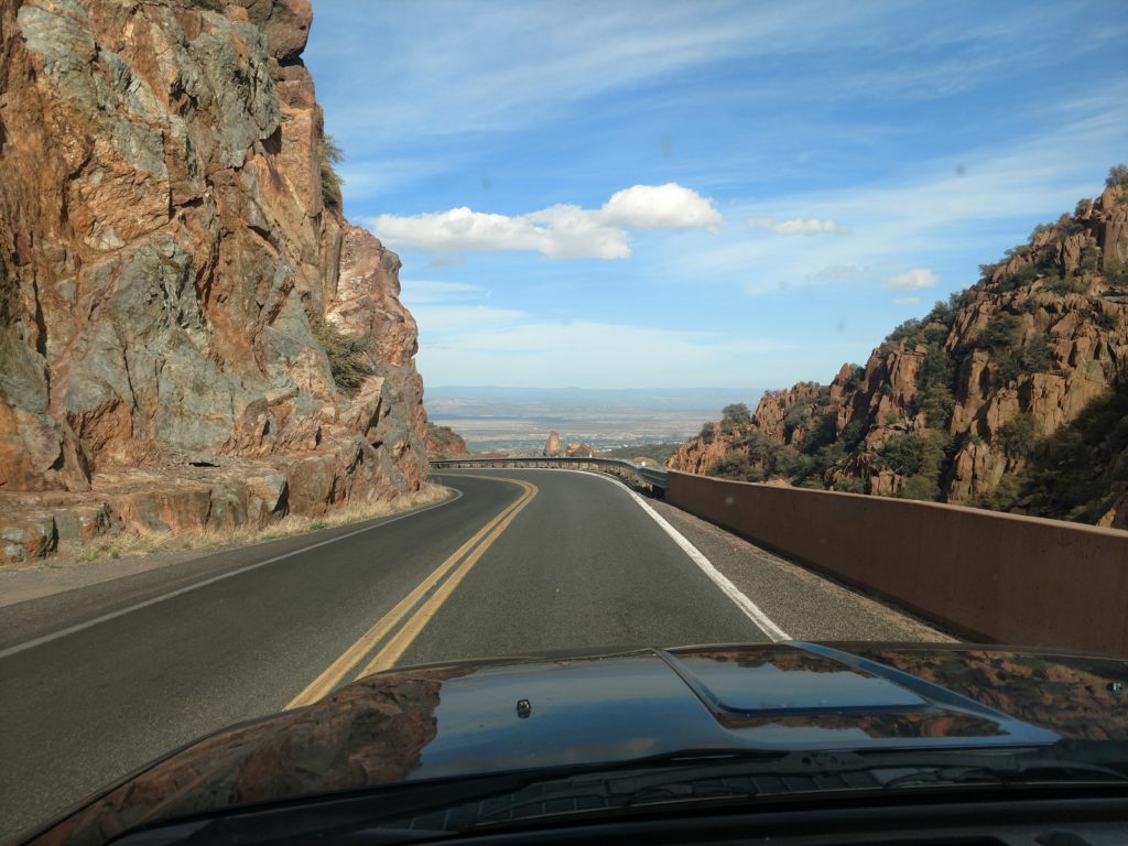
I took some more photos of the same scenic area into Jerome on my return. It always looks a little different going the other direction.
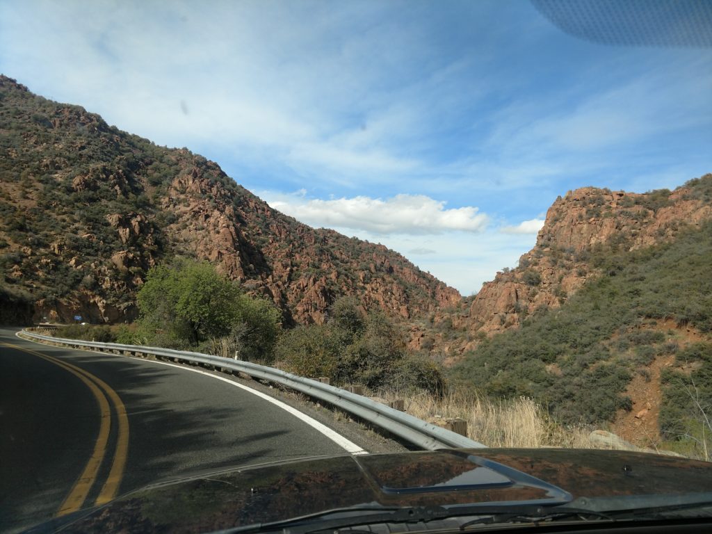
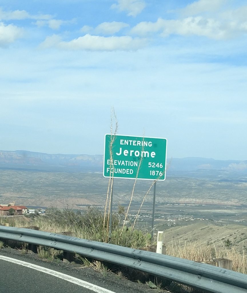
The drive was well worth it! It’s only 8 miles to the summit from Jerome, but it takes almost 20 minutes. There are a lot of curves and I mean a LOT of curves. I was afraid I had overdone it a little bit with all the turning of the steering wheel. My left arm was tired and my right had assisted a little bit which concerned me. Probably not the best timing to have taken that road this early post surgery, but it turned out all right after all.
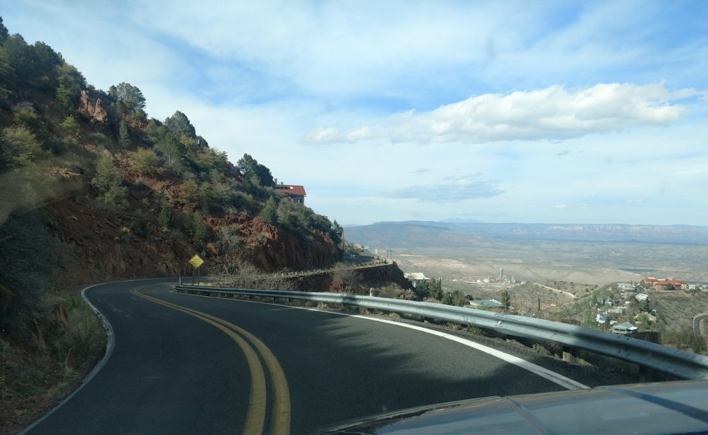
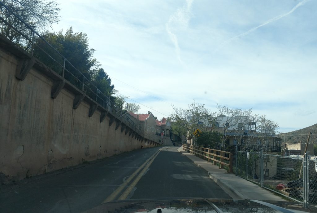
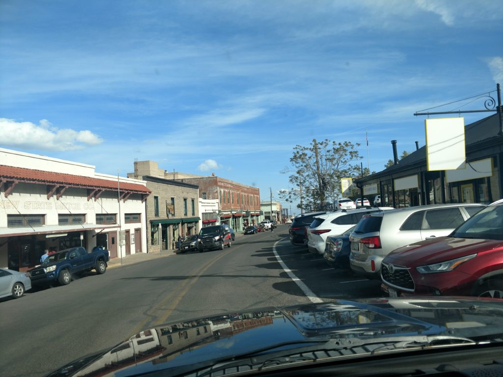
Then it was a drive back to camp verde. Looking at the pictures, it doesn’t seem to capture the beauty of the visage. As you well know, you can’t always capture what you see because of the enormity of the visage. But I hope you enjoyed this scenic tour of highway 89A out of Jerome in Arizona!! Definitely different scenery than in the Midwest. 😊