Sedona ! Day #1
Friday, February 4th
I decided to skip ahead in the blog and share where I am now and what I am doing now. I will catch up with the other days eventually!!! 🤞😉
I checked out of Lost Dutchman State Park on the east side of Phoenix on January 31st. I drove west and then north to Dead Horse Ranch State Park which is located in Cottonwood, Arizona. 2 1/2 hr. drive. The elevation at Dead Horse is 3,327 ft compared to Lost Dutchman which was 2,000 ft. It is colder up here, especially at night so I tried to get a site here later in the winter. February was as late as I could get because everything was booked solid. It’s a popular Campground because it’s not too far from Sedona.
The drive to Cottonwood, Arizona is a real challenge. You leave Phoenix at 1086 ft and climb to Cottonwood / Dead Horse at 3,327ft. over the Black Hills Mts. of Arizona. There are steep climbs of 4-5 miles that have you alternating between 45 mph, and then downshifting and accelerating up to 55- 60 mph and slowing down to 45 mph again. If it wasn’t for turbo, I wouldn’t have a prayer. (The truck did have its exhaust sensor replace last week and that was the difference between night and day as It regulates the turbo.) Anyway, the same challenge I had when I drove south from Flagstaff. 😲🤦
I arrived at Dead Horse in the afternoon and was very happy to find out that my site was a pull thru! I am in Quail Campground and all of the sites here are pull thrus with water and electricity!! Very, very happy to have both again!! ( I had neither while I was at Lost Dutchman.) So after I went through the ranger check-in, I dumped my tanks and then set up in my site.
The first day I slept in . Then I set about making an actual pot of coffee, microwaving my lunch and using my electric fireplace again. I also put out all my bird feeders because I had an excellent place to do that. And the birds came!!
The last two days the weather has been quite cold. In the evening the overnight temperature was in the teens. (They encourage you to disconnect your water hose at night.) I took in the nature areas that they have here in the park and yesterday went to the city of Jerome which is an elevation of 5200 ft. Old mining City. Great shops, great little town. I’ll have more about that later
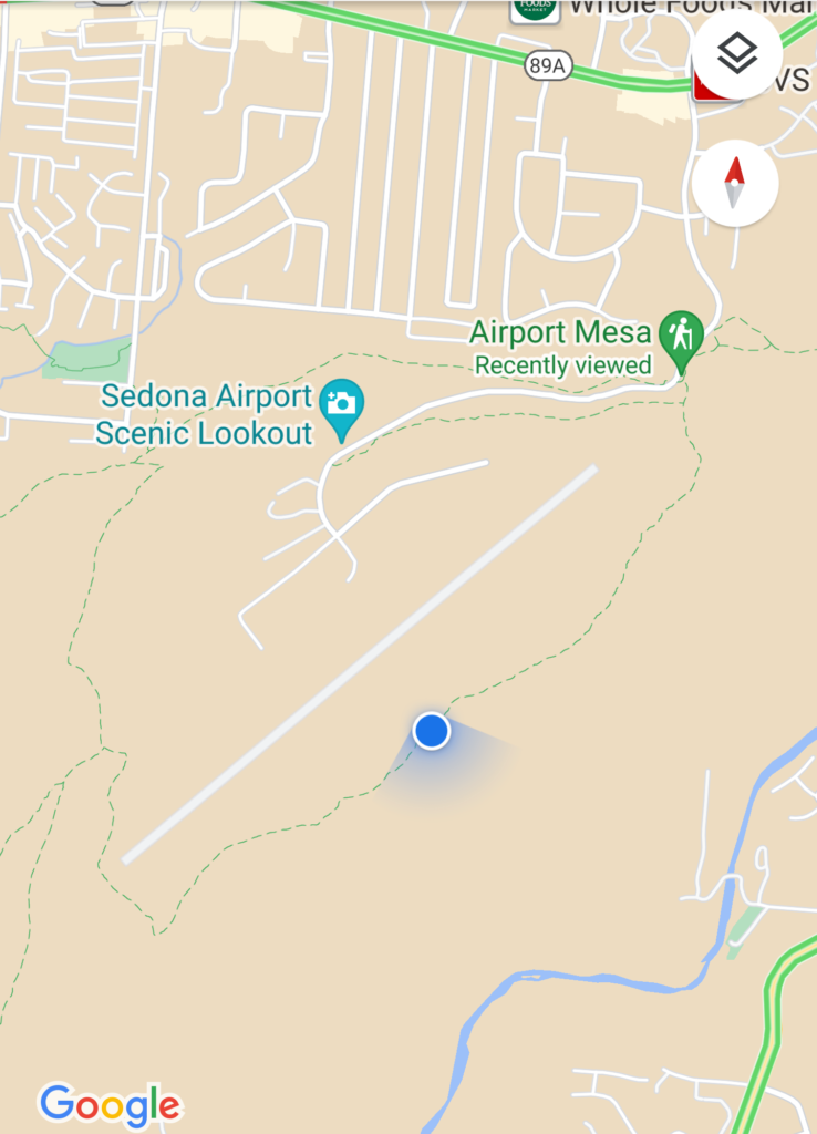
Today was the first day with the sun and temps. into the high fifties, so I planned to do some hiking in Sedona. There is a beautiful rock hill that is located near the area of the Sedona airport. It is called the Airport Mesa Summit. I think it is the only place in Sedona while you will have a 360° view of the area. I have not been there before so I decided to take that in today.
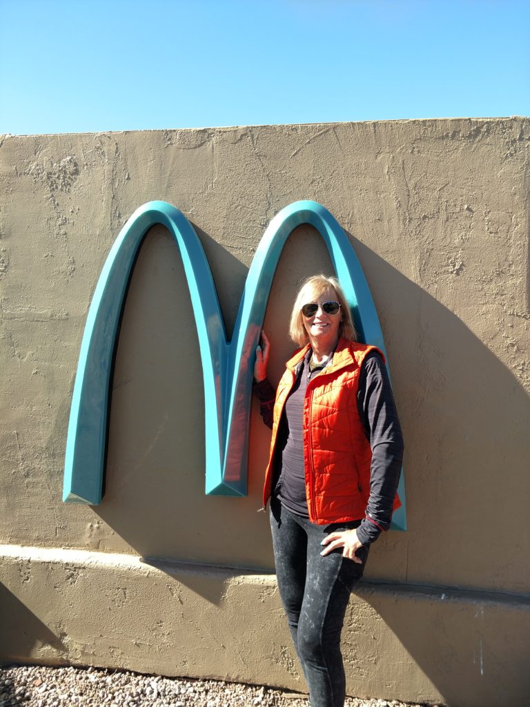
Before going on the hike, I needed a high protein lunch so I stopped at McDonald’s drive thru. I noticed the “M” for McDonald’s in Sedona is quite a different color, more in tune with the surroundings! And numerous people were getting their pictures taken in front of those M’s. So here I am!
It wasn’t a very far drive to the Mesa. However the parking in front of the trail is extremely limited! No room at all! So I went further up, turned around, went down to the bottom and was going to make a loop around the airport but couldn’t find the way. When I went back up the same way again, two vehicles were pulling out!! Amazing! So I was able to park right there! I found out later that near the airport summit close to the airport, there is a gravel parking area. It costs $3. There is a trail from there that connects down to the trail to the Summit trailhead where I parked.
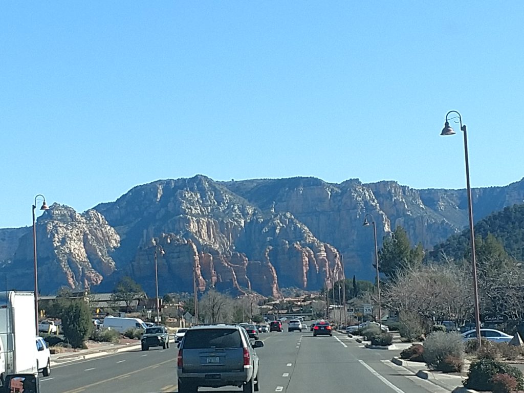
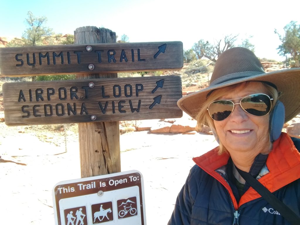
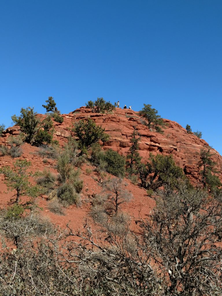
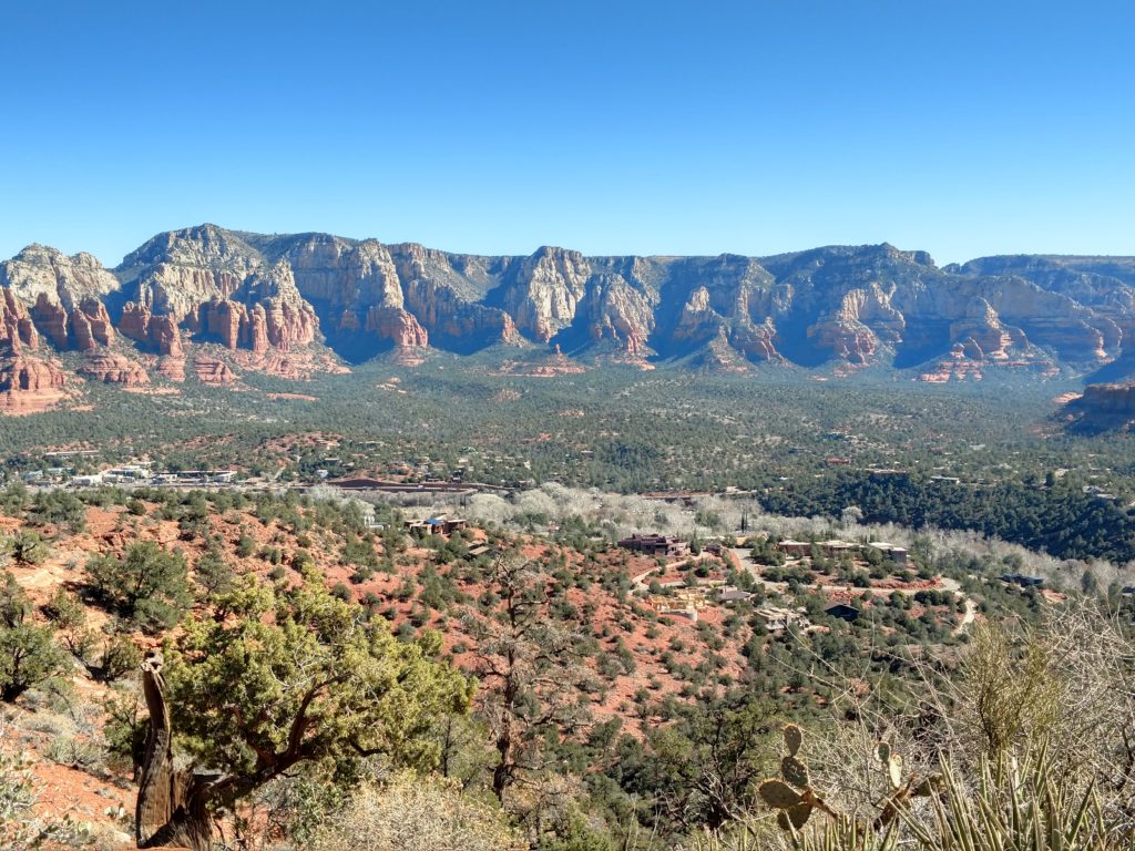
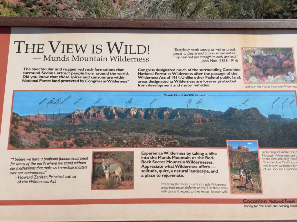
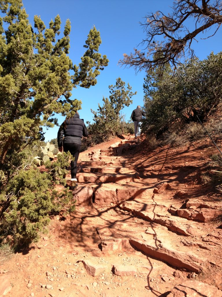
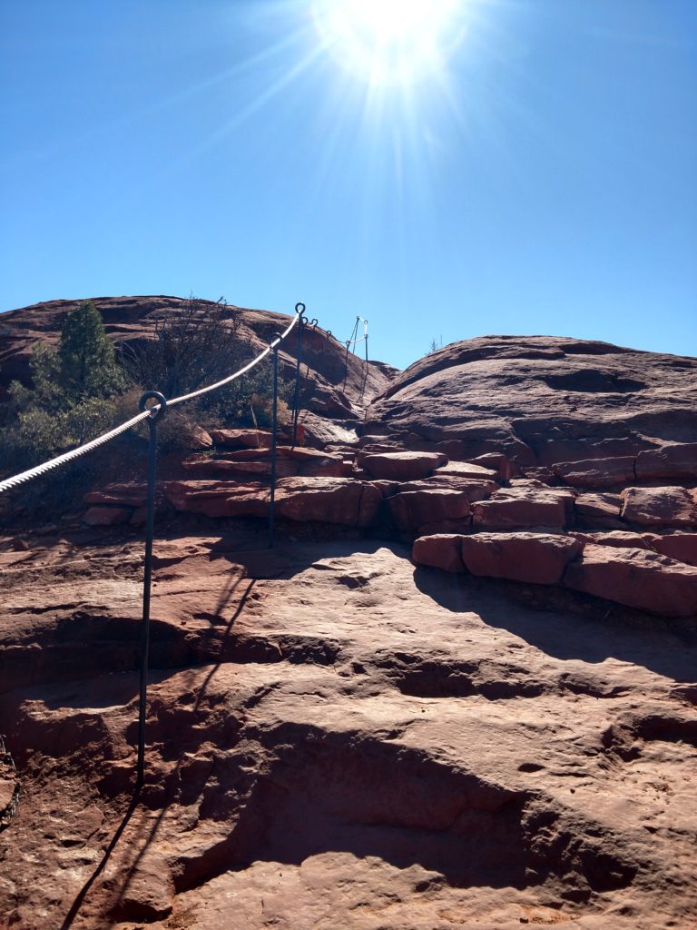
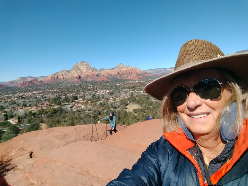
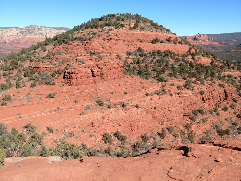
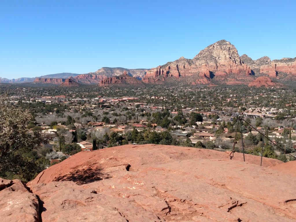
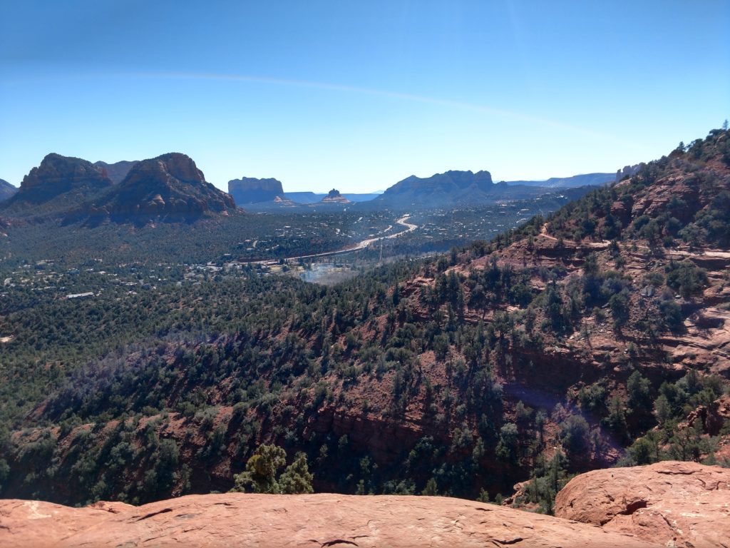
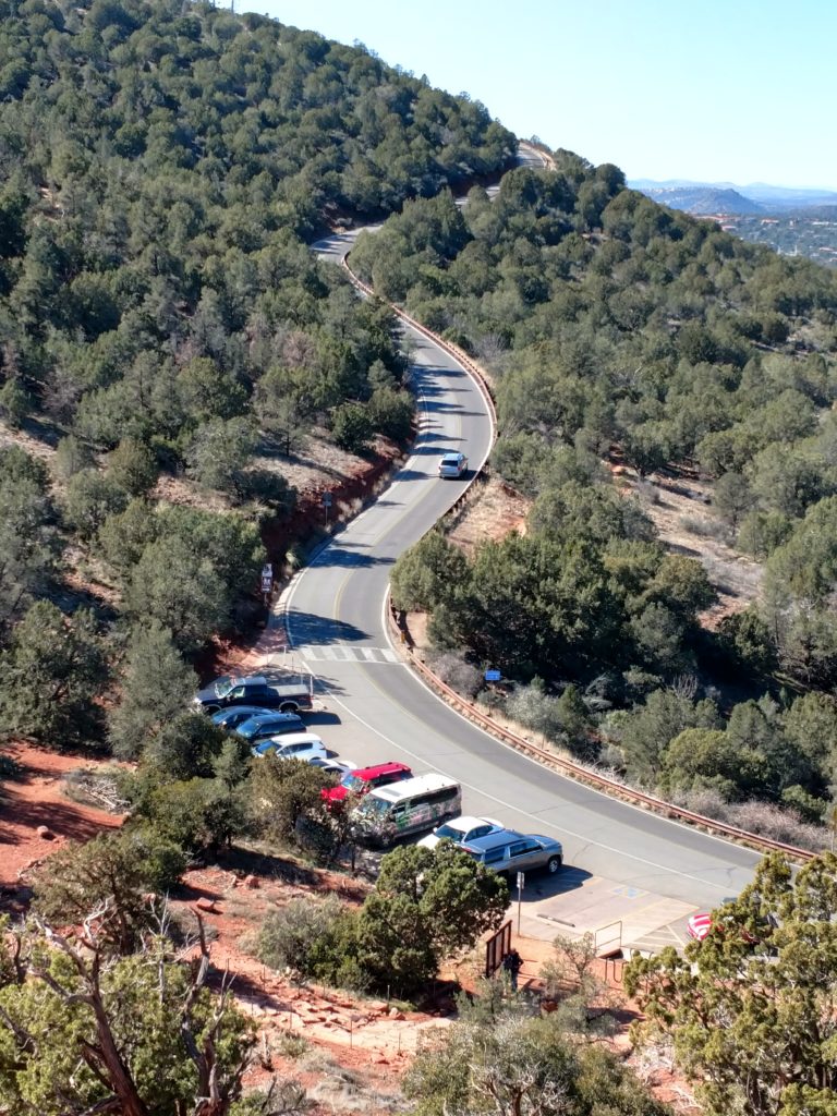
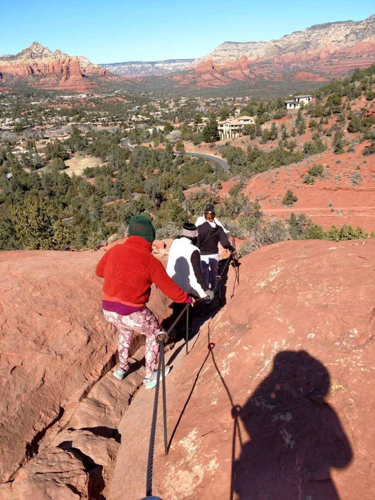
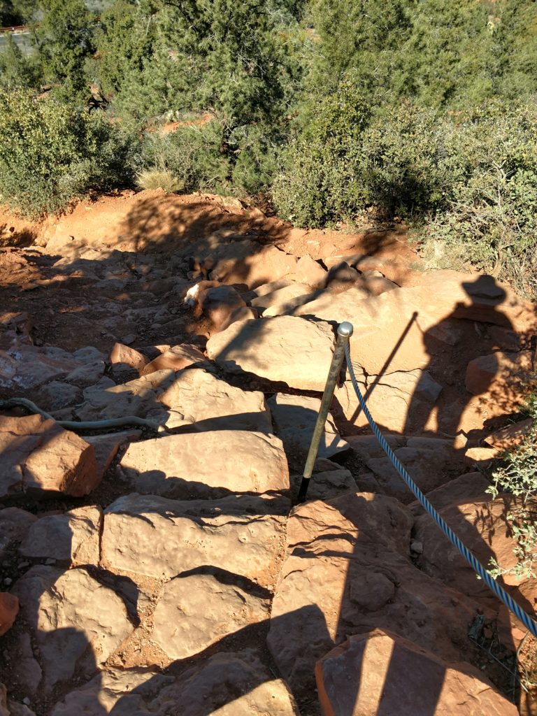
Airport Loop
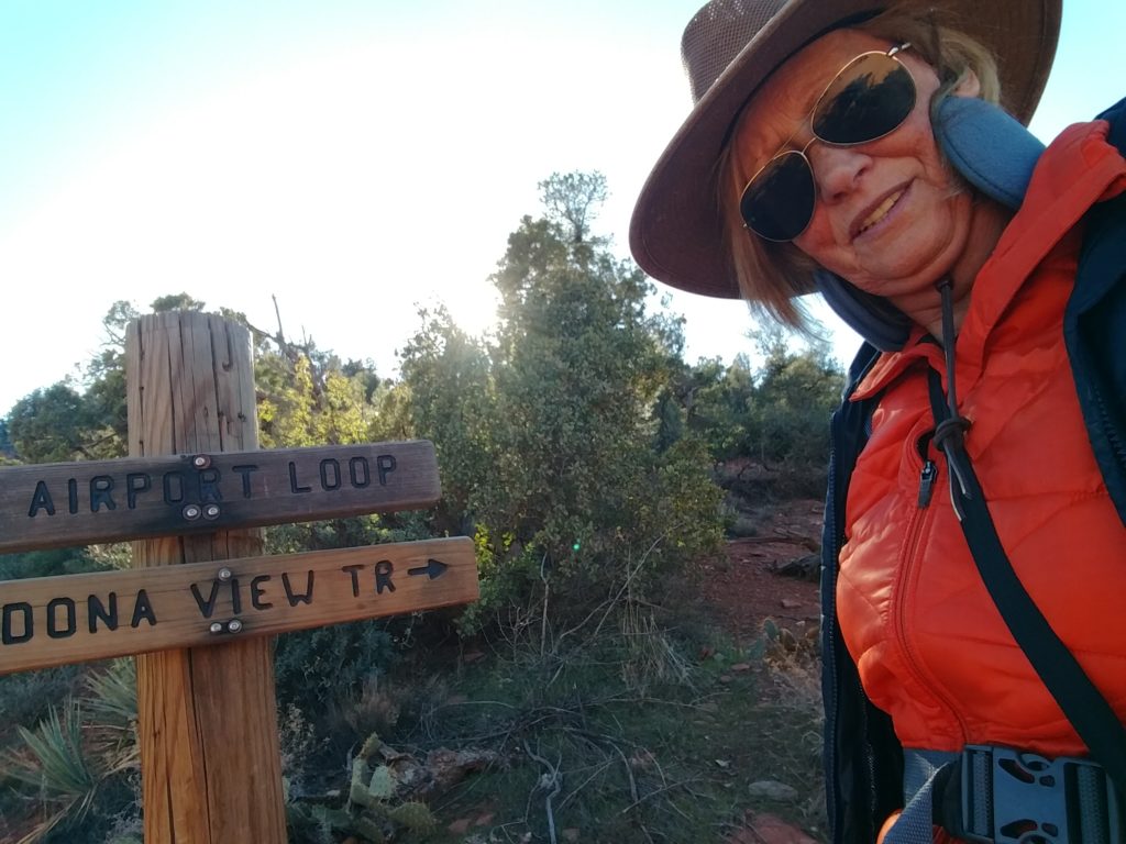
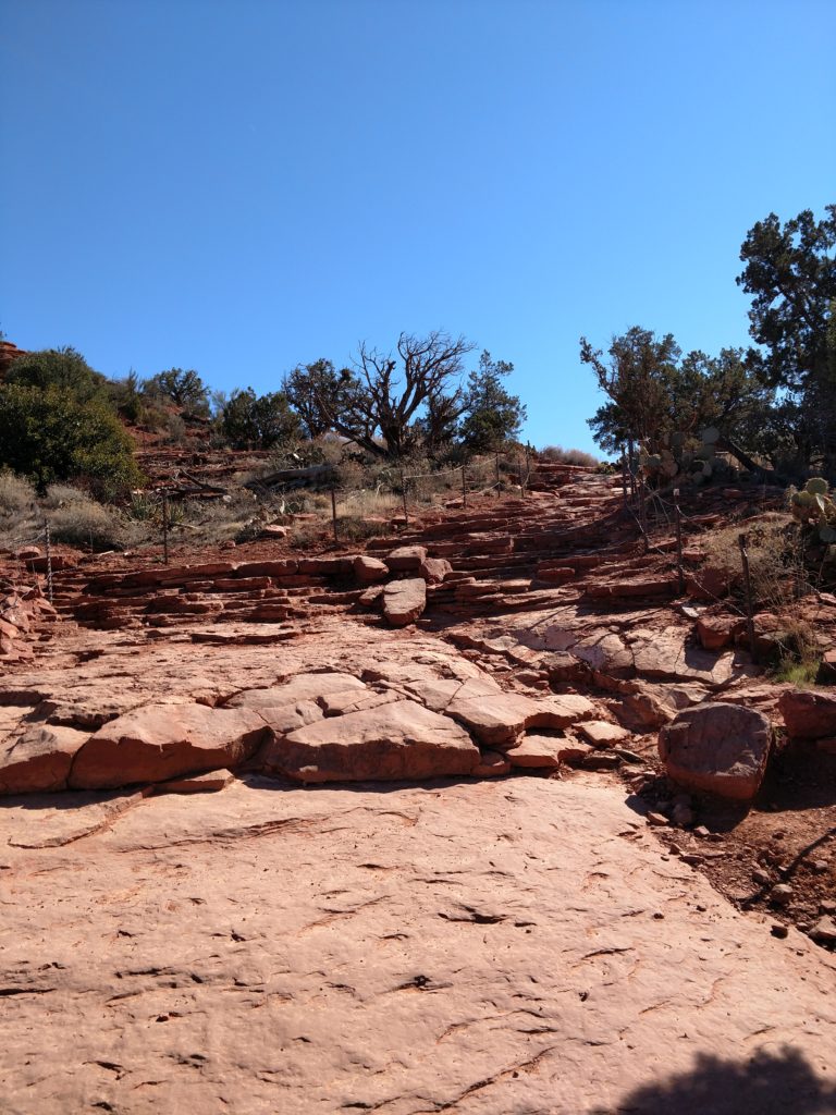
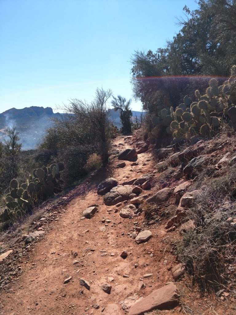
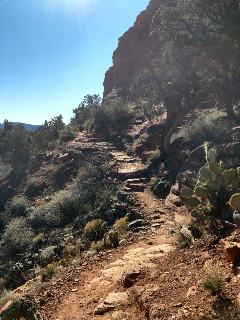
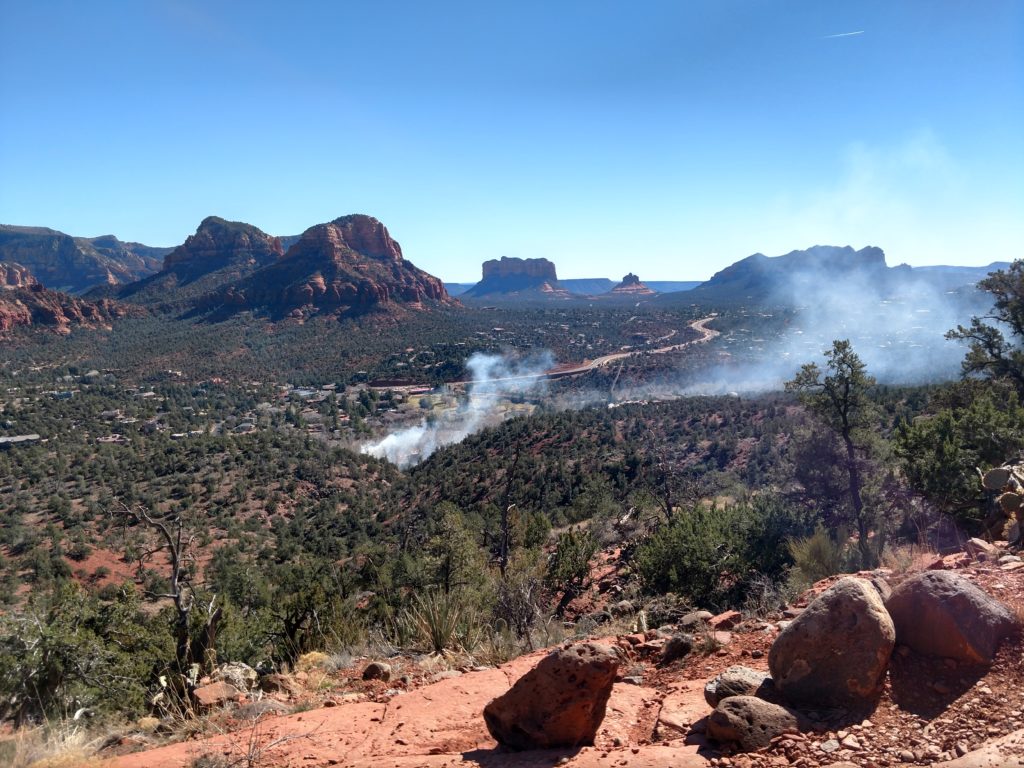
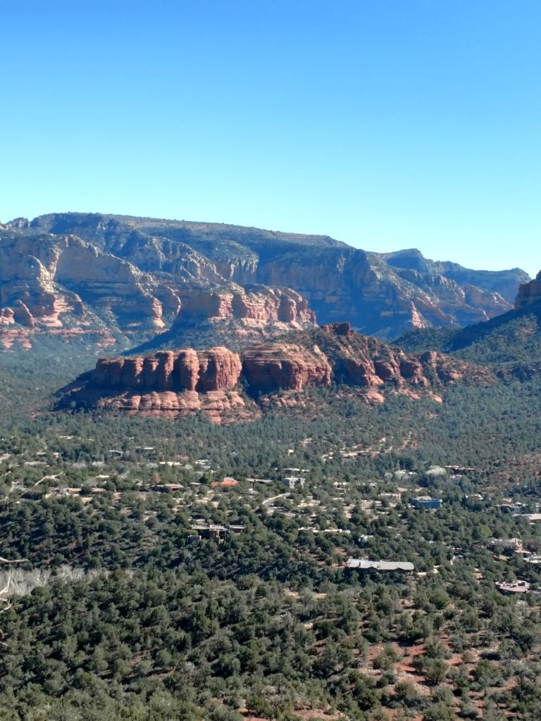
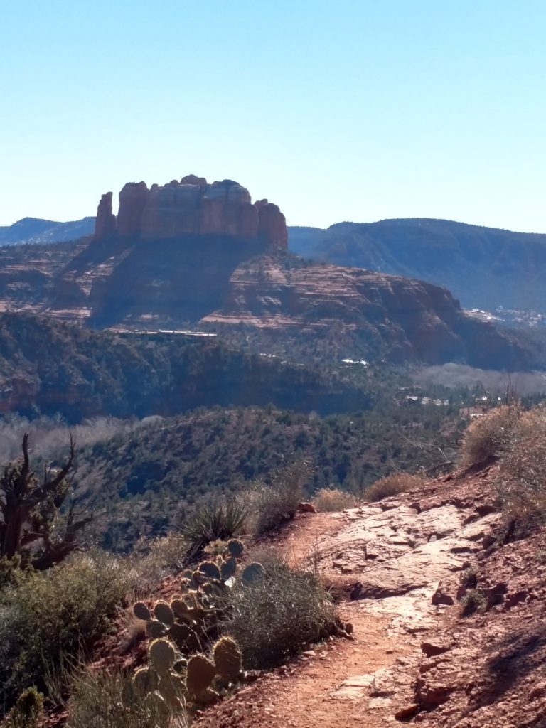
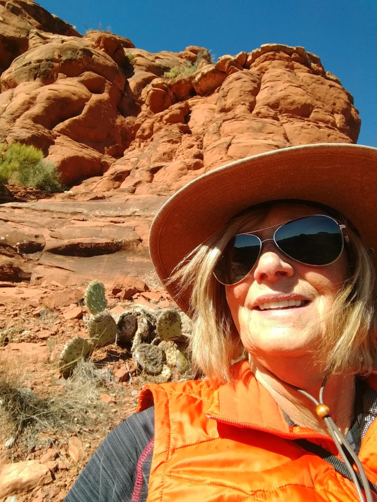
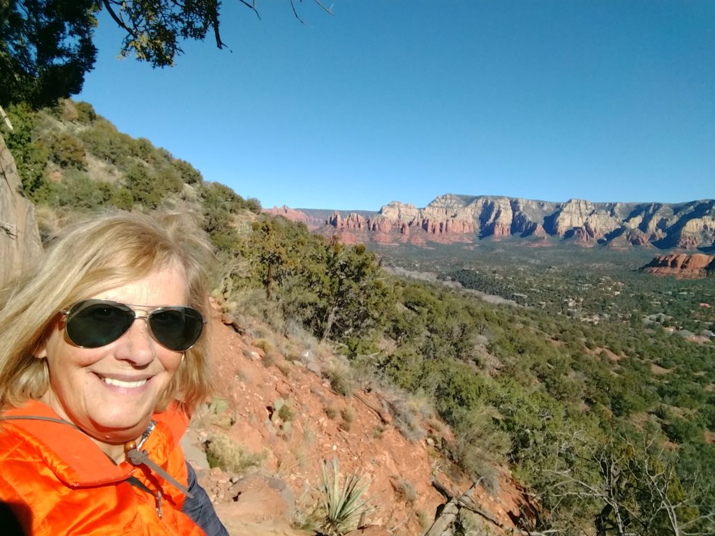
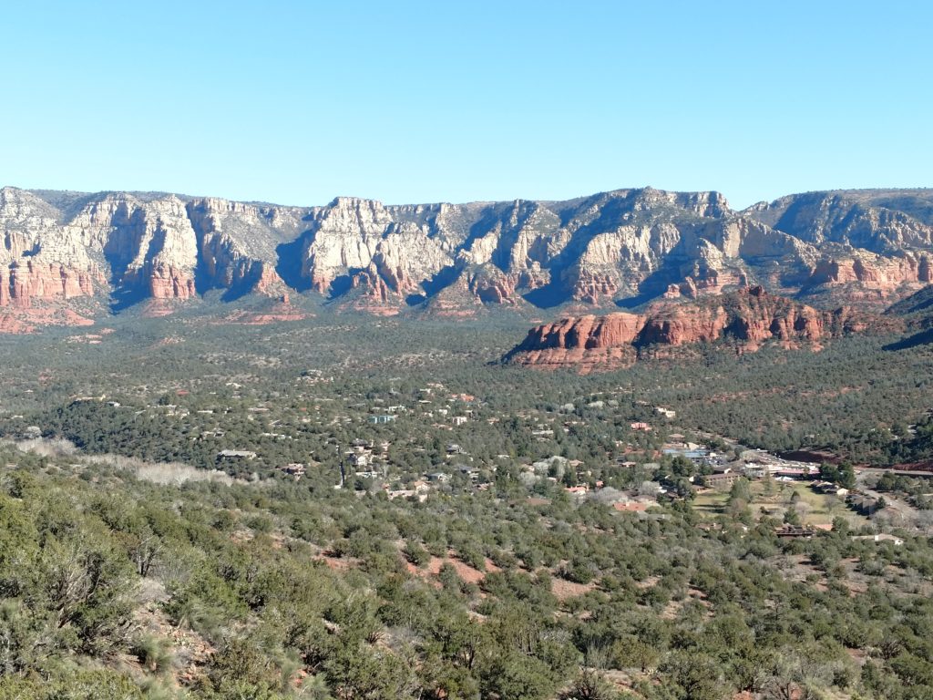
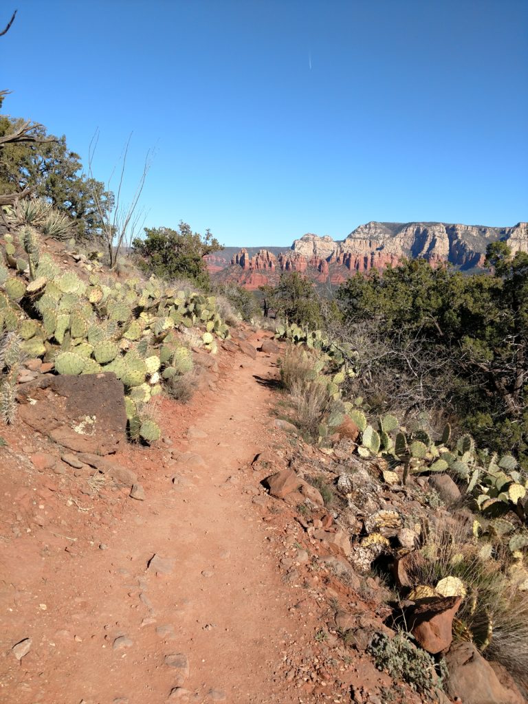
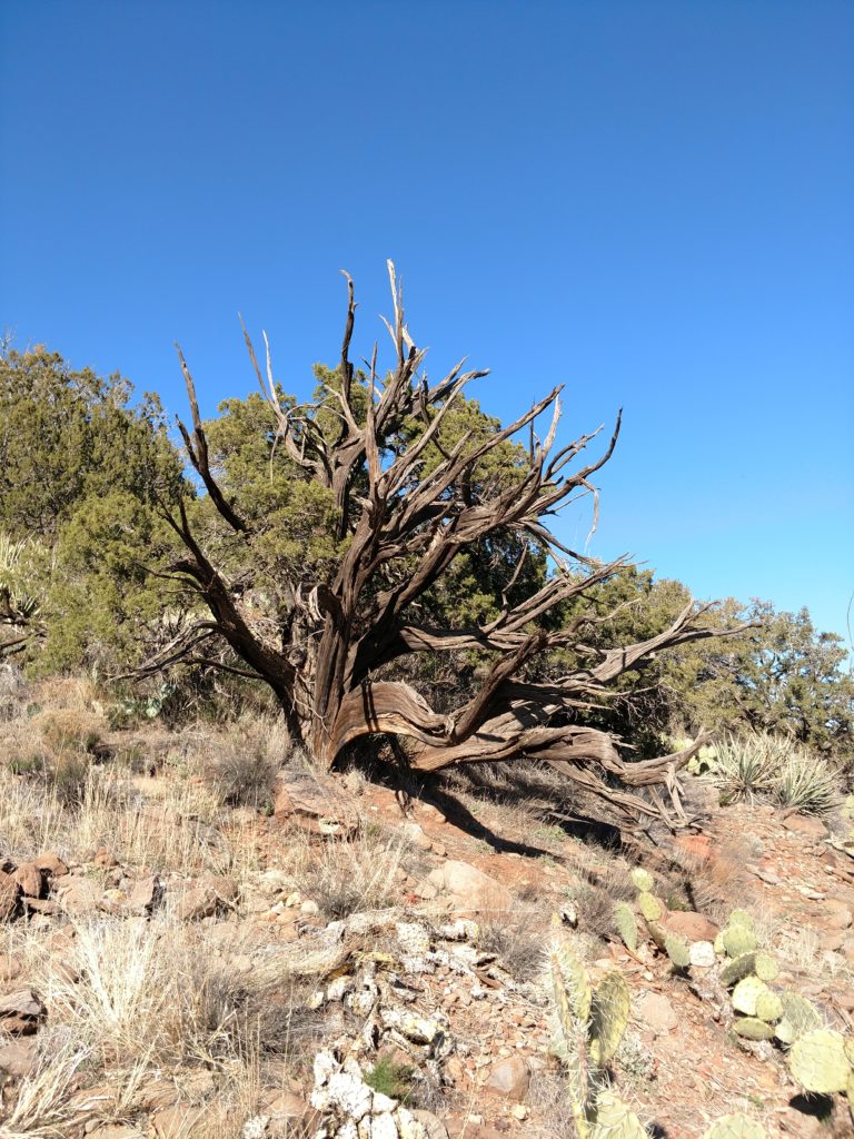
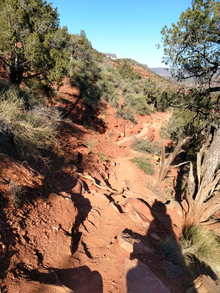
Except for the occasional gusts of wind, it was a beautiful day for hiking. I had lots of layers on. They all came in handy. The airport loop, loops around the entire large Hill you saw previously to the right. It’s between a three and four mile loop. I just decided to hike along it to enjoy the view and turn around when I had enough. It was quite a pretty hike with a variety of scenery. It was not a real populated Trail either. I met people coming from either direction but there were long periods of quiet. 😊
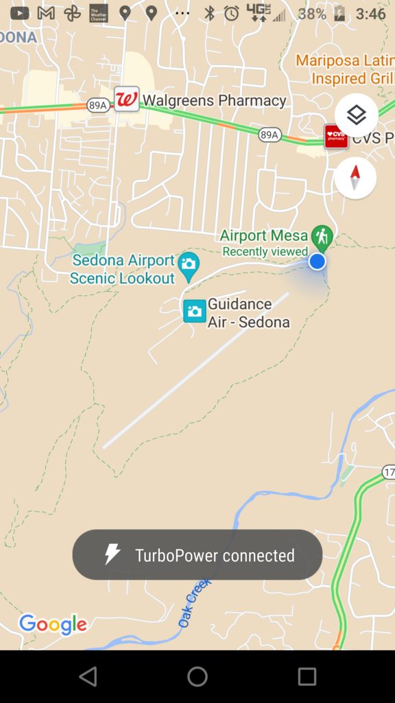
Come on along the hike with me. I’ll show the changes in the trail and the beautiful scenery along the way. 🙂
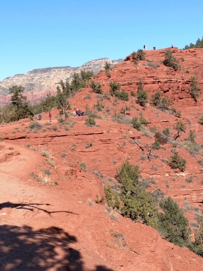
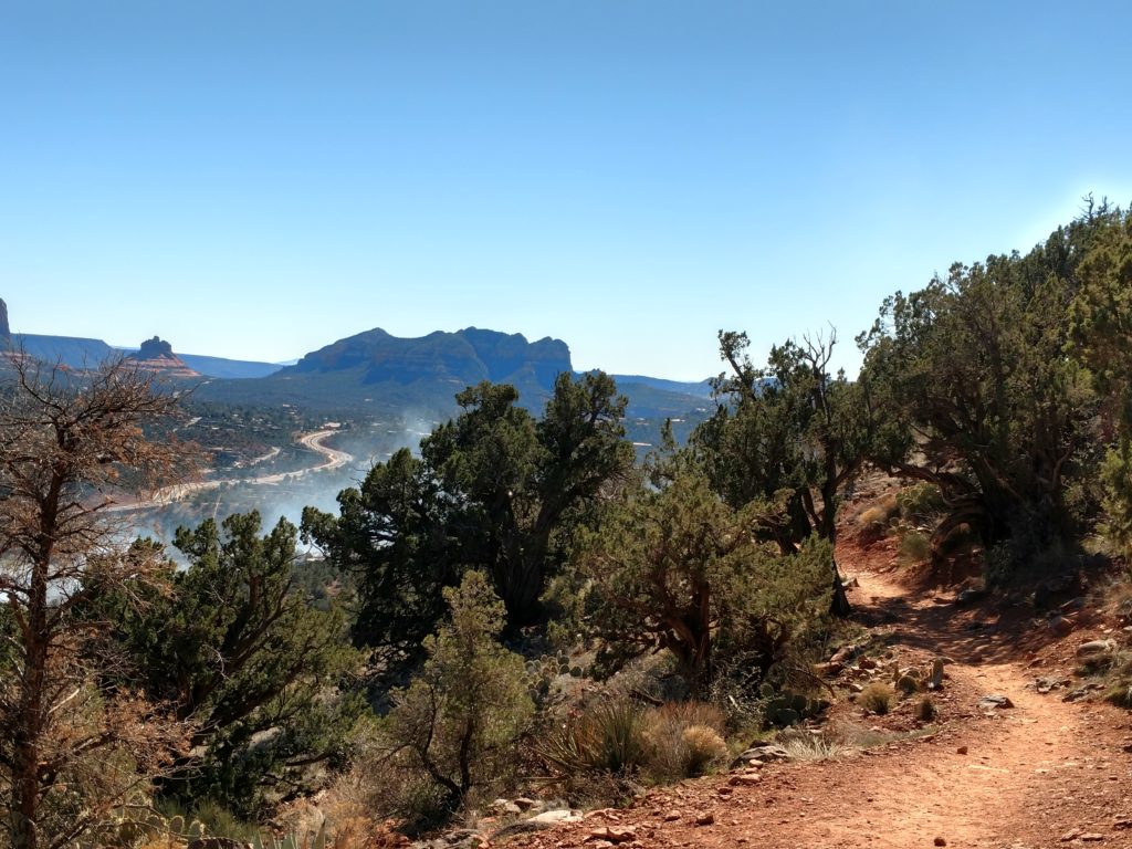
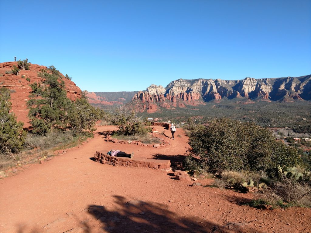
By the time I finish with the second hike, my legs were just beginning to get tired. My right knee was beginning to get sore as well. That knee is the one that really determines how far I hike in a day.
All in all it was a good hike and a good day. The first of many to come I hope. I will keep you posted and try to keep this up-to-date!
Until next time… 🤗